3) Rockwood to Markleton
Gauge Conditions
Data from American Whitewater & USGS
Run Map
Description
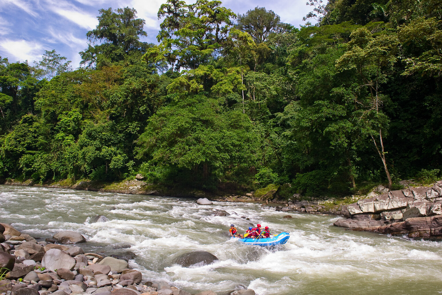
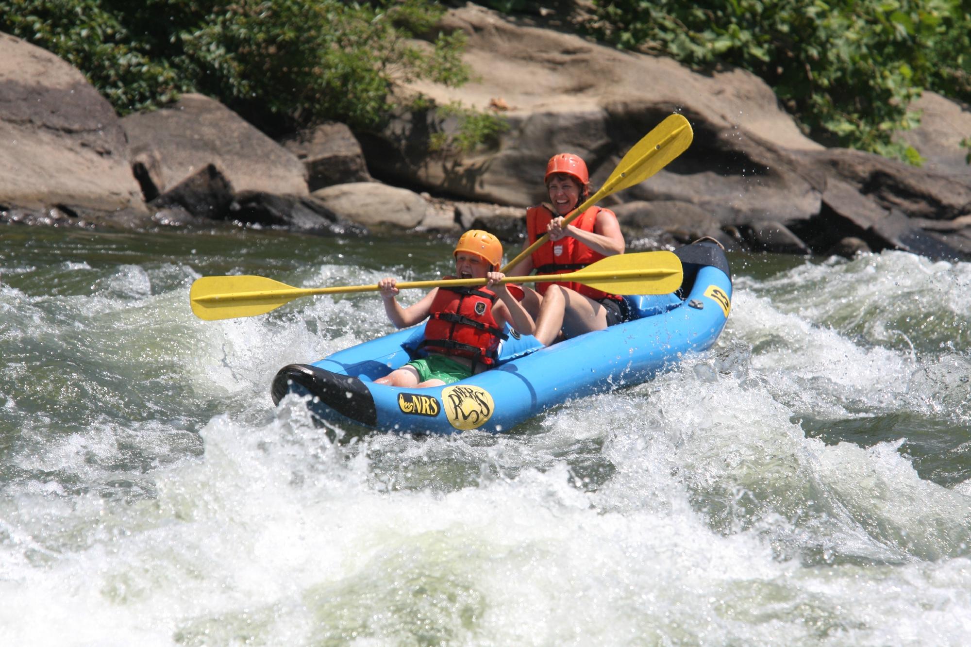
This description is for the section from Rockwood, PA to Markleton, PA, which is about 7 miles long. Assuming medium flows under 3 feet on the Markleton gage, the descriptions of the rapids are pitched toward novice kayakers and open-boat canoeists who are gaining comfort in Class II rapids. In addition to the rapids described below, there are several other Class I rapids and ripples. Compared to the Middle Yough, this section of the Cassselman advantageously lacks a flatwater section equivalent to the doldrums, as a steady current is generally maintained throughout. Various lunch spots can be found, including underneath the railroad trestle about halfway through this section. Bike shuttling is possible along the GAP trail, which parallels the river on the left bank
The putin is on the river left/downstream side of the Rockdale Rd. Bridge in the center of Rockwood, PA. There's typically plenty of parking to be found in the GAP trail parking lots just up the hill from the boat launch. The take-out is on river left/downstream side of the Markleton Bridge if you have a PA Fish and Boat Comm. sticker or on river right/upstream side of the Markleton Bridge if you don't. (The comment about the Fish and Boat patrolling was seemingly salient before 2020, but in subsequent years, the presence of patrolmen has seemingly ebbed.) Also, be thankful for the work of the Casselman River Watershed Association to enhance access for whitewater boaters.
Area Camping
Ohiopyle state park
Laurel Hill state park
These state parks will not allow any rowdy-ness or ALCOHOL.
There are also a number of private campgrounds in the area.
Rapids in this Run (5)
Difficulty
Class II(III)
Length
6.8 mi
Rapids
5
Access Points
Shuttle Info
From the Markleton Bridge take-out, go east on Markleton School Rd. Markleton School Rd. will turn mostly north and continue on it for roughly 11.5 miles. Where it ends at Rockdale Rd., turn left (west) and follow Rockdale Rd. 0.25 miles to the Rockdale Rd. bridge. Just before the bridge (river left/downstream side of the bridge) turn left into the parking area. From Rockwood put-in go east on Rockdale Rd for 0.25 miles and turn right onto Markleton School Rd. Follow Markleton School Road South for roughly 11.5 miles to the Markleton Bridge.
Difficulty Classes
I Easy
II Novice
III Intermediate
IV Advanced
V Expert/Extreme
VI Unrunnable
Current Conditions
5-Day Forecast
Whitewater data from
American Whitewater
American Whitewater