3. Station Camp to Blue Heron, KY (19 miles)
Gauge Conditions
Runnable: 500.0 – 10,000.0 CFS
Boatable, but marginal whitewater.
Data from American Whitewater & USGS
Run Map
Description
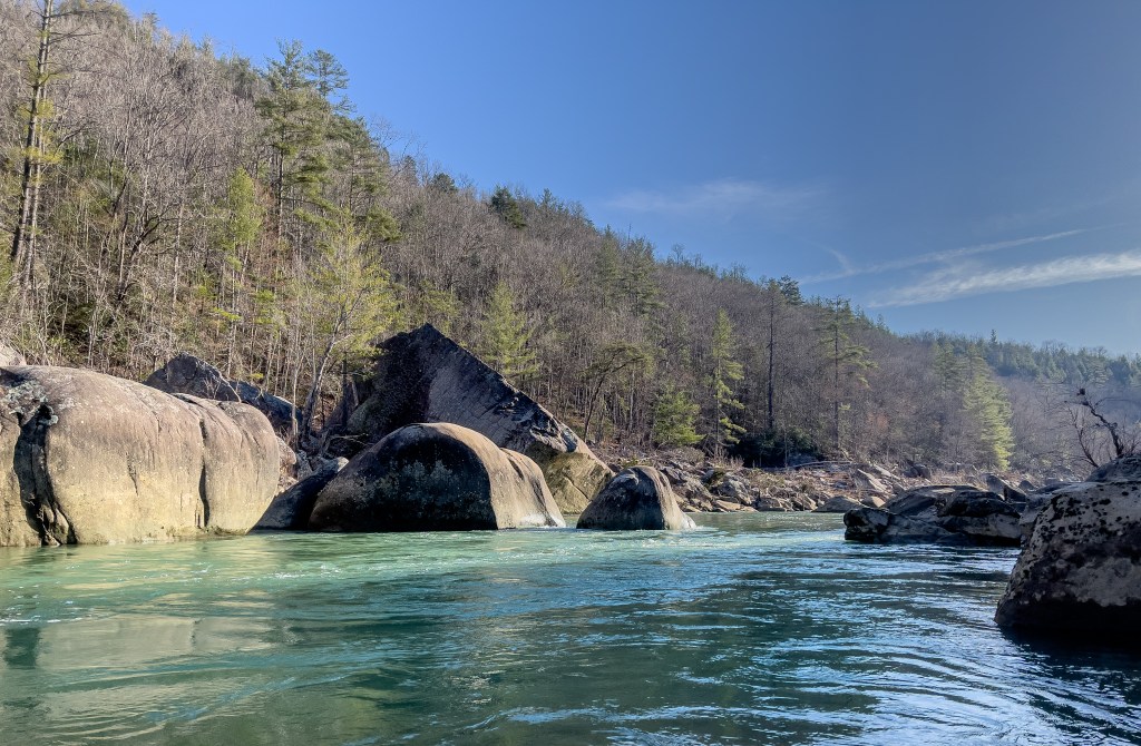
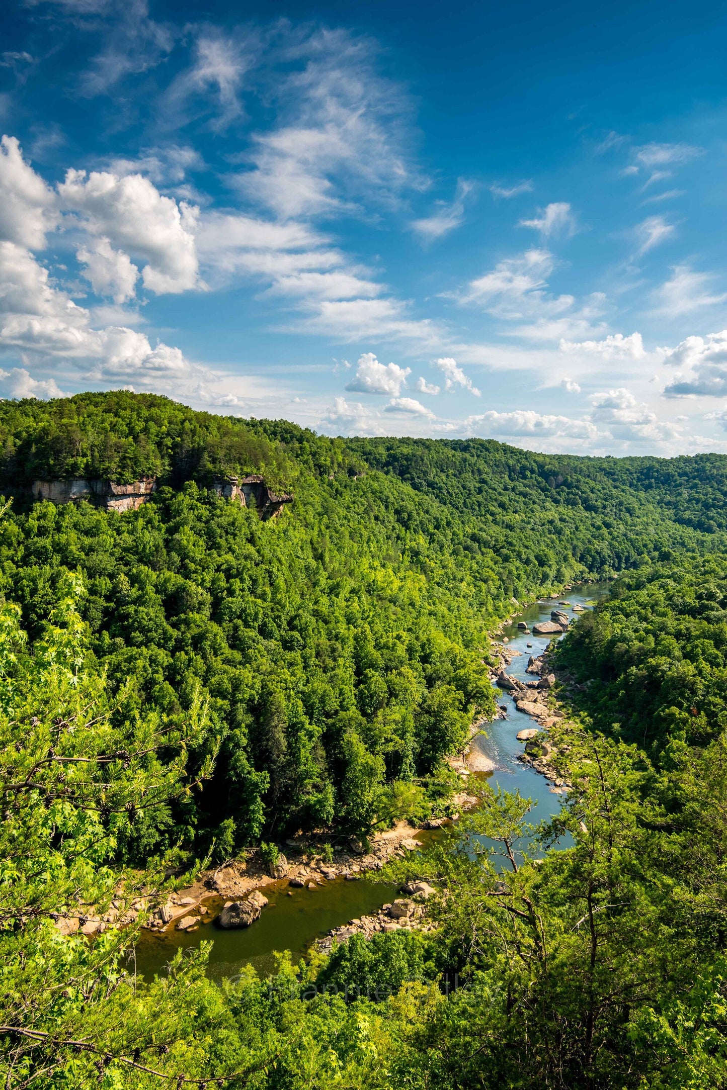
It should be noted that this reach (as listed here) has a fair stretch of mostly flatwater, but which contains a good (class III/IV) drop, Devils Jump. Photos of that drop do exist on the photo tab.
John Foy contributed:
_Great canoe camping river. Give yourself two days for Station Camp to Blue Heron, three for Station Camp to Yamacraw Bridge. Basically flatwater/lake beyond Yamacraw. Good fishing for smallmouth and catfish along the entire river. Be careful during rainy periods as this river rises very rapidly. I like it best between 100 and 500 cfs at Stearns._
A fine reference for this is Canoeing and Kayaking Guide to the Streams of Tennessee, B. Sehlinger
Rapids in this Run (2)
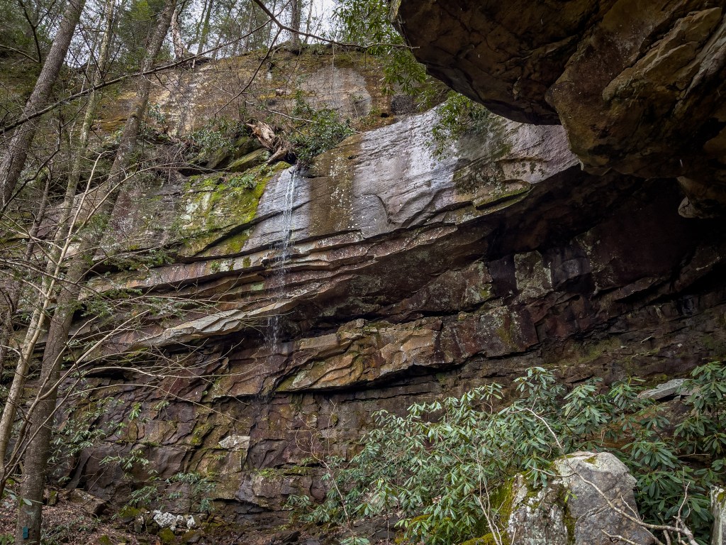
Waterfalls (1)
Hazards & Portages (1)
Caution: The following locations may require scouting or portaging. Always check current conditions.
Difficulty
Class II+(IV)
Length
60.1 mi
Gradient
5 ft/mi
Rapids
2
1 Hazard
Access Points
Difficulty Classes
I Easy
II Novice
III Intermediate
IV Advanced
V Expert/Extreme
VI Unrunnable
Current Conditions
5-Day Forecast
Whitewater data from
American Whitewater
American Whitewater