3- Thunder River Rd. (Wheatland #2) to Tunnel Rd. (Laramie Canyon)
No sufficiently local live gauge linked. 1 automated match was excluded because the closest is 40.3 miles away. Difficulty and route details are not current water conditions.
Run Map
Description
So if you have ever wondered how the folks in Wyoming put water in Bluegrass Creek, here is your answer.
They release water from Wheatland #2 (or Wheatland #3 in some situations) and let it flow down the Laramie River to a small lake. The tunnel for Bluegrass leaves that lake. However if you want to use that water for a paddle down the Laramie River instead of Bluegrass Creek you are in luck.
There are some good and bad options for access to this run. The best options are to cross private ranch land if the rqanchers let you. Otherwise you have some flat water at the top of the run..
The takeout is easy to reach. Drive up Tunnel Road from WY 34. Take a left about 5 yards after crossing the first small stream (Laramie River post diversion). Take your next left and then work your way uphill (like your headed to Bluegrass). However once your past the cattle guard go right and drive back down to the lake with the diversion. Drive as far up the lake shore as you can get and leave a car for the takeout.
The put in is a bit of an adventure. Go back to Tunnel Road drive till its ends and go left. Take this road for about 5+ miles and you will see a left immediately after a cattle guard. (If you see signs for Wheatland #3 you went to far). Go left and drive about 3 miles. Thunder River Rd (Laramie River Ranches) is on your left turn here if you go further the road turns private and is posted. Once on Thunder River Rd. you will cross the Laramie River (this is an access point but not a good one). The best option is the keep driving and take both left turns when the road forks. Eventually the road will end on an odd cul-de-sac or turn around in the middle of the sagebrush desert. Hike down to the river from here. The map shows this as state land BTW and you can bypass the fences if you follow them to the right.
There are BETTER access points downstream for both the put in and takeout. These are on private land and you would have to negotiate access. One of the ranches is a dude ranch and thus might be quite favorable to paying boater customers.
Read the individual rapid descriptions.
The Laramie is a long trip but it hold water late in the season with flows in August and September.
The first 4 miles are mostly flat. The only excitement are some weirs and 2 small wire fences that can be paddled over.
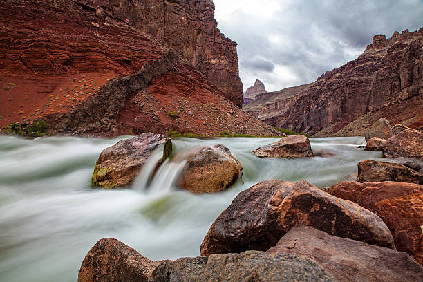
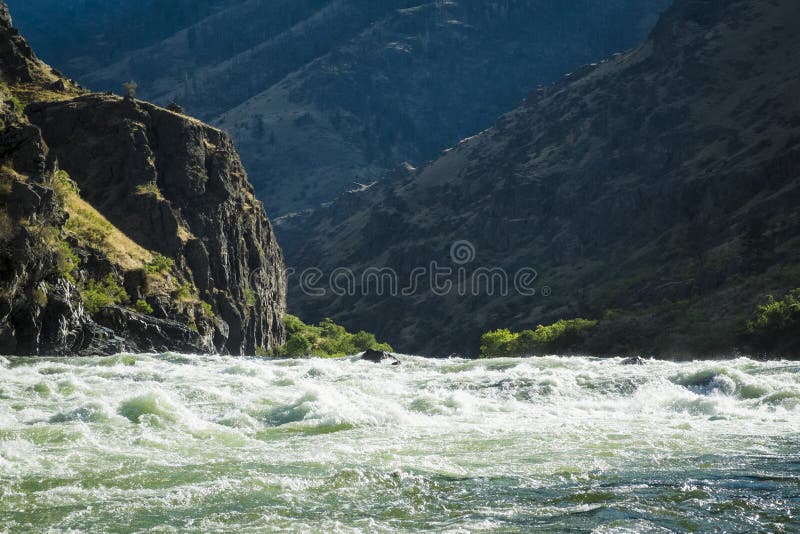
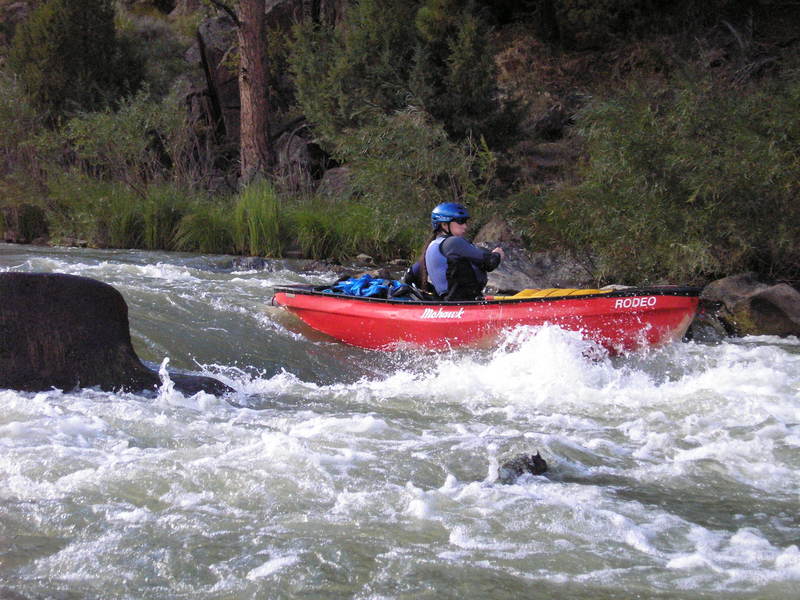
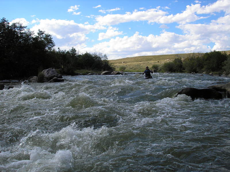
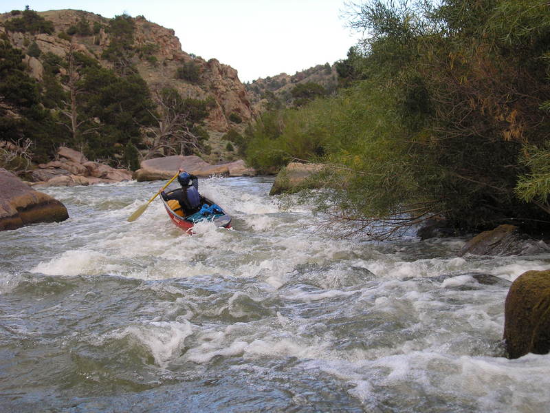
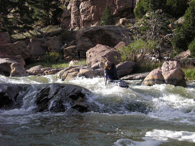
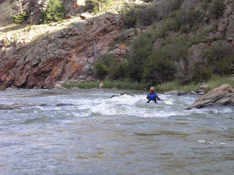
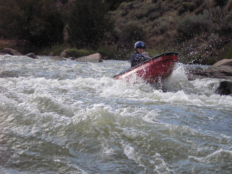
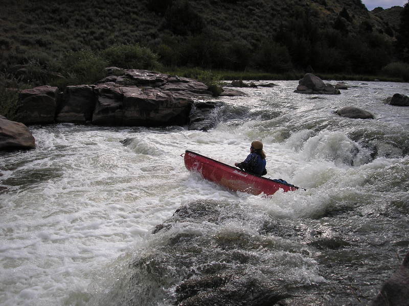
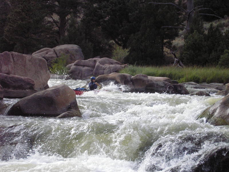
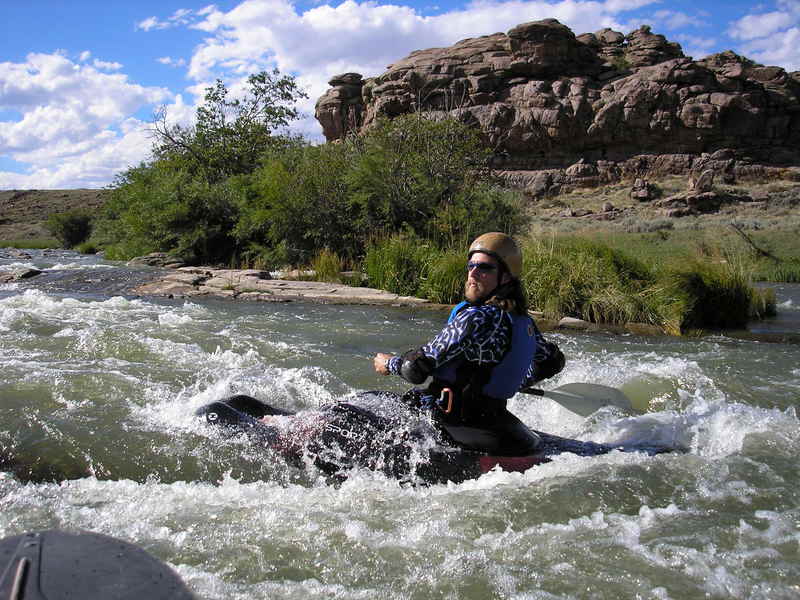
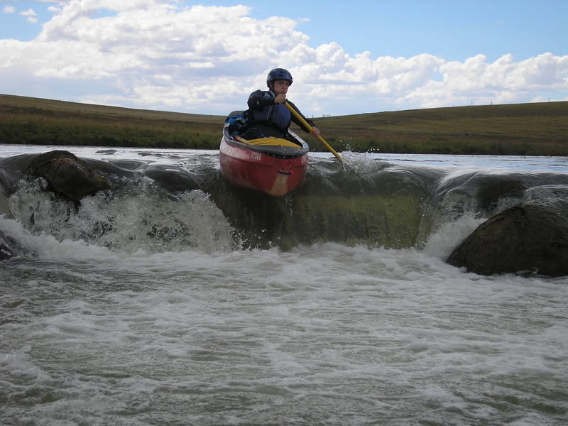
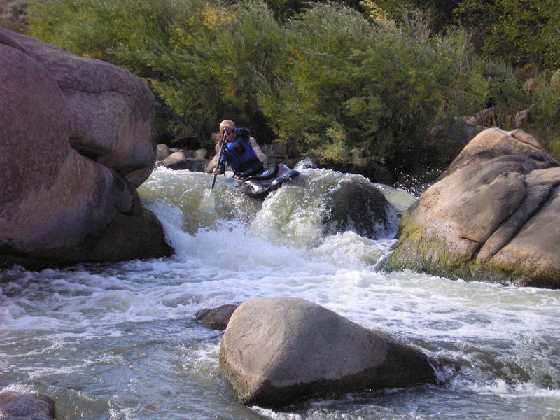
After mile 4.5 the river leaves the pastoral area and enters a canyon. The first canyon is very scenic but not too difficult. Most rapids are class II with a few surfing spots. The great scenery and remote canyon might make for a good camping spot.
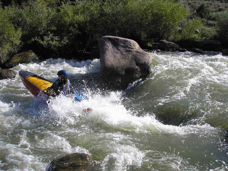
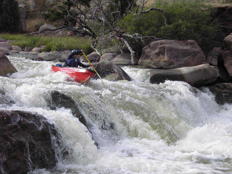
After the nice warm up the river makes a hard turn and starts to drop over 120 ft/mile. This section is remote and full of class III-IV rapids. Don't run this unless your willing to walk them or a good boater. The river has two small waterfalls. Once your done with the big stuff you have another scenic class II-III paddle out.
There is one barbed wire fence just above the takeout as the river enters the lake. Carry around it.
All things considered you can't beat this run for water flows late in the year. However be warned the river is a long one and your probably only going to run it a few times a year.
The run can get abusive; if you run it at flows less than 300 cfs it will be painful for you and your boat.
Rapids in this Run (13)


Playspots (1)
Hazards & Portages (4)
Caution: The following locations may require scouting or portaging. Always check current conditions.

Difficulty
Class I-IV
Length
13.6 mi
Gradient
42 ft/mi
max 120
Rapids
13
4 Hazards
Access Points
Difficulty Classes
I Easy
II Novice
III Intermediate
IV Advanced
V Expert/Extreme
VI Unrunnable
Current Conditions
5-Day Forecast
Whitewater data from
American Whitewater
American Whitewater