3. Varilla to Fourmile
Gauge Conditions
Runnable: ? – ? CFS
Approximate reading: This gauge is 4.7 miles away on Cumberland. Use as a general reference only.
Data from American Whitewater & USGS
Run Map
Run Time Estimate
Select put-in and take-out to estimate time.
Plan This Trip
See wind-adjusted speed maps, forecast planning, and detailed time estimates.
Sign in to generate an AI timing estimate for this run.
Whitewater timing varies with scouting, portages, and group pace. Use as a planning baseline.
Description
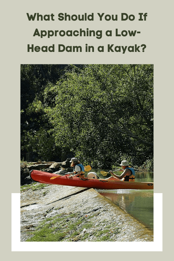
Mainly flat scenic 13 mile run passing through the largest natural break in Pine Mountain. Good for sight seeing, fishing, and the occasional splash through the Narrows. Recommended portage .3 Miles before takeout to avoid low-head dam at Kentucky Utilities station.
Hazards & Portages (1)
Caution: The following locations may require scouting or portaging. Always check current conditions.
Difficulty
Class I-II
Length
15.0 mi
Rapids
0
1 Hazard
Access Points
Difficulty Classes
I Easy
II Novice
III Intermediate
IV Advanced
V Expert/Extreme
VI Unrunnable
Current Conditions
5-Day Forecast
Whitewater data from
American Whitewater
American Whitewater