4. Cottonwood to Columbia River
Gauge Conditions
Runnable: 700.0 – 6,000.0 CFS
Data from American Whitewater & USGS
Run Map
Run Time Estimate
Select put-in and take-out to estimate time.
Plan This Trip
See wind-adjusted speed maps, forecast planning, and detailed time estimates.
Sign in to generate an AI timing estimate for this run.
Whitewater timing varies with scouting, portages, and group pace. Use as a planning baseline.
Description
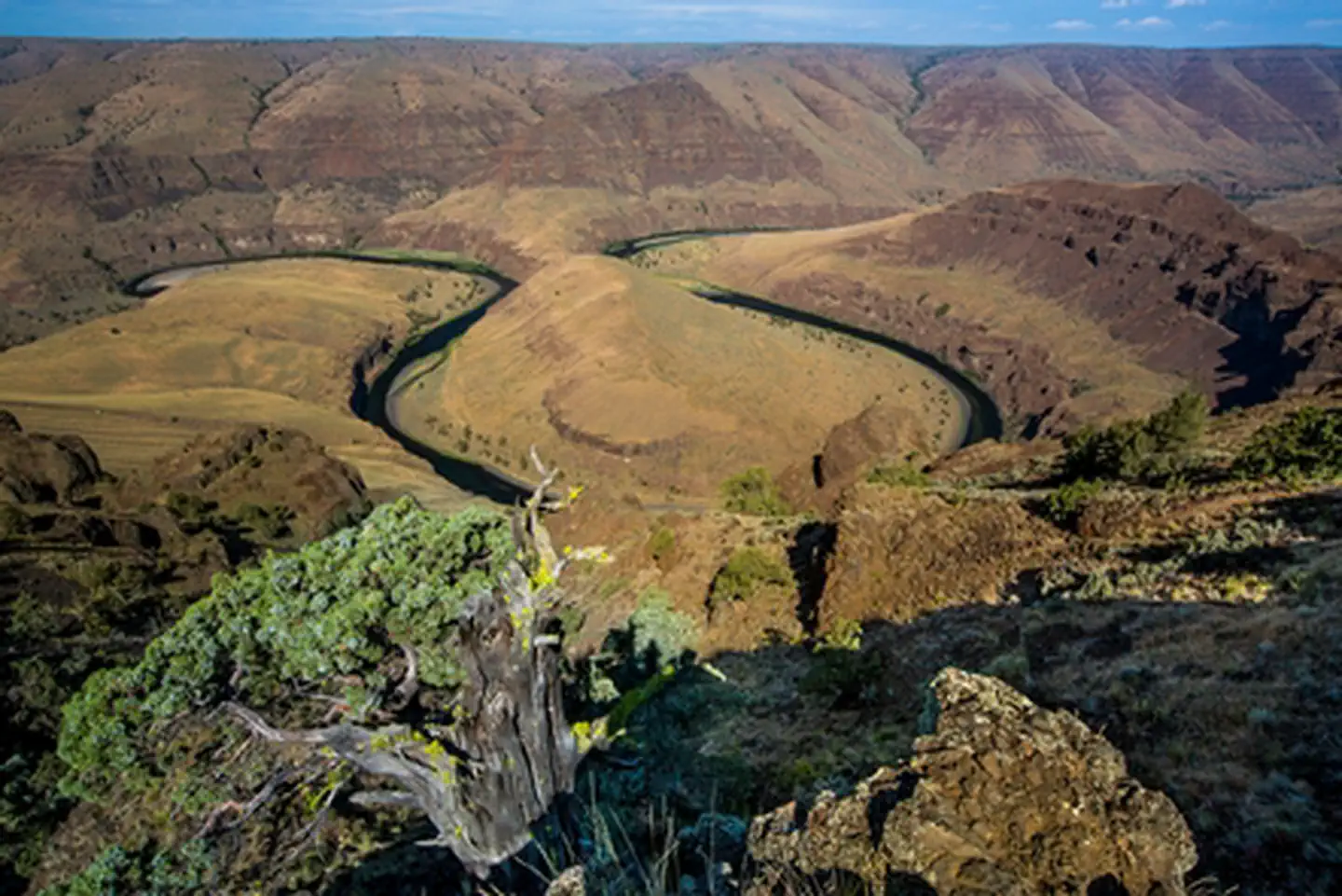
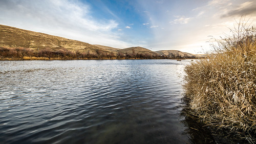
Below Cottonwood Canyon State Park the river wanders through agricultural land and pretty vistas. Use is light in this area with most boaters day fishing from Cottonwood to Starvation Lane. Limited dispersed camping is available.
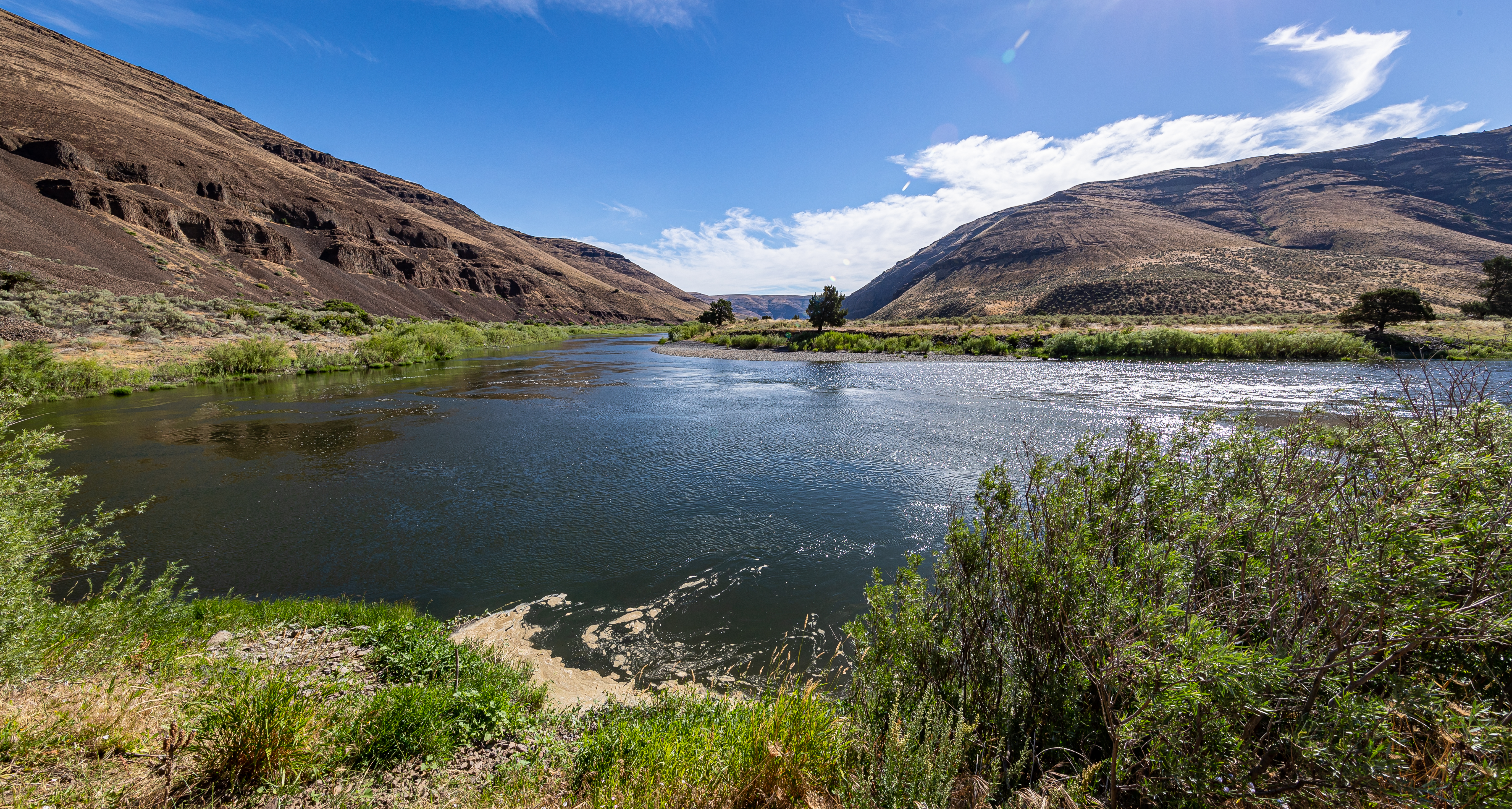
The last public takeout on the John Day River is at McDonal's Crossing. There is public parking and a bathroom on river right at John Day Crossing about a mile downstream of where the county road reaches the John Day River on the East side, which is usually the easiest spot to take out a boat. Rock Creek (river right) is also an option to take out if you can hand carry your boat. Make sure you scout your takeout to see what is accessible at the flows you have, and bring an atlas as google maps may lead you astray. Also, check with your shuttle company to make sure you know which side of the river your vehicle will be parked on!
Keep in mind that starvation Lane boat ramp becomes hazardous at higher flows and is challenging at low flows. Check with the State Park for current conditions.
If you want to run the John Day all the way to the Columbia beware of the class V Narrows that starts with Tumwater Falls and ends with the flatwater of the Umatilla Reservoir on the Columbia. Permit regulations stop where the John Day Wild and Scenic River desgination ends at Tumwater Falls.
Regs/Permits/Etc.: The BLM requires an online permit year round, a river toilet for overnight trips, and a fire pan for having fires outside the annual fire ban season. Visit Recreation.gov for day use permits and overnight permits. For further regulations and information visit the John Day BLM website.
Rapids in this Run (3)
Difficulty
Class II(V)
Length
39.5 mi
Gradient
7 ft/mi
Rapids
3
Access Points
Difficulty Classes
I Easy
II Novice
III Intermediate
IV Advanced
V Expert/Extreme
VI Unrunnable
Permit Required
Online permit required year-round from Cottonwood to McDonald's Crossing
Get Permit
Current Conditions
5-Day Forecast
Whitewater data from
American Whitewater
American Whitewater