4. Idleyld Park to confluence with S. Umpqua Recreational
Gauge Conditions
Runnable: 1,000.0 – 100,000.0 CFS
Data from American Whitewater & USGS
Run Map
Put-in
Take-out
Rapids/Hazards
Recreational
Run Time Estimate
Select put-in and take-out to estimate time.
Plan This Trip
See wind-adjusted speed maps, forecast planning, and detailed time estimates.
Sign in to generate an AI timing estimate for this run.
Whitewater timing varies with scouting, portages, and group pace. Use as a planning baseline.
Description
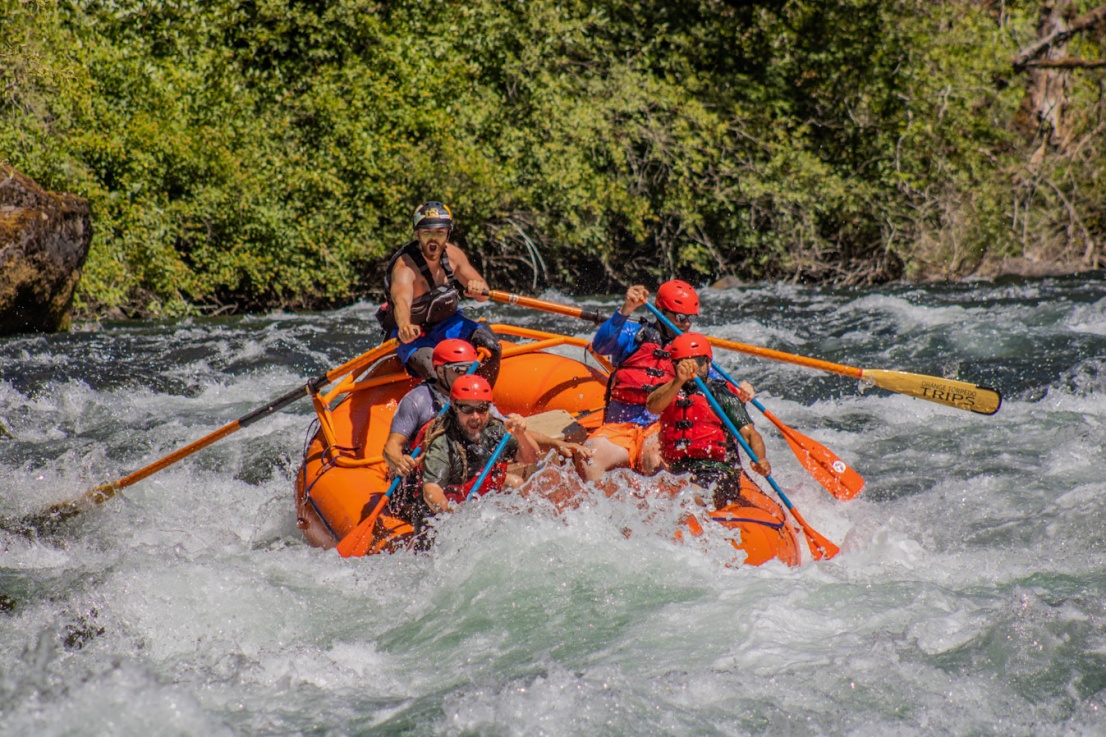
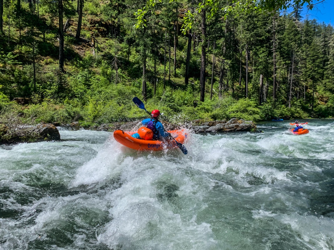
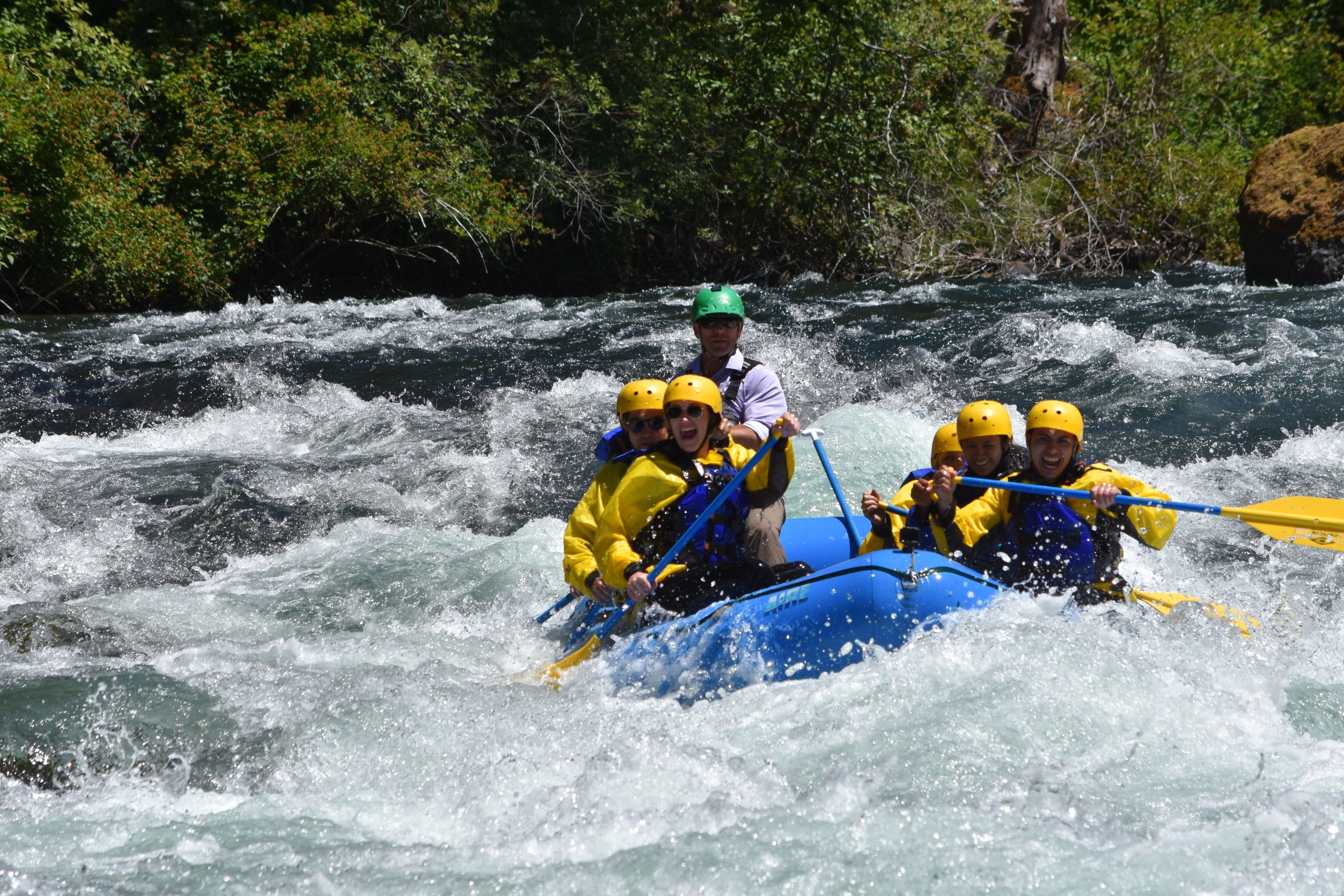
This is a great section for open canoeists, beginner kayakers/rafters, and drift boats. The river maintains gradient of about 11 fpm providing lots of class II and a few class IIIs for novice boaters. The river flows by grassy green hills with oak forests interspersed by farms, ranches, and private homes.
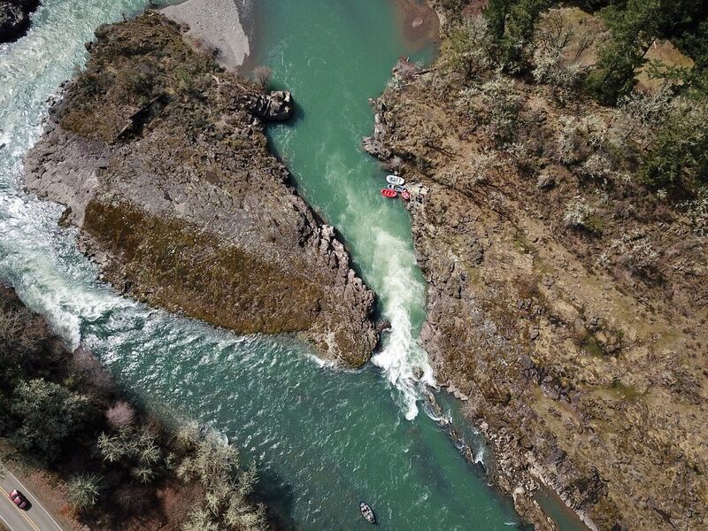
Approximately 2 miles downstream of Idleyld Park, Lone Rock Park near Glide, OR has a boat slide along Lone Park Road on the south side of the river. Drift boats use the steep ramp and the small dirt parking area here. A few miles downstream from here is Colliding Rivers, the most interesting rapid on the run. Two channels provide options with the left channel being visible from the National Forest turnout in Glide. Drift boats and novice paddlers prefer the left channel to the steeper drop on the right.
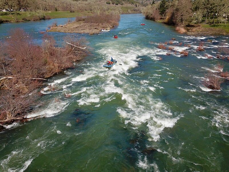
More class II continues interspersed by sections of calm water until Whistlers Bend. Here the river turns north into a class III set of standing waves at higher flows and a more technical rapid at lower flows. As the river comes back around the bend to the south, Whistlers Bend County Park provides an option to camp (sites 9 and 11 are next to the river) and make an overnight trip on this section
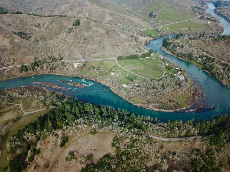
The next class III is Dixon Falls on the right side of an island about 4 miles downstream from Whistlers Bend. At higher flows around 5000cfs a large wave hole forms with a straightforward line down the channel. Beyond Dixon Falls paddlers encounter fewer private homes and the river has a bit more of a wilderness feel. Class II continues to the river left take-out about 1 mile before the town of Winchester, OR. Be sure to find the small dirt ramp access site beforehand as downstream lies the Winchester Dam and fish ladder which is a hazard to navigation.
Below the dam access is available at John P Amacher Park. From this point the river continues for 6.6 miles of class II to the confluence with the South Umpqua.
While this section can be run very high in the spring, at flows above 3000-4000 cfs, the current becomes stronger and eddies less frequent, making it less ideal for beginner kayakers while still a nice float trip for rafts.
Rapids in this Run (8)
Hazards & Portages (1)
Caution: The following locations may require scouting or portaging. Always check current conditions.
Difficulty
Class II(III)
Length
32.0 mi
Gradient
10 ft/mi
Rapids
8
1 Hazard
Access Points
Difficulty Classes
I Easy
II Novice
III Intermediate
IV Advanced
V Expert/Extreme
VI Unrunnable
Current Conditions
5-Day Forecast
Whitewater data from
American Whitewater
American Whitewater