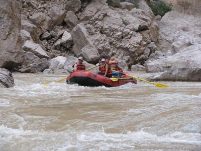
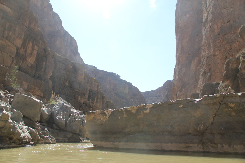
4. Mariscal Canyon: Talley to Solis Landing (10 miles)
Gauge Conditions
Runnable: 200.0 – 5,000.0 CFS
Low, but boatable.
Data from American Whitewater & USGS
Run Map
Run Time Estimate
Select put-in and take-out to estimate time.
Plan This Trip
See wind-adjusted speed maps, forecast planning, and detailed time estimates.
Sign in to generate an AI timing estimate for this run.
Whitewater timing varies with scouting, portages, and group pace. Use as a planning baseline.
Description
Typical 3 day trip due to long shuttle. Lowest recommended 200 cfs -- Can be run in a raft even at low water levels (I ran it in a big fat gear boat at 140 cfs last year although I would not recommend it to anyone).
Solis River Access (take-out) is a long dirt road from the pavement, requiring 4 wheel drive.
See also Big Bend National Park and their descriptive site, Floating the Rio.
See also the descriptions in Southwest Paddler.
Put-in is approximately 1900' elevation.
Take-out is approximately 1880' elevation.
Therefore total elevation change is approximately 120'.
Rapids in this Run (3)
Difficulty
Class II
Length
10.2 mi
Gradient
12 ft/mi
Rapids
3
Access Points
Difficulty Classes
I Easy
II Novice
III Intermediate
IV Advanced
V Expert/Extreme
VI Unrunnable
Current Conditions
5-Day Forecast
Whitewater data from
American Whitewater
American Whitewater