4) Markleton to Harnedsville
Gauge Conditions
Data from American Whitewater & USGS
Run Map
Run Time Estimate
Select put-in and take-out to estimate time.
Plan This Trip
See wind-adjusted speed maps, forecast planning, and detailed time estimates.
Sign in to generate an AI timing estimate for this run.
Whitewater timing varies with scouting, portages, and group pace. Use as a planning baseline.
Description
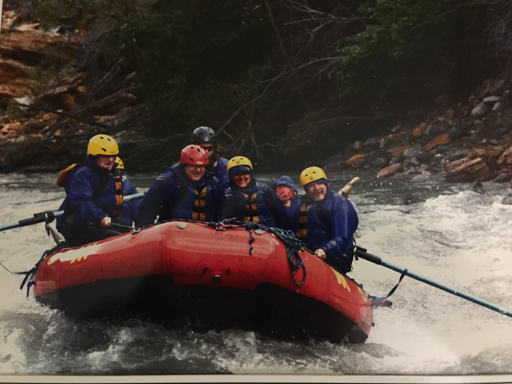
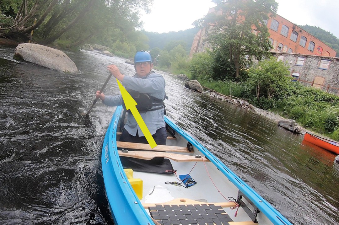
This intermediate run is a stone's throw from the Lower Yough and is often runnable in the winter/spring when the Yough is too high for an intermediate paddler's taste. Depending upon levels, the flow is fast and mostly Class II in difficulty with some rapids approaching Class III starting in the 3-4 foot range and higher. The river is also fairly open, but one can find plenty of slalom play and good surfing throughout the run at medium levels.
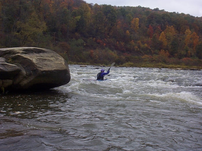
Just below the Markleton, PA put-in there are a series of small ledges that can be surfed. A little ways down, not long into the run, the river makes a bend to the left. In this bend, is a large munchy hole --called 'Terminator Hole' (Class III-) in the center and center right of the river. The hole is easily avoidable on the left and at most levels there is a more difficult line to the far right. The river continues with a few open Class II rapids.
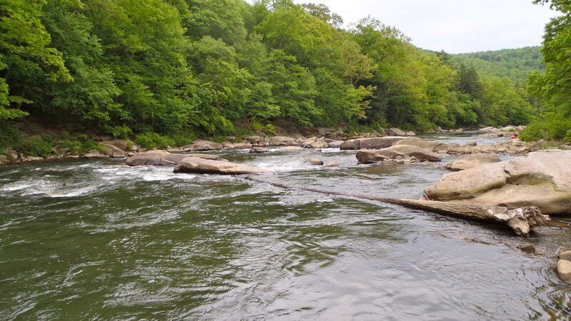
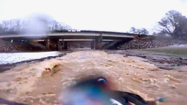
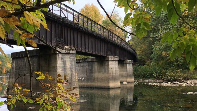
After a while, the river turns to the left at a huge railroad cut. At low water levels, the river shoals out in the turn and the line is to stay far left -- just left of a small rocky/gravely island. At higher water levels, you can run it anywhere and the island becomes a pour-over to be avoided. The river comes together below the little island and forms a nice surfing wave against a large rock formation ('Lunch Rock') on river right with the old railroad (bike trail) bridge immediately below. Depending upon your timing, this is a potential lunch spot -- river right.
The river continues at Class II until you come to a somewhat blind turn through some rocks, which creates a rapid called 'Pinkerton Mixmaster'. At lower and moderate water levels, there are slots center and left that can be run and sometimes a shoaly slot on the right, as well (usually Class II+ to Class III-). Above 4' the slots in the center and left are solid class IIIs, and the right slot becomes a sneak route.
A little below 'Pinkerton Mixmaster' there is a rock that looks a little like a turtle shell that sits on the river right end of a ledge running out from the river left shore. This rapid, called 'Turtle Claw' has a center right tongue past this ledge and the cautious paddler should stay on the right side of this tongue because there are two offset rocks just beneath the surface on the left side of the tongue that can cause problems. Which is not to say that an aggressive paddler wouldn't be able to boof the turtle shell rock into the eddy behind the ledge, but if the boof is sloppy or missed the downstream rocks can come into play with flipping potential. At certain water levels the usually hidden rocks can become a rooster tail.
The river continues with more open Class II rapids. When you can see the second old railroad (bike trail) bridge, start moving to river left. Enter the next rapid on the left, but move to the center as the tongue picks up speed to avoid a large hole and one or two smaller ones (depending upon the level -- all of which are usually surfable) on far river left.
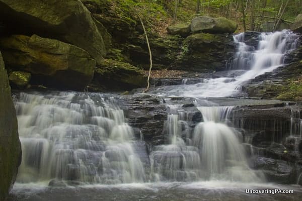
Right below the second railroad bridge, the river turns left and there is a large eddy and small beach on river left which is a second good lunch spot. Often, there are some nice surfing waves on river right at this location as well. Below this the river continues with some nice open Class II rapids. After a while, you'll see a waterfall (Lost Run, I believe) on river left. About 100 yards downstream is another rapid, also called 'Lost Run' (Class III) because of it's proximity to the waterfall. The rapid can be run center or right, but requires hole punching, eddy catching, and maneuvering either way.
The next rapid is on a sweeping left turn and starts with a river wide shoal that can be snuck on a left to center move at low water. As the rapid gathers speed, there are a series of diagonal waves that can be punched or surfed on the fly (no staging eddies).
An overall description of the Markleton to Ft. Hill reach of the Casselman River is that at 2.5' to 3.8', there are very few slow spots, and the rapids, while not particularly difficult, occur with sufficient frequency that you can’t just relax because there’s another one around the corner. Best of all, at these levels, nearly every rapid has multiple lines, so you can really work the river side to side and not regret which line you chose. Above 3.8 the usual features begin to wash out, opening the channel, but with pourovers, big holes, and squirrely eddies and boils.
When you begin to see houses on river left, you know you're almost to the Fort Hill bridge. The usual take-out is the Fort Hill Bridge (river right, just upstream of the bridge). If you choose to float the additional distance to Harnedsville, there is a class II rapid just below the bridge, a few additional class II and class II- rapids for the next three miles, culminating in a Class II+ rapid at a waterfall on a creek coming in from river left. The last 1.7 miles to the Listonburg road bridge (PA 523) in Harnedsville consists of flat and moving water around Class I gravel bars and a few islands.
Put-in/Take-outs All the roads are accessible from PA 281 and/or PA 523.
Markleton put-in: The put-in is in Markleton, PA on the river right side upstream from the bridge on the river side from the railroad tracks. There is a nice park on river left downstream from the bridge, which would appear to be a good put-in, but from time to time, someone from the PA Fish & Boat Commission appears to harangue boaters about the PA Fish & Boat Commission sticker ($18.00 fee for 2 years \[apparently required at all public PA river accesses, but which only comes up at the Markleton river access\]) and threaten a $150.00 fine as a penalty for not having the sticker on the boat. However, (after unloading boats on river right upstream of the bridge) It's not a bad idea to leave cars at the river left downstream from bridge park, so that the parked cars do not come to the attention of the railroad.
An alternative is to drive up to the little town of Casselman three miles upstream for a put-in, but you'd have to make friends with one of the riverside property owners there.
Fort Hill Take-out -- Fort Hill Road off 281, pull off into the park on the left (extra parking for large groups is up the hill on the river left side at the first switchback).
Harnedsville Take-out -- Take PA 523 (Listonburg Rd.) which runs from US 40 to PA 281 at Confluence, PA. Continue until the Casselman river bridge on PA 523. On the upstream river left side of the bridge there is a small road that parallels the river on which parking can be found. Or you could park on the river right side of the old railroad (now bike trail) bridge off of Hogback Rd. 0.4 miles upstream from the PA 523 bridge.
Markleton to Ft. Hill is 6.050 miles Ft. Hill to Harnedsville to 5.759 miles.
Markelton Correlations: 2.2 ' = 594 cfs; 2.5' = 757 cfs; 2.75' = 1000 cfs; 3.0' = 1,200 cfs; 3.65' = 1,850 cfs; 3.8' = 2,000 cfs; 4.2' = 2,610 cfs
Rapids in this Run (9)
Waterfalls (1)
Playspots (2)
Hazards & Portages (1)
Caution: The following locations may require scouting or portaging. Always check current conditions.
Difficulty
Class II-III
Length
11.0 mi
Gradient
40 ft/mi
Rapids
9
1 Hazard
Access Points
Difficulty Classes
I Easy
II Novice
III Intermediate
IV Advanced
V Expert/Extreme
VI Unrunnable
Current Conditions
5-Day Forecast
Whitewater data from
American Whitewater
American Whitewater