4. Mayberry Park to Cottonwood Park (Downtown Reno)
Gauge Conditions
Runnable: 700.0 – 3,000.0 CFS
Data from American Whitewater & USGS
Run Map
Run Time Estimate
Select put-in and take-out to estimate time.
Plan This Trip
See wind-adjusted speed maps, forecast planning, and detailed time estimates.
Sign in to generate an AI timing estimate for this run.
Whitewater timing varies with scouting, portages, and group pace. Use as a planning baseline.
Description
This is the run that flows through downtown Reno and although the most well known section is the Reno Whitewater Park at Wingfield, there's more river to enjoy both upstream and downstream of the park. The river is in the midst of a major transformation from and there are additional plans for recreational enhancements some of which are described in the Truckee River Recreation Plan. City parks along the length of the run provide several options for access and allow you to customize your run.
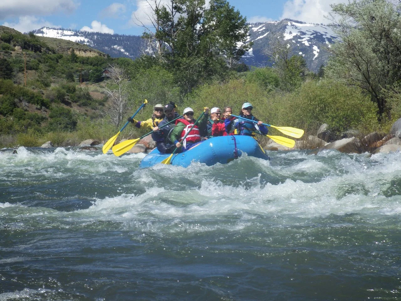
Kayakers and canoeists hit the river during the spring runoff when the river is characterized by a long series of class II rapids. The scenery reflects the urban landscape but in the evening it's not uncommon to see birds and wildlife along the river's edge.
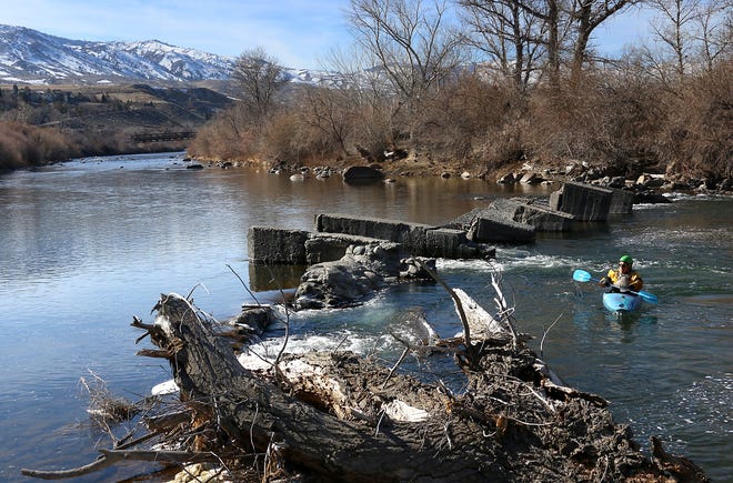
Mayberry Park is out at the west end of town near the warehouse district and as you continue downstream the shoreline alternates between undeveloped banks and trophy homes. Interspersed between the homes and apartment building are a number of community parks that provide river access. Folks fishing and children jumping off rope swings are found around nearly every bend on a Saturday afternoon. Beware of the Chalk Bluff Diversion Dam 2 miles downstream of Mayberry Park. It is marked by a sign across from the Orr Ditch Diversion but the dam itself is not for another half-mile beyond the rapids. Be prepared to portage on the left and if you want to avoid it you can use the access at Crissy Coughlin Park 0.7 miles downstream of the dam.
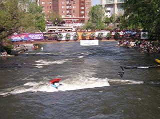
As you hit the downtown corridor, cottonwood and willow give way to concrete although recent work along the river has created a much more inviting shoreline trading in much of the concrete walls for landscaped rocks. The result is an inviting and accessible shoreline that has become a real community asset. Folks who step out of the casinos watch the show from the bridges and as flows drop in summer the tubers are out in force. The Reno Whitewater Park is here (5.5 miles downstream from Mayberry Park) and it's easy to spend the whole day just at this spot which provides several good options for river access.
Continuing on the scene slowly becomes industrial, although curtains of vegetation clinging to steep banks provide habitat for beavers and ducks. Cormorants stand on boulders scattered throughout the waterway. After a three or four hours of leisurely paddling, there's the stretch past U.S. 395 where impenetrable thickets of trees, willows and olive bushes seal off the outside world. Turn around and Peavine Peak stands on the peaceful horizon. Then a Boeing 737 roars overhead, just hundreds of feet above as it swoops into nearby Reno-Tahoe International Airport. Beware of additional diversion dams and debris on this stretch that you may need to portage.
Take out at Cottonwood Park (10.8 miles downstream from Mayberry Park) where you will once again find yourself in a warehouse district.
Logistics
To get to Mayberry Park from Reno, take Fourth Street west across McCarran Boulevard. Turn left on Woodland Avenue at brown sign for Mayberry Park. Continue straight to park. To get to Cottonwood Park from Reno, take Greg Street east past McCarran Boulevard. Turn right at Spice Island Drive. Continue for about 0.6 miles, park on right.
Additional Information
The Truckee Meadows Water Authority publishes a river recreation map. Download the pdf from the map link to the right or you can pick one up at their offices in town. Call 775-834-8000 or visit the office at 1155 Corporate Blvd. in Reno.
Additional Sections
1. Alpine Meadows Road to Floriston (27 miles)
2. Floriston (or Farad) to Verdi, NV (9.8 miles)
3. Verdi to Mayberry Park (8 miles)
4. Mayberry Park to Cottonwood Park (10 miles) see also Reno Whitewater Park at Wingfield
5. Cottonwood Park to Pyramid Lake
Rapids in this Run (2)
Hazards & Portages (2)
Caution: The following locations may require scouting or portaging. Always check current conditions.
Difficulty
Class I-III
Length
10.0 mi
Rapids
2
2 Hazards
Access Points
Difficulty Classes
I Easy
II Novice
III Intermediate
IV Advanced
V Expert/Extreme
VI Unrunnable
Current Conditions
5-Day Forecast
Whitewater data from
American Whitewater
American Whitewater