4. Moccasin Creek to West Glacier
Gauge Conditions
Runnable: 1,000.0 – 8,000.0 CFS
Data from American Whitewater & USGS
Run Map
Run Time Estimate
Select put-in and take-out to estimate time.
Plan This Trip
See wind-adjusted speed maps, forecast planning, and detailed time estimates.
Sign in to generate an AI timing estimate for this run.
Whitewater timing varies with scouting, portages, and group pace. Use as a planning baseline.
Description
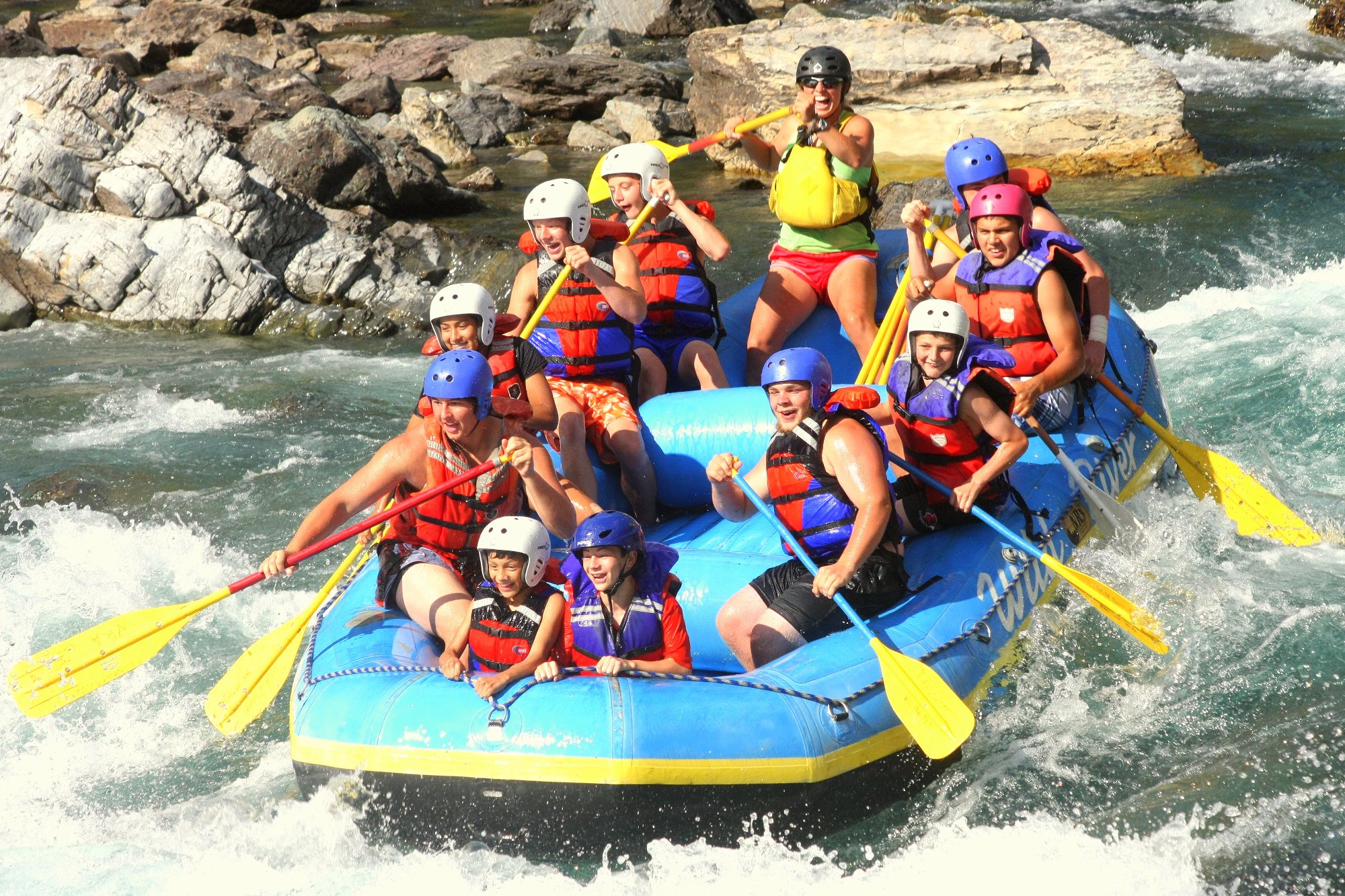
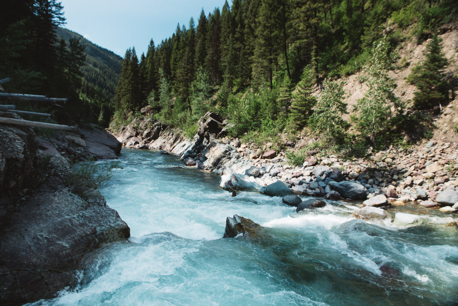
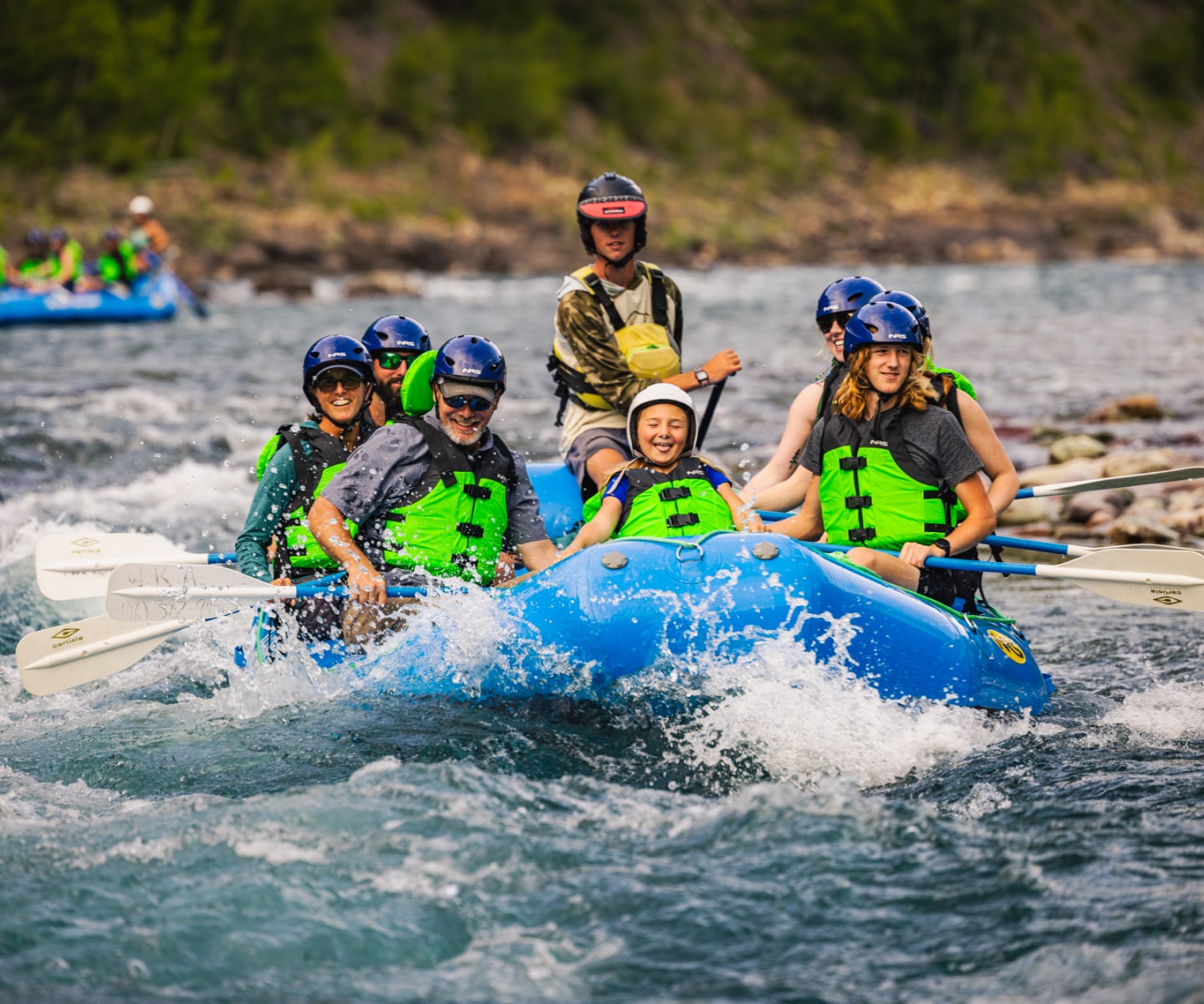
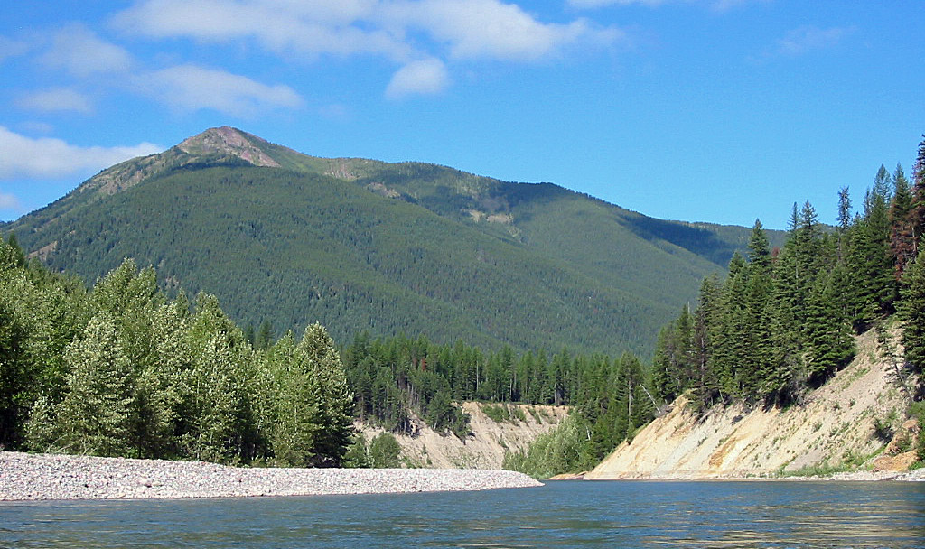
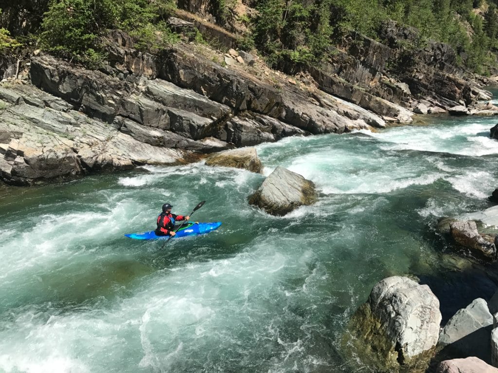
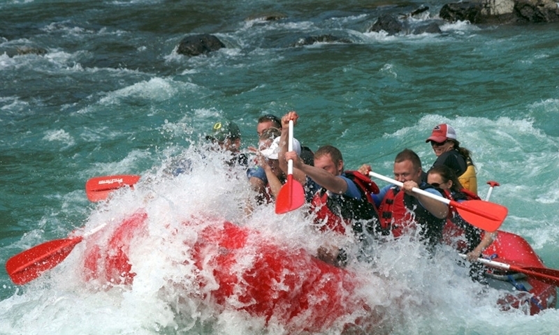
This section of the Wild and Scenic Middle Fork of the Flathead River offers a long season, moderate whitewater, and very scenic surroundings. Paddlers can run it from spring through fall, but conditions vary with flow. Those seeking a more challenging experience may find May and June high flows ideal, while those preferring a less demanding run may wish to avoid the spring snowmelt. The river corridor is framed by Glacier National Park on river right and the Flathead National Forest on river left, providing scenic forested and mountain views, though it is not true wilderness, with a railroad running along much of the river-left bank. Outfitters offer raft trips out of West Glacier, and this reach is the most popular day trip on the Middle Fork Flathead.
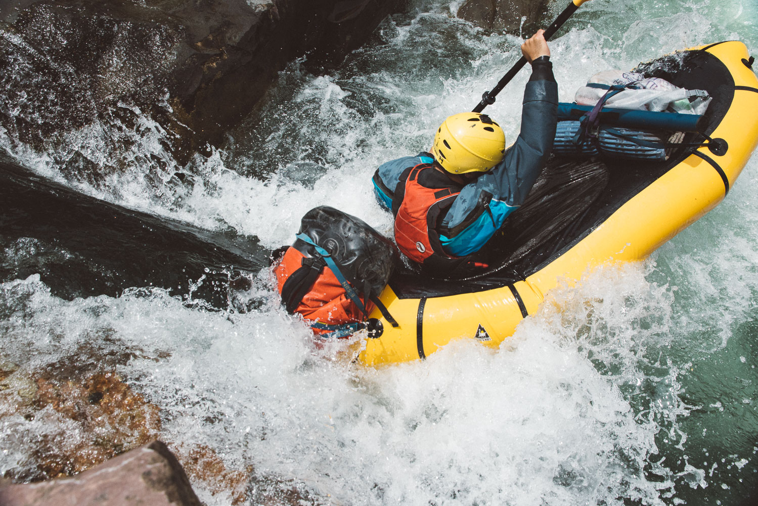
Named rapids on this section, in order, are Tunnel, Bonecrusher, Washboard, Big Squeeze, Jaws, Pinball, Repeater, The Notch, and Pumphouse. Boaters can expect swirly eddies, fun surf waves, and good recovery pools between rapids at medium flows. The combination of continuous moderate whitewater and varied features gives this section a dynamic character suited to intermediate paddlers.
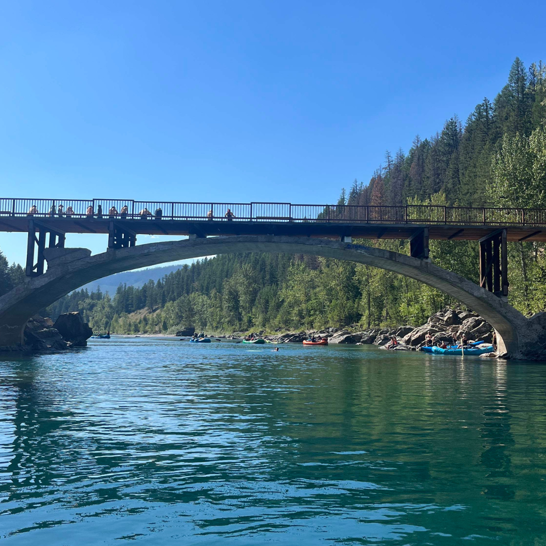
The put-in is at the well-signed Moccasin Creek access area along Highway 2. West Glacier offers a couple of take-out options: hand-carry craft can exit at the historic Belton Bridge via a short but steep trail, while the formal take-out used by rafts and outfitters lies downstream on river left, with a large parking area and facilities. Boaters seeking solitude and riverside camping will find other reaches of the Middle Fork more appealing, but for a great whitewater day trip, this is the most popular section.
As always, please clean, drain, and dry boats before launching on the Middle Fork to protect its outstanding water quality from aquatic invasive species.
Paddlers Preventing Aquatic Invasive Species from American Whitewater on Vimeo.


Difficulty
Class III+
Length
8.9 mi
Gradient
18 ft/mi
Rapids
12
Access Points
Difficulty Classes
I Easy
II Novice
III Intermediate
IV Advanced
V Expert/Extreme
VI Unrunnable
Permit Required
No Permit Required
Current Conditions
5-Day Forecast
Whitewater data from
American Whitewater
American Whitewater