4. Powerhouse to the Hudson
Gauge Conditions
Runnable: 1,001.0 – 5,000.0 CFS
Estimated. No known upper limit.
Data from American Whitewater & USGS
Run Map
Run Time Estimate
Select put-in and take-out to estimate time.
Plan This Trip
See wind-adjusted speed maps, forecast planning, and detailed time estimates.
Sign in to generate an AI timing estimate for this run.
Whitewater timing varies with scouting, portages, and group pace. Use as a planning baseline.
Description
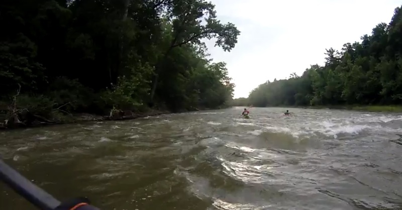
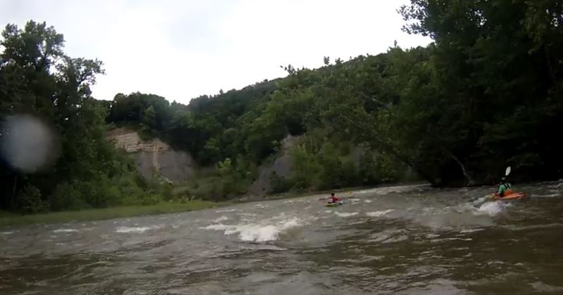
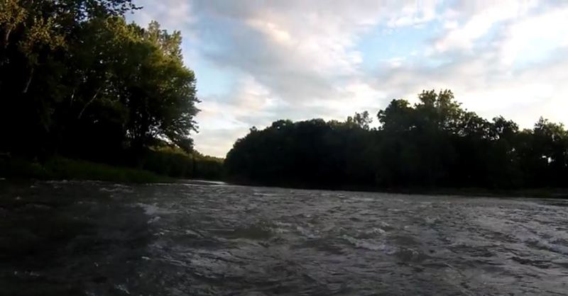
This stretch of river begins just below the Hoosic Gorge section and can be combined with that run to make a longer paddle if desired. However, this run is extremely mild compared to the class III-V gorge and isn't much fun in a playboat. Compared to the sections above, this is a very calm paddle, mostly flat water with short sections of riffles. At higher water you will encounter some class II rapids and one rock garden at the confluence with the Hudson. As with any water, at extreme or flood levels all bets about difficulty level go out the window, so always observe the conditions at the put-in.
Put-in as at the take-out for the Gorge, the powerhouse. The road is narrow and rugged and passes over a one-lane bridge. Some homeowners have been known to object to paddlers driving down "their road" but recreational access to this area is part of the agreement between Schaghticoke, Brookfield Renewable, and American Whitewater. There is parking at the powerhouse for only a few cars, so best to leave most vehicles at the takeout and shuttle to the top.
Takeout is usually at Lock 4 State Park, river right just as the Hoosic joins the Hudson. Make sure you double-check park hours before planning on using this location. If the park is closed (or will close by the time you reach it) there is an alternative take-out 1 mile down the Hudson again on river-right, but parking is limited and the bank is steep, so Lock 4 is preferred.
Rapids in this Run (3)
Difficulty
Class I-II
Length
5.0 mi
Rapids
3
Access Points
Difficulty Classes
I Easy
II Novice
III Intermediate
IV Advanced
V Expert/Extreme
VI Unrunnable
Current Conditions
5-Day Forecast
Whitewater data from
American Whitewater
American Whitewater