4. Route 49 to Englebright Reservoir
Gauge Conditions
Runnable: ? – ? CFS
Approximate reading: This gauge is 3.3 miles away on Yuba. Use as a general reference only.
Data from American Whitewater & USGS
Run Map
Interactive run map
Loads as you approach this section.
Description
2014 YUBA COUNTY WATER AGENCY WHITEWATER BOATING FLOW STUDY
River: Middle Yuba River
Reach of Interest: Highway 49 to Englebright Reservoir
Project: Yuba River Development Project (or YCWA)
Put-In: Highway 49 bridge (3 mi. north of the town of North San Juan)
Takeout(s): Option 1: Colgate Powerhouse (river right via town of Dobbins; Option 2: Rice’s Crossing (on river left via dirt road heading north at Bridgeport State Park)
Flow Gages: MYR above Our House; and MYR below Our House.
Additional reference: A GUIDE TO THE BEST WHITEWATER IN THE STATE OF CALIFORNIA, HOLBEK & STANLEY, 1988
Rapids in this Run (7)
Difficulty
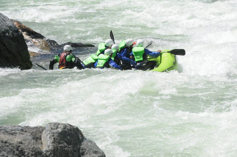
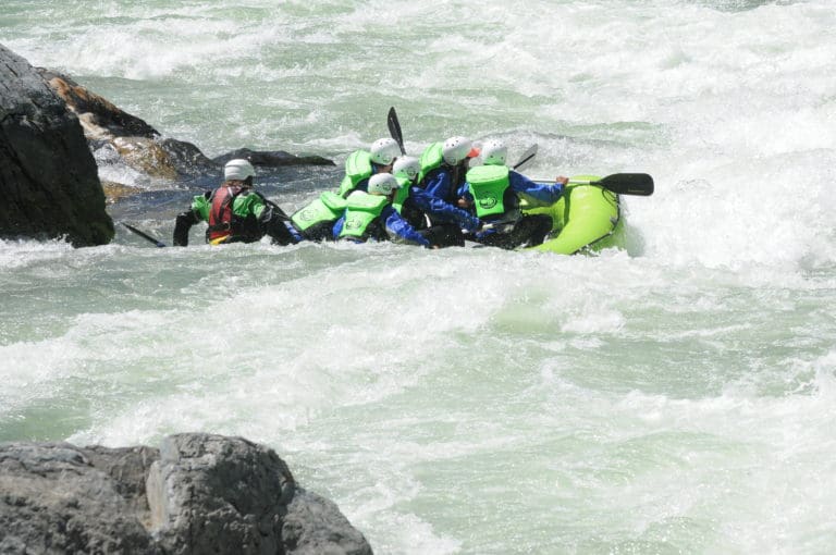
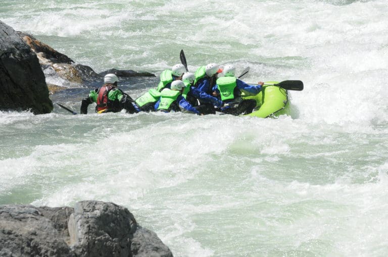
Class IV-V
Length
12.3 mi
Rapids
7
Access Points
Difficulty Classes
I Easy
II Novice
III Intermediate
IV Advanced
V Expert/Extreme
VI Unrunnable
Current Conditions
5-Day Forecast
Whitewater data from
American Whitewater
American Whitewater