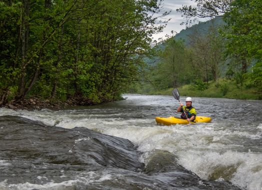
4. US 220 Bridge North of Upper Tract to Big Bend Campground
Gauge Conditions
Runnable: 2.5 – 5.5 FT
Data from American Whitewater & USGS
Run Map
Description
The easiest put-in is a 200 yards below the US 220 Bridge on river left at a river ford.
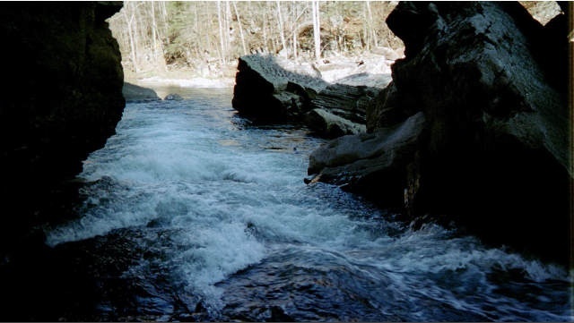
The first rapid as you enter a small box canyon is called Landslide and is more impressive looking then difficult. Boaters unfamiliar with this rapid should scout from river right. A river left boat scouting eddy comes and goes according to how severe the last high water affected it.
For boaters going to Big Bend there will be a portage at a low water bridge about 5 miles from the put-in.
A shorter trip can be made by taking out at 'Eagles Rock',a tall rock face pinnacle on River right.It will come into view once you leave the canyon and into flater water.A short acces road will be to your left with room to leave a vehicle.There is also a gated area but if you decide to use the field beyond it,please be mindful to chain the gate.
Rapids in this Run (1)
Hazards & Portages (1)
Caution: The following locations may require scouting or portaging. Always check current conditions.
Difficulty
Class I-III+
Length
10.0 mi
Gradient
25 ft/mi
max 40
Rapids
1
1 Hazard
Access Points
Difficulty Classes
I Easy
II Novice
III Intermediate
IV Advanced
V Expert/Extreme
VI Unrunnable
Current Conditions
5-Day Forecast
Whitewater data from
American Whitewater
American Whitewater