5. Anglers Inn to Lock 10
Gauge Conditions
Runnable: 2.4 – 6.0 FT
Upper Level Limits are uncertain. Please help your fellow boaters with a comment or report.
Data from American Whitewater & USGS
Run Map
Description
River Description
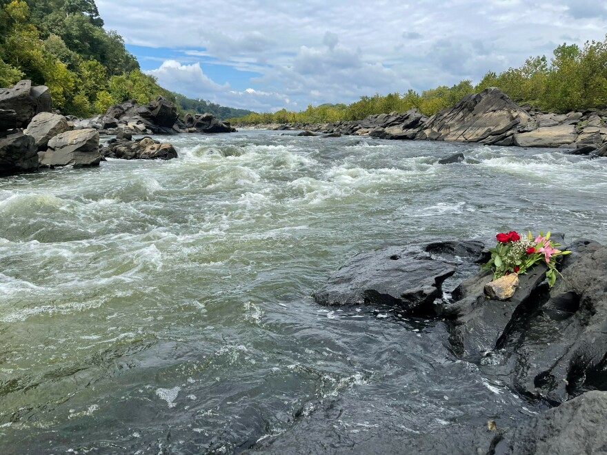
The Potomac River below Anglers Inn is an easier run than the Mather Gorge section just upstream, but is still in the back yard of Washington, D.C. This fact contributes to the strong boating community in the metropolitan region. In this section, the river maintains it's wild and remote feeling, except for at choice spots where Virginia has allowed sloppy development to mar the shore.
The river offers play and practice for beginners to experts and numerous sections can be run. This description will deal with the rapids and access points and doesn't provide details on the numerous play spots. Make sure you know the take-out from the river - there is a dangerout low head dam downriver above Little Falls
Maryland:
\- Angler's Inn. Put-in Reach via MacArthur Blvd. Park in one of three gravel or dirt lots across from the Angler's Inn, a fine restaurant. Carry across the canal, then 100 feet south on the towpath, then right down to the shore. From the river, the beach is easily seen on river left.
\- Carderock. Reach via Clara Barton Parkway. Park at Carderock picnic area. Path across grassy area leads to small access. From the river, the access is a muddy bank.
\- Lock 10. Take-out. Reach via Clara Barton Parkway. Park at Lock 10 lot. Trail leads down to shore. From the river, you need to take a river left side channel to find the path. Make sure you know the take-out from the river - there is a dangerout low head dam downriver above Little Falls.
Playspot List & Levels:
4.2' - 5.4' Offut Waves (Class 2)
Rapids in this Run (3)
Difficulty
Class II
Length
4.2 mi
Rapids
3
Access Points
Difficulty Classes
I Easy
II Novice
III Intermediate
IV Advanced
V Expert/Extreme
VI Unrunnable
Current Conditions
5-Day Forecast
Whitewater data from
American Whitewater
American Whitewater