5. Finn Rock to Leaburg Dam
Gauge Conditions
Runnable: 600.0 – 12,000.0 CFS
Data from American Whitewater & USGS
Run Map
Run Time Estimate
Select put-in and take-out to estimate time.
Plan This Trip
See wind-adjusted speed maps, forecast planning, and detailed time estimates.
Sign in to generate an AI timing estimate for this run.
Whitewater timing varies with scouting, portages, and group pace. Use as a planning baseline.
Description
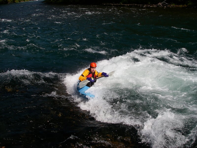
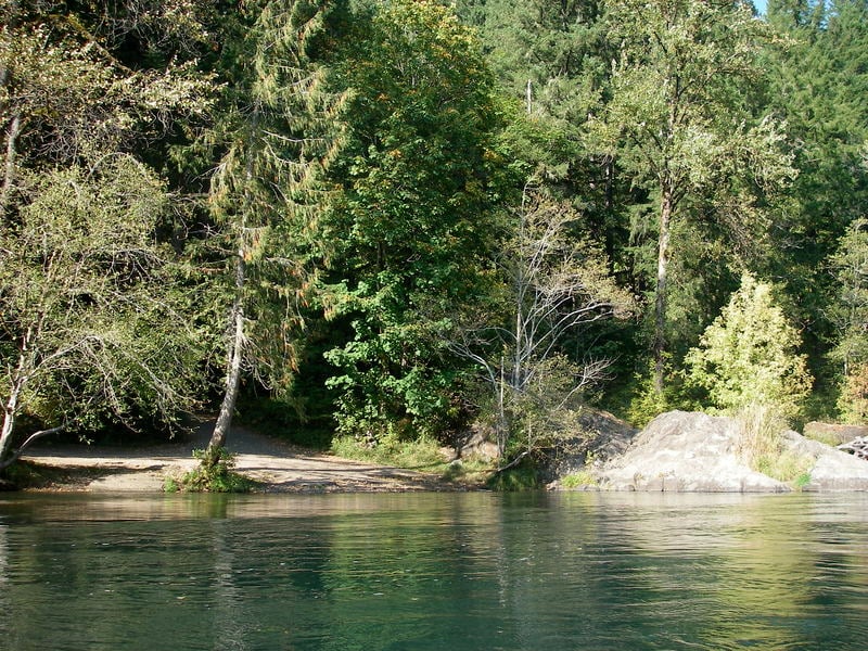
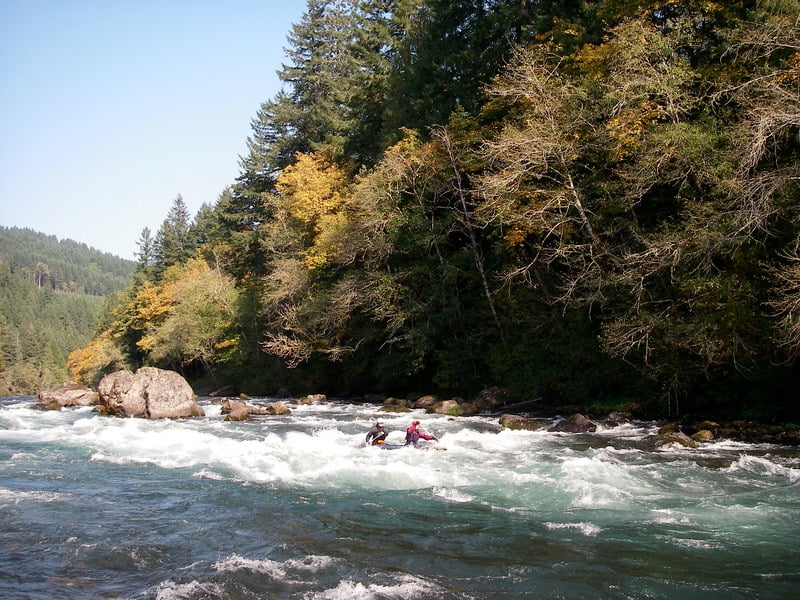
With a long season, convenient access to Eugene, great scenery, and a couple great playspots this is the most popular section of the river. It's a great river to learn on as those new to the sport can follow a guide down more conservative lines while experienced paddlers can enjoy a number of fun playspots.
Playboat levels:
2.4-2.9 ft is ideal for Neil's Wave, it can be caught on the fly higher, but tends to wash out, and eddy service gets lost.
The very top hole in Clover is fun when low, other waves come in below the main river right wave as the level comes up. 3.5+ always has something surfable there.
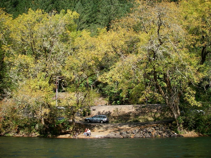
The run from Finn Rock down to Prince Helfrich Landing is a great day trip. Several access points provide a diversity of options including park and play at Clover Point. Many kayakers enjoy the Mom's Pies run which starts at the informal access at Mom's Pies just above Clover Point and takes in the best playspots on the run. The most challenging rapid on this section is Marten Rapid which is a solid class III at medium flows and the most challenging drop on the run. You can always take-out above this rapid at Ben and Kay Dorris State Park. Prince Helfrich Landing is located just after this rapid.
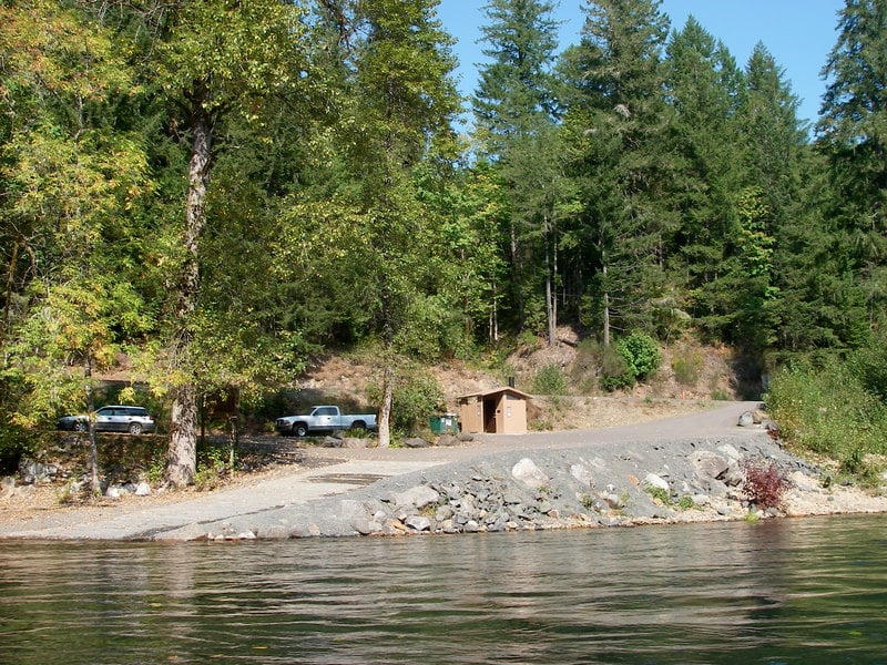
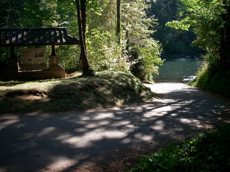
Access: Finn Rock is the main put-in and works well for rafts. To reach this access head to Highway 126 mile 37.9 and turn onto Quartz Creek Road which takes you across the bridge to river left. A good ramp is available on the upstream river left side of the bridge.
The take-out for the full run just below Marten Rapid is Prince Helfrich Landing. It is reached by driving to Highway 126 mile 38.5 and then turning onto Thomson Ln. which heads down to the river. You can recognize it from the river by the suspension bridge across the river. You can shorten the run by using one of several access points upstream or continue down to Leaburg Dam.
Rapids in this Run (11)
Difficulty
Class II(III)
Length
15.0 mi
Rapids
11
Access Points
Shuttle Info
There are a number of access points along the McKenzie River. Heading upstream from Eugene on Highway 126 the access points are indicated by highway mile marker as follows:
11.6 Hendricks Park
23.9 Leaburg Dam
24.7 Access at the upstream end of Leaburg Reservoir
28.5 Helfeich (requires a short drive down Thomson Lane)
29.1 Ben and Kay Dorris State Park
32.2 Rennie
33.9 Silver Creek
35.7 Mom's Pies (an informal access used by kayakers)
37.9 Find Rock (take Quartz Creek Road and cross the river to river left)
40.9 Forest Glen
43.8 access ramp
45.6 access ramp
49.8 McKenzie Bridge Campground
51.8 day use site with access
54.1 Paradise Campground
As you continue past Paradise the road mileage markers change but it's 7.6 miles from Paradise to Ollalie.
17.1 access ramp
13.0 Ollalie Campground (drive 0.5 mile downstream to the access ramp)
Difficulty Classes
I Easy
II Novice
III Intermediate
IV Advanced
V Expert/Extreme
VI Unrunnable
Current Conditions
5-Day Forecast
Whitewater data from
American Whitewater
American Whitewater