5. Grave Creek (Galice) to Foster Bar (Agness)
Gauge Conditions
Runnable: 1,200.0 – 30,000.0 CFS
Data from American Whitewater & USGS
Run Map
Description
PERMITS: Applications for the annual permit lottery (for launch dates between May 15th and October 15th) are accepted between December 1st and January 31st. You can also pick up unconfirmed launch dates by phone. Most become available ten days in advance of a launch date. Weekend launches in summer can be tough to get, but if you're flexible you can usually get a permit. Off-season permits are available by request. Additional information on permits can be found on the Rogue National Wild and Scenic (NWS) River web site.
SEASON: All year possible. The peak season is May 15th to October 15th and there are wonderful opportunities for winter paddling.
LOGISTICS: The Grave Creek put-in is reached off I-5 exit 61 by heading west towards Galice. Overnight parking and camping are not allowed at the launch site. Camping and an alternative launch site can be found four miles upstream at Almeda Bar (campsite reservations for Almeda Bar are possible through Josephine County Parks). The preferred shuttle route is the Bear Camp Road (FR 23) to Foster Bar Landing. The 44-mile drive takes about two hours (one way). This option may be closed due to snow or debris slides. The long route is 193 miles and takes about five hours (one way) on Oregon Highway 199, but this is along paved roads and is open through the winter. The BLM Rogue River web site has shuttle maps and current conditions. Many take advantage of one of the local shuttle services or a Rogue River rafting outfitter.
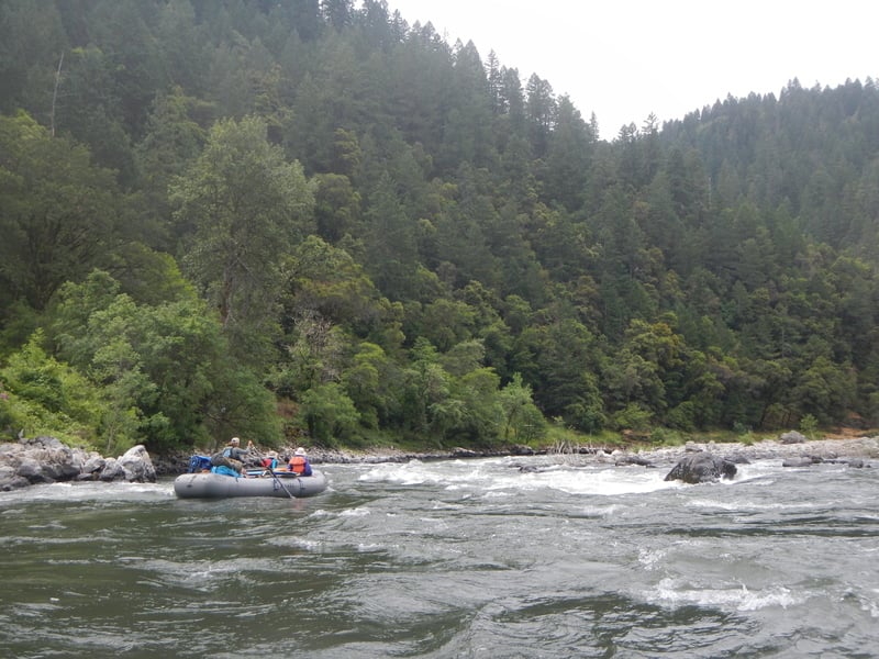
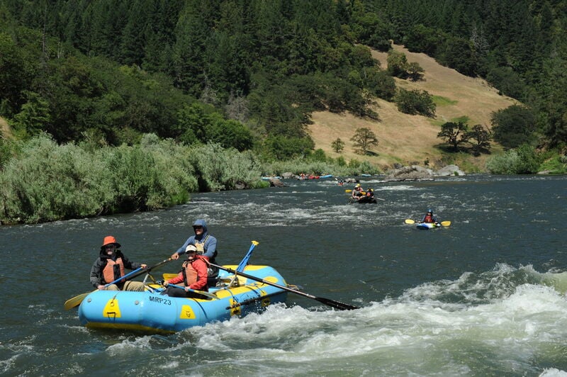
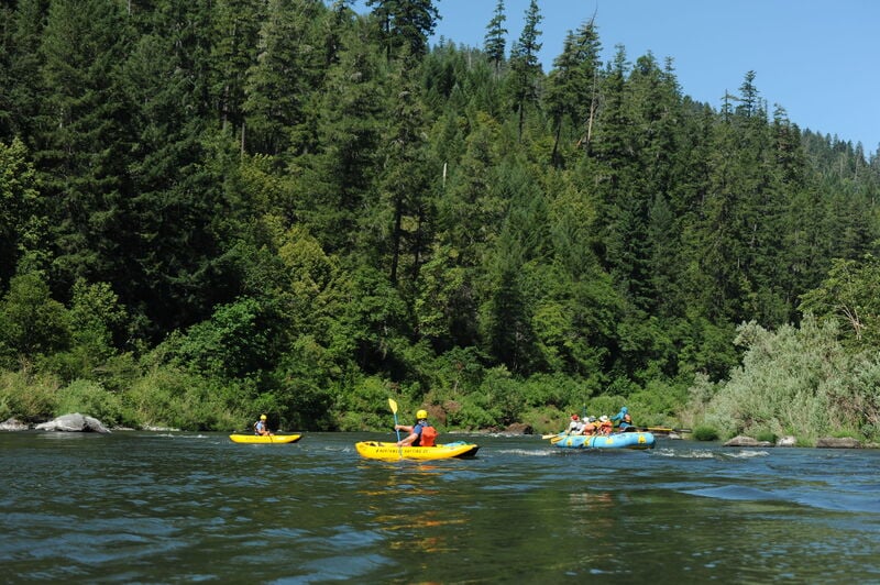
DESCRIPTION: Trips on the Rogue typically last 3-4 days and you have the unique option of camping or staying at the wilderness lodges spaced along the course of the run. Most of the information you'll need to plan a trip can be found on the BLM Rogue River web site. They even offer a full floater's guide in pdf format.You can either take a guided trip (some outfitters are geared towards kayakers and provide raft support for those who want to enjoy the river and have someone else worry about all the logistics) or organize your own non-commercial trip. If you're interested in the latter, you will need to obtain a float permit for trips between May 15 and October 15.
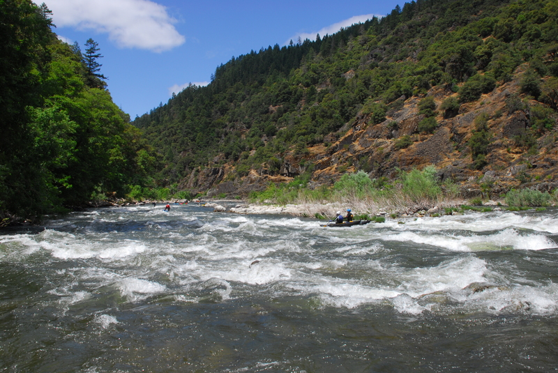
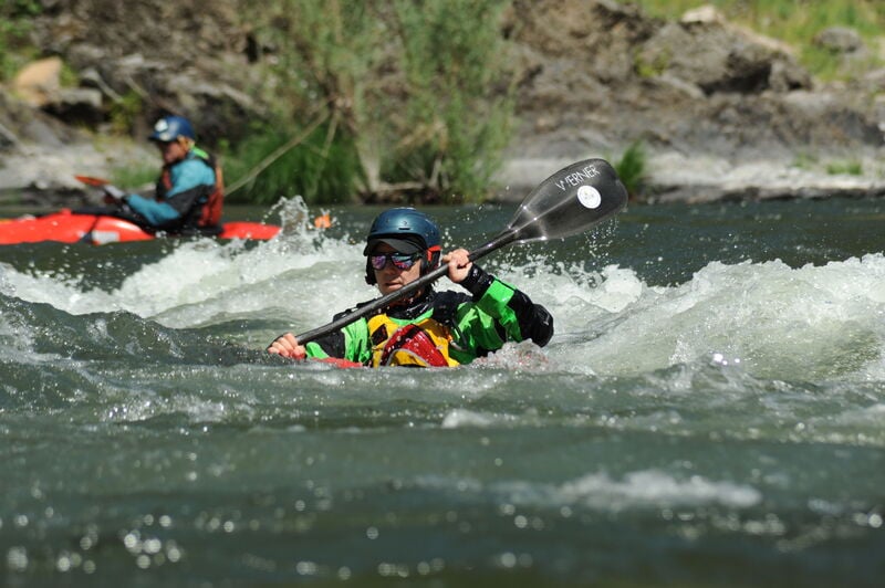
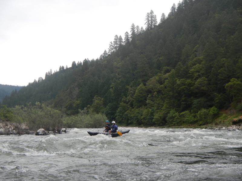
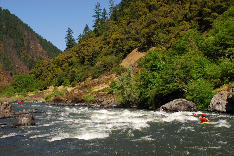
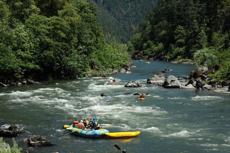
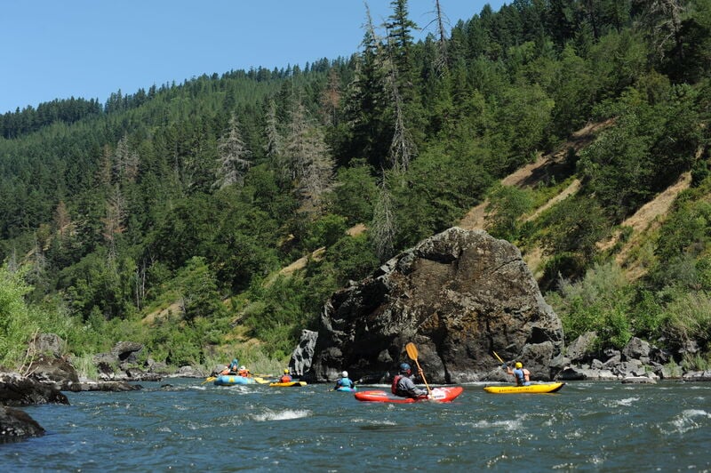
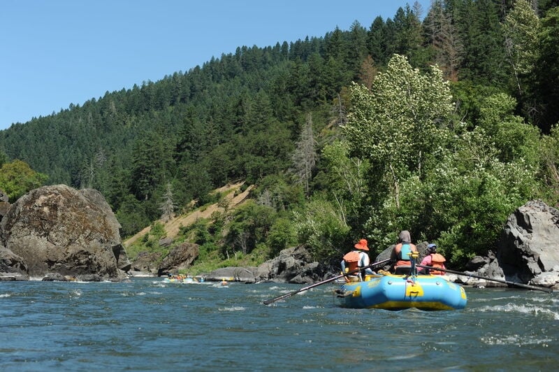
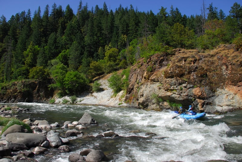
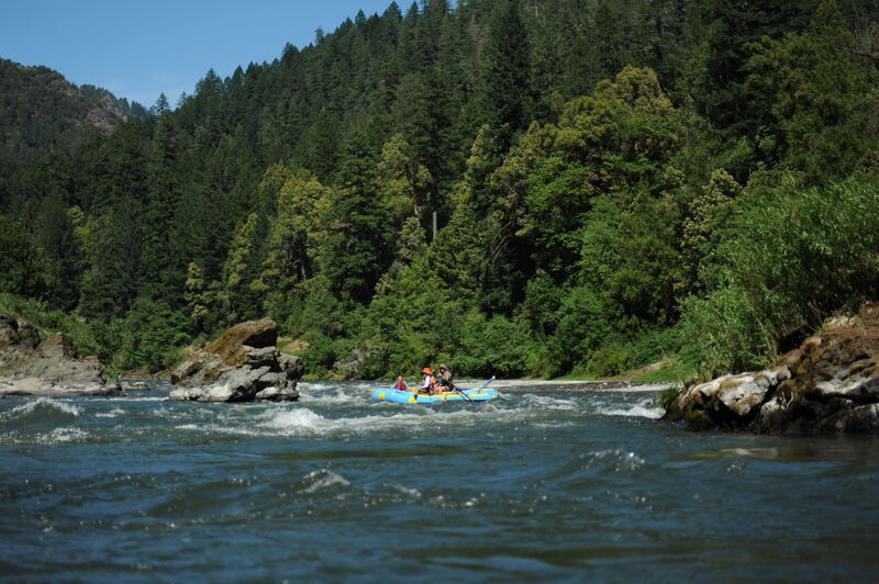
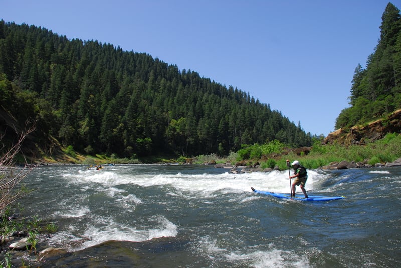
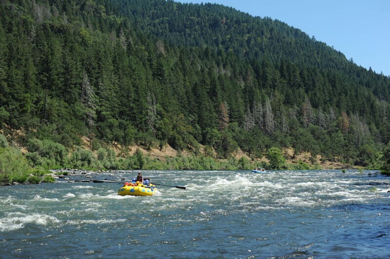
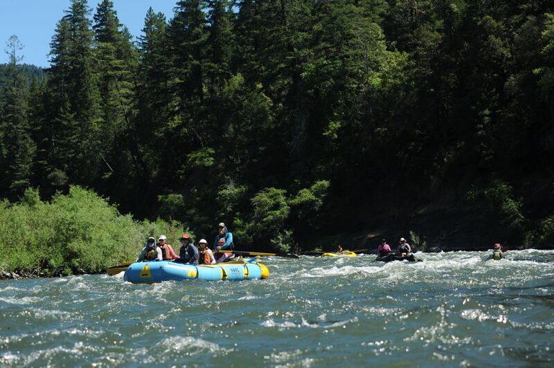
Although this is one of the nation's original Wild and Scenic Rivers that retains its ancient forests, the river has a long history of human impacts. Upstream dams decimated native salmon and steelhead runs that made this river famous, but the recent removal of Savage Rapids Dam, Gold Hill Dam, Gold Ray Dam, and the breaching of Elk Creek Dam offer signs of hope for fisheries recovery. On the run itself, extensive blasting during the 1930s and 1940s cleared boulders and 'cleaned up' the rapids. Finally, jet boats zip up and down the one-third of the run. Despite these impacts, the Rogue remains one of the Pacific Northwest's most popular multi-day whitewater trips. Warm water, great pool-drop rapids, and beautiful scenery make this a true classic.
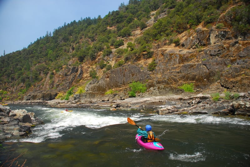
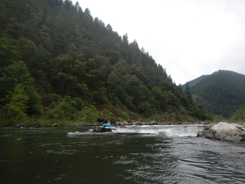
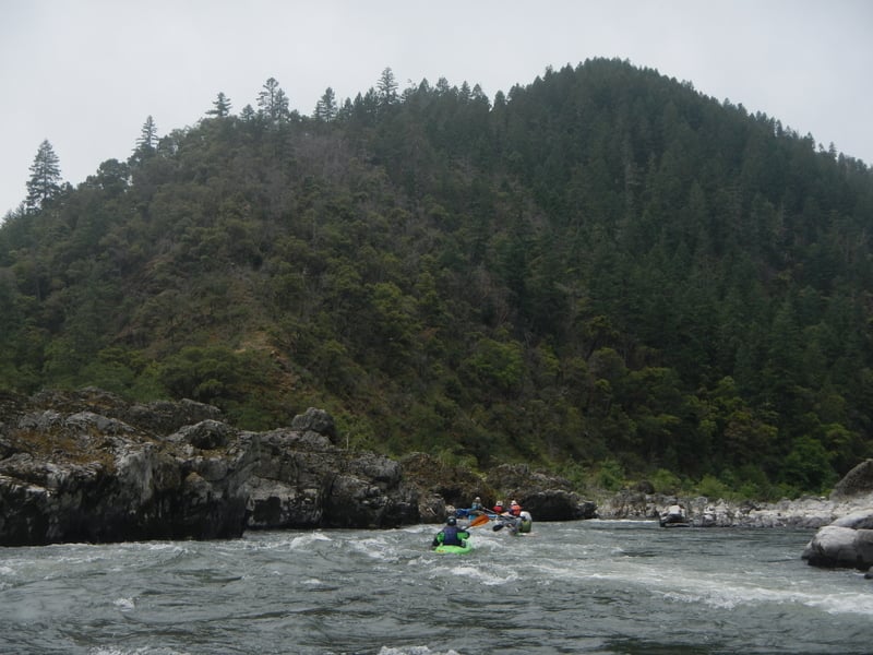
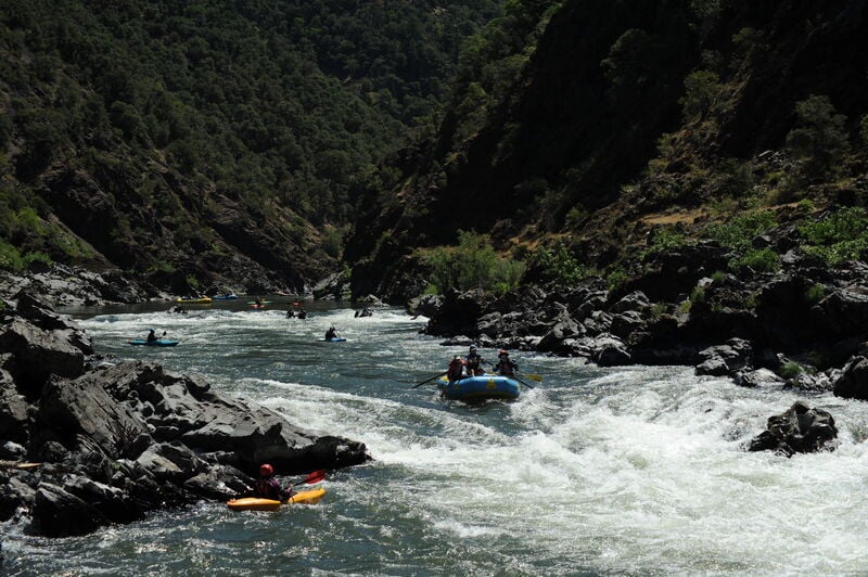
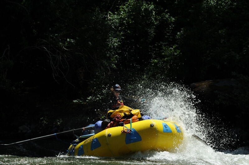
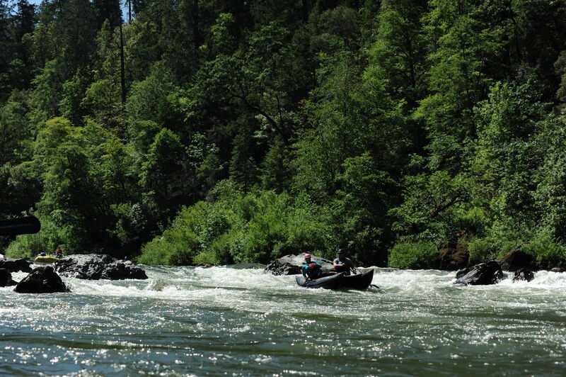
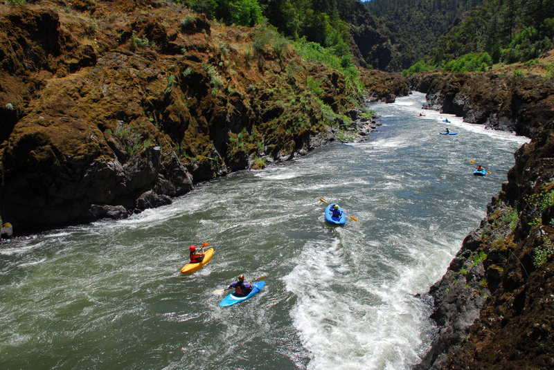
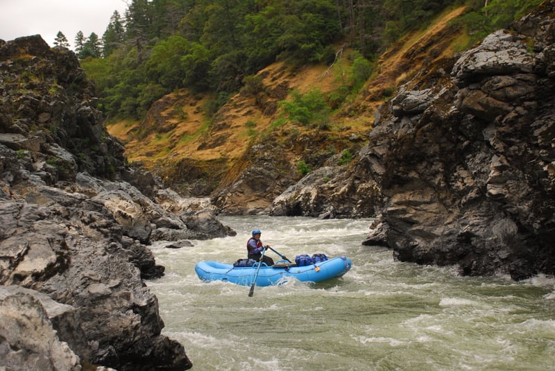
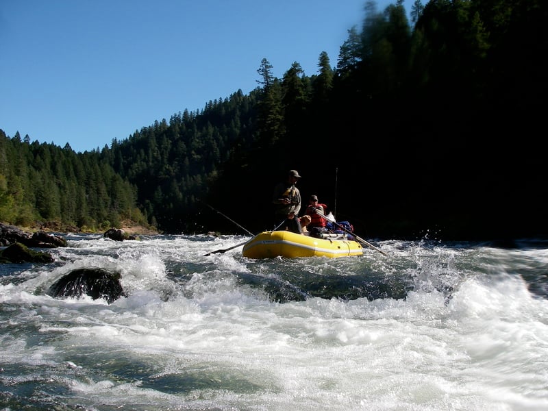
Starting at the Grave Creek Boat Ramp (river mile 68.5, elevation 630'), class III whitewater begins immediately with Grave Creek Falls. The first major rapid, Rainie Falls (class V), comes within two miles of the put-in at an obvious horizon line. If you're thinking about running the falls you'll want to get out and scout. The best vantage is on river left and this is also the best side to portage kayaks. A class III alternative is the 'fish ladder' which is an artificial channel blasted out along river right. The 'mid chute' is a class IV chute down the middle that offers another option.
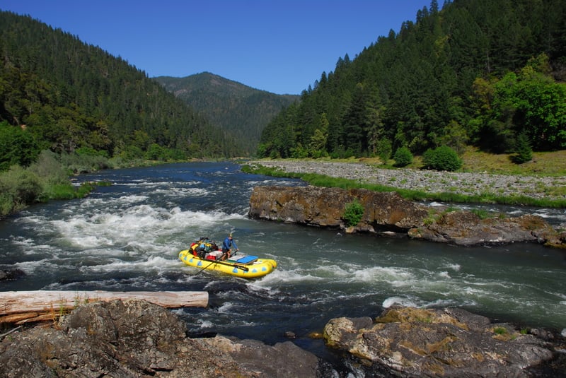
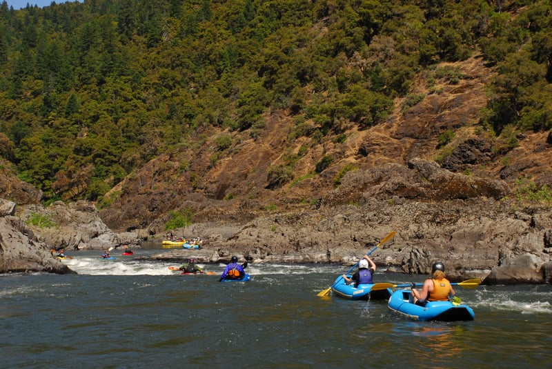
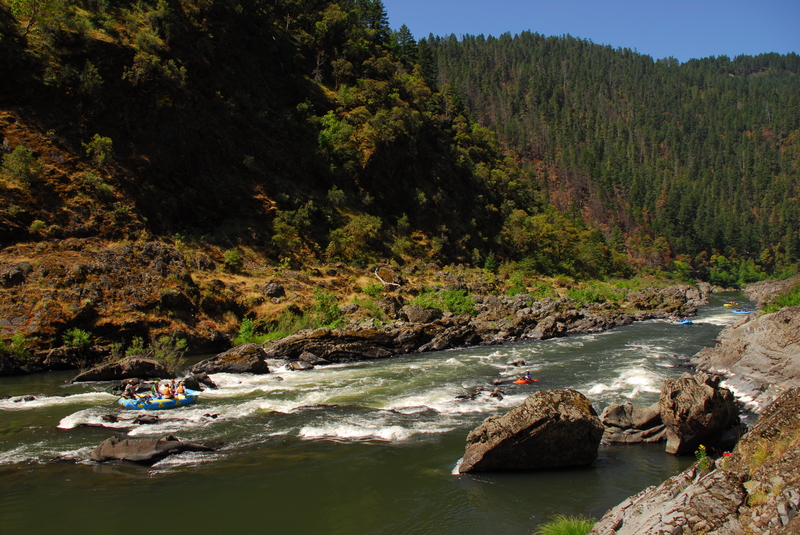
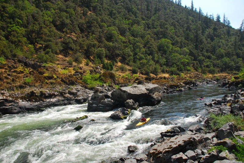
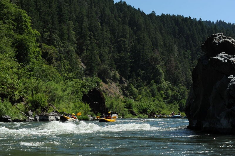
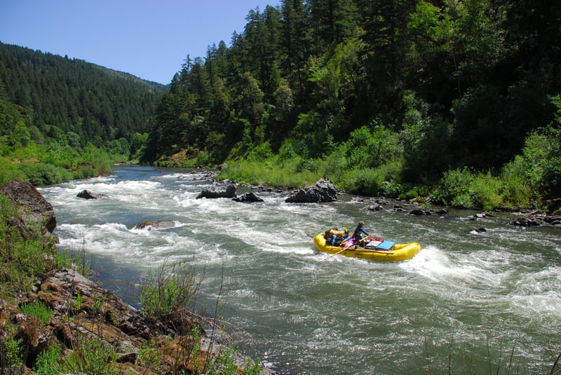
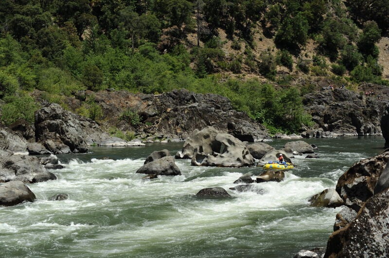
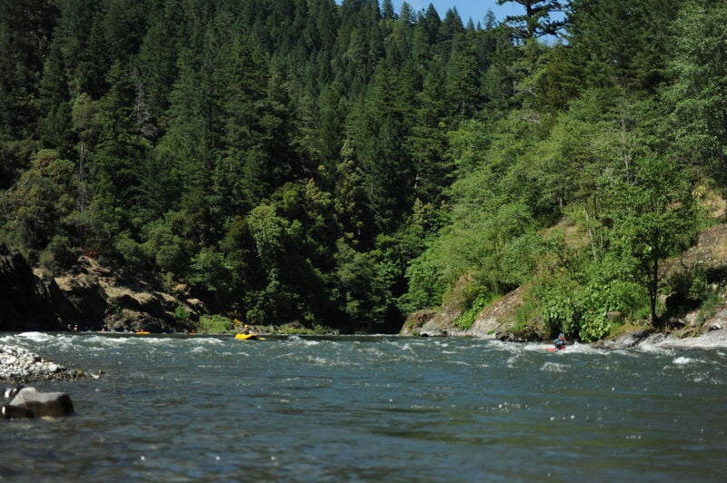
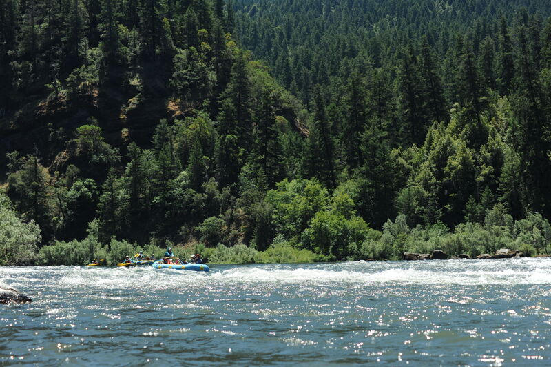
The river continues with more class II and III rapids before arriving at Rogue River Ranch. This is a good place to stop and prepare for Mule Creek Canyon at mile 21. This section offers the longest continuous whitewater on the run with good class III+ rapids through a narrow canyon that culminates in the Coffee Pot, a class IV- constriction where surging boils may require a strong brace. Soon after leaving this canyon at mile 23 you'll arrive at Blossom Bar (class IV) which is the second major rapid on this run. Scout the drop from river right. Jet boats can travel upstream as far as Blossom Bar, so you are likely encounter them on the remaining 12 miles of the run.
Most boaters take out at the Foster Bar Boat Ramp (river mile 33.7) which is 34 miles from the Grave Creek put-in. The river continues 33.7 miles to the Pacific Ocean at Gold Beach, but there are fewer rapids and a road along the river.
BEARS: Bears have become habituated to the presence of boaters in camps along the river, and there have been increasing problems with bears raiding camps for food. Please help avoid problems with bears by maintaining a clean camp, keeping food and trash secured in sealed containers, and by storing these containers within the electric bear fences at the camps where they are provided. It is not safe to store food on rafts: bears have learned to climb onto rafts in search of food. Bear fences are located at the following sites (2022 season): Whisky Creek, Horseshoe Bend, Rogue River Ranch, Upper, Middle, and Lower Half Moon Bar, Brushy Bar, Upper and Lower Solitude, Upper and Lower Tate Creek, Upper, Middle, and Lower Tacoma.
Rapids in this Run (39)
 Rapid
III
Rapid
III
Grave Creek Riffle
 Rapid
III
Rapid
III
Grave Creek Falls
 Rapid
IV+
Rapid
IV+
Rainie Falls
 Rapid
II
Rapid
II
China Gulch Rapids
 Rapid
III+
Rapid
III+
Tyee Rapid
 Rapid
III
Rapid
III
Wildcat Rapids
 Rapid
II
Rapid
II
Russian Rapids
 Rapid
II
Rapid
II
Montgomery Rapids
 Rapid
II
Rapid
II
Howard Creek Chute
 Rapid
III
Rapid
III
Slim Pickins Rapid
 Rapid
II
Rapid
II
Washboard Rapids
 Rapid
II
Rapid
II
Plowshare
 Rapid
II
Rapid
II
Windy Creek Chute
 Rapid
III+
Rapid
III+
Upper Blackbar Falls
 Rapid
III
Rapid
III
Lower Blackbar Falls
 Rapid
II
Rapid
II
Little Windy Riffle
 Rapid
III
Rapid
III
Horseshoe Bend
 Rapid
II
Rapid
II
Telephone Hole Riffle
 Rapid
II
Rapid
II
Dulog Riffle
 Rapid
II+
Rapid
II+
Kelsey Falls
 Rapid
II
Rapid
II
Battle Bar Riffle
 Rapid
Rapid
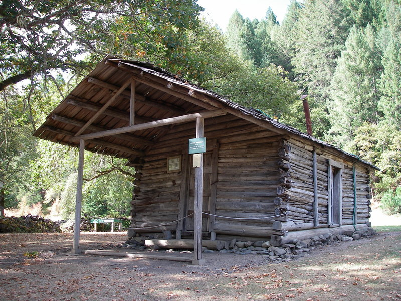
Winkle Bar - Zane Grey Cabin
 Rapid
II
Rapid
II
Long Gulch Riffle
 Rapid
II
Rapid
II
Big Boulder Rapids
 Rapid
II
Rapid
II
Island Rapids
 Rapid
II
Rapid
II
Johns Riffle
 Rapid
II
Rapid
II
Maggies Riffle
 Rapid
II
Rapid
II
China Bar Rapids
 Rapid
III+
Rapid
III+
Mule Creek Canyon - Narrows
 Rapid
IV
Rapid
IV
Mule Creek Canyon - Coffee Pot
 Rapid
IV
Rapid
IV
Blossom Bar
 Rapid
III
Rapid
III
Devils Stairs
 Rapid
II
Rapid
II
Tichenor Riffle
 Rapid
II
Rapid
II
Solitude Riffle
 Rapid
II
Rapid
II
Tacoma Rapids
 Rapid
III
Rapid
III
Clay Hill Rapids
 Rapid
II
Rapid
II
Payton Riffle
 Rapid
II
Rapid
II
Burns Riffle
 Rapid
II
Rapid
II
Watson Riffle
Difficulty
Class II-III(IV)
Length
34.5 mi
Gradient
14 ft/mi
Rapids
39
Access Points
Shuttle Info
The preferred shuttle route is the Bear Camp Road (FR 23) to Foster Bar Landing. The 44 mile drive takes about two hours (one way). This option may be closed due to snow or debris slides. The long route is 193 miles and takes about five hours (one way) on Oregon Highway 199, but this is along paved roads and is open through the winter. The [Rogue NWS River web site](http://www.or.blm.gov/rogueriver/) has shuttle maps and current conditions. Many take advantage of one of the local shuttle services--some are listed in the Gear, Guides and Services tab above.
Difficulty Classes
I Easy
II Novice
III Intermediate
IV Advanced
V Expert/Extreme
VI Unrunnable
Permit Required
Lottery for permits issued during regulated use season of May 15 through October 15.
Get Permit
Current Conditions
5-Day Forecast
Whitewater data from
American Whitewater
American Whitewater