5. Lower James through Richmond
Gauge Conditions
Runnable: 2.8 – 14.0 FT
Data from American Whitewater & USGS
Run Map
Run Time Estimate
Select put-in and take-out to estimate time.
Plan This Trip
See wind-adjusted speed maps, forecast planning, and detailed time estimates.
Sign in to generate an AI timing estimate for this run.
Whitewater timing varies with scouting, portages, and group pace. Use as a planning baseline.
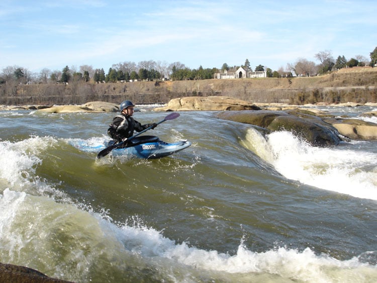
Description
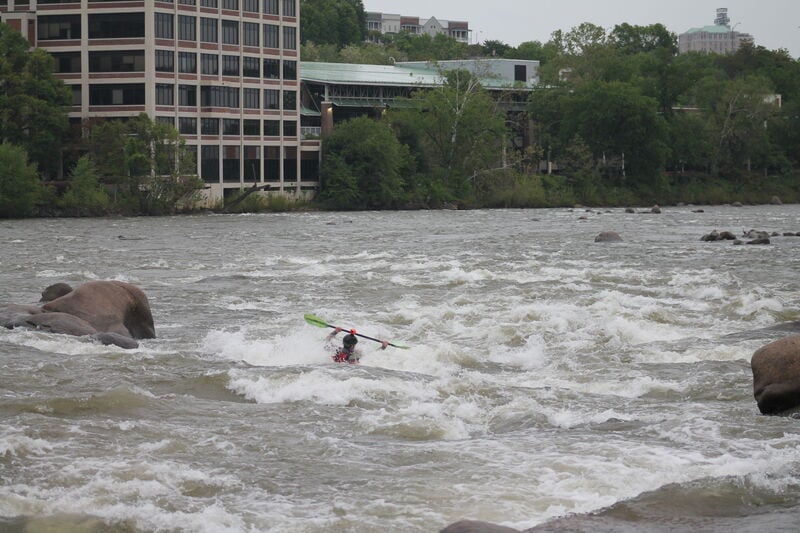
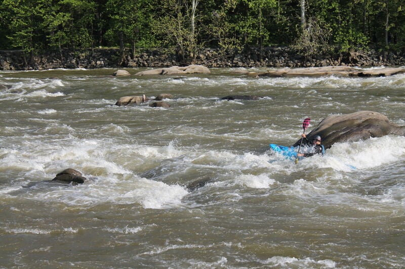
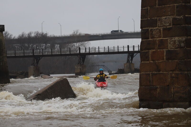
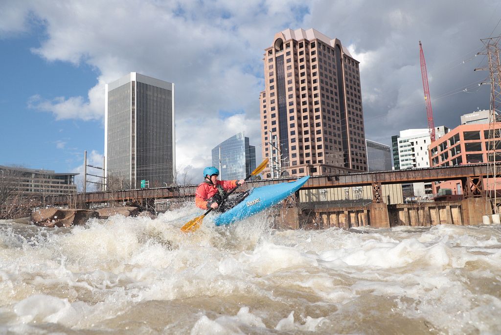
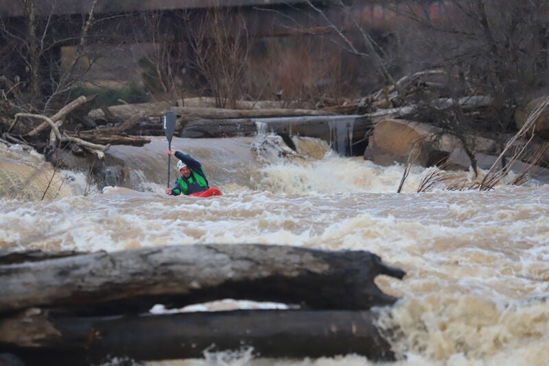
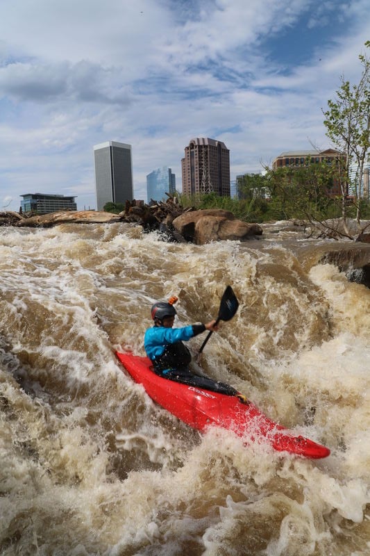
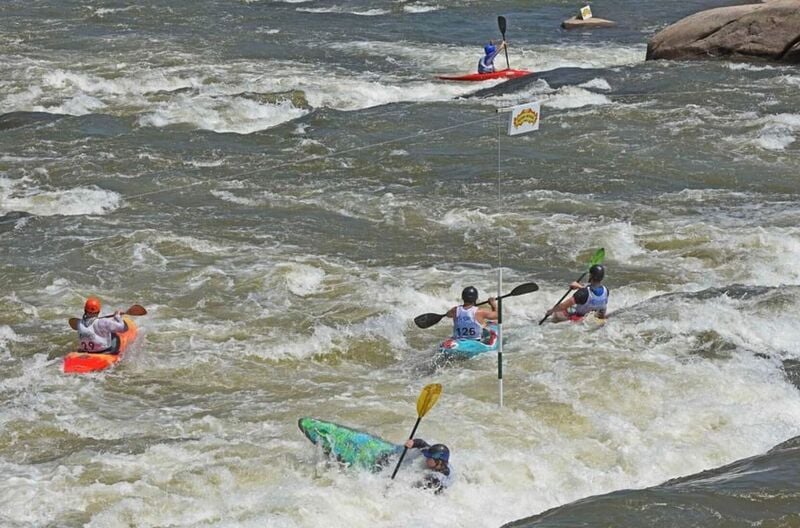
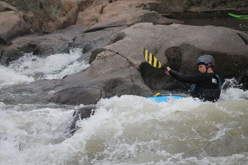
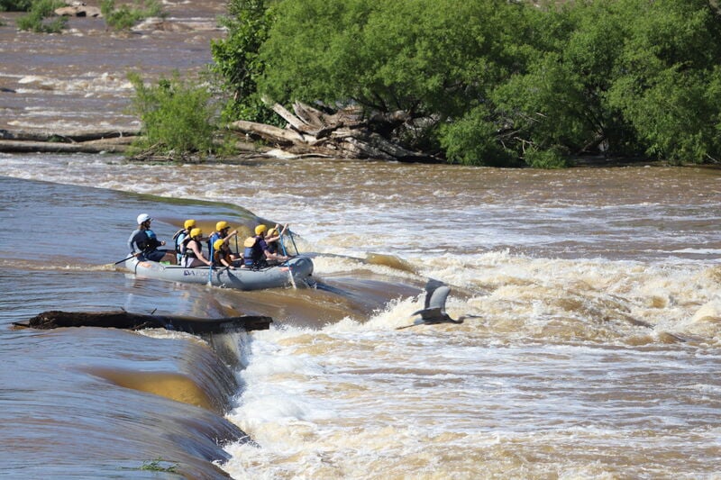
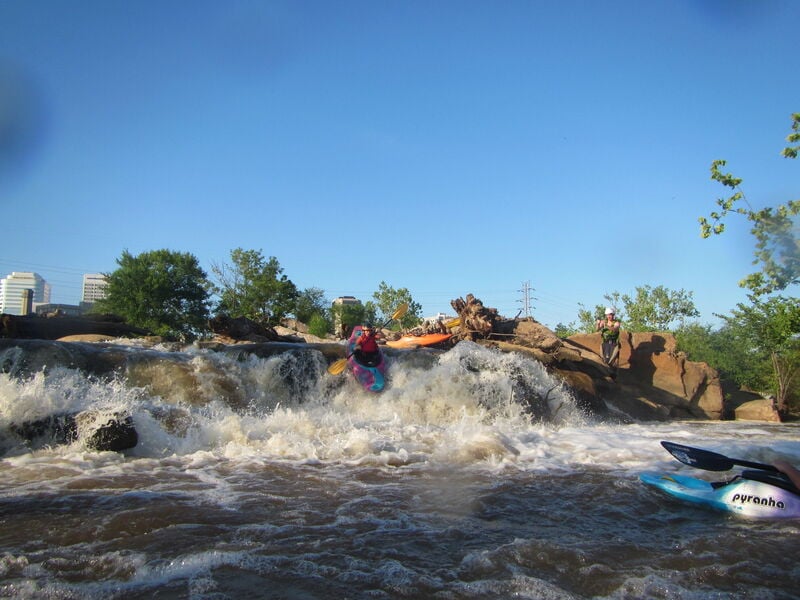
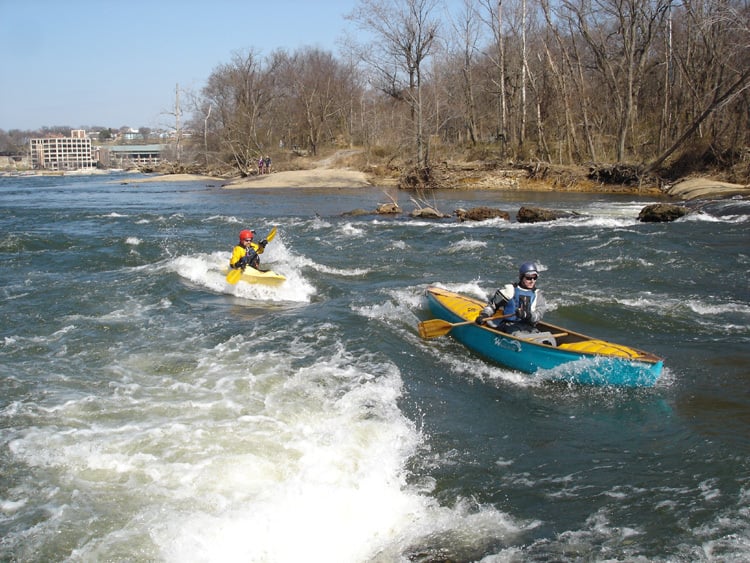
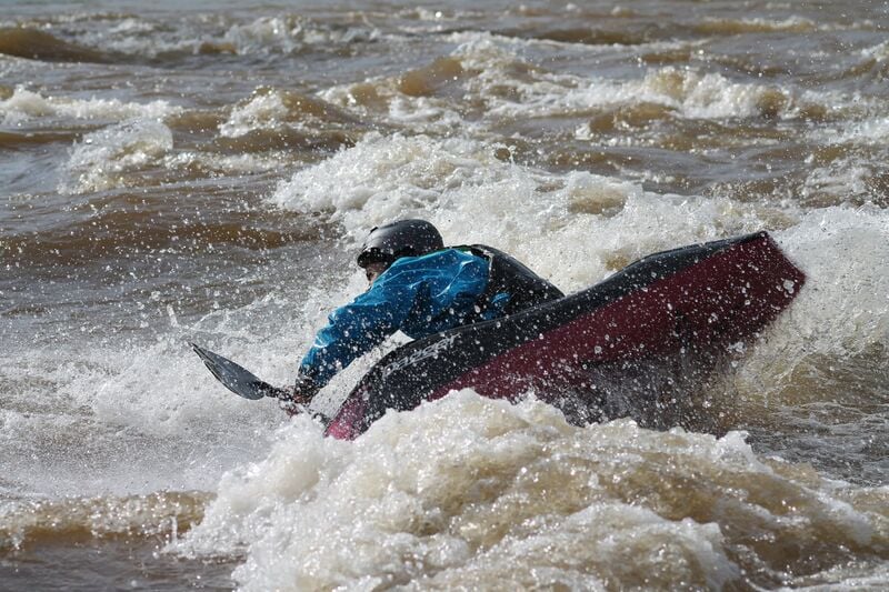
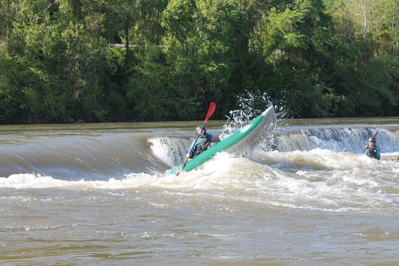
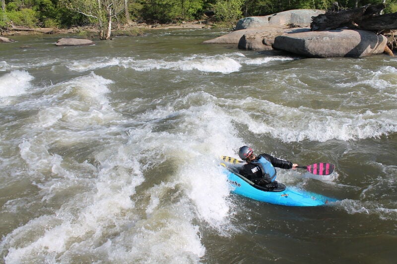
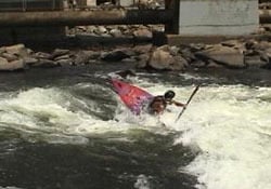
The Lower James is a whitewater gem running through the heart of Downtown Richmond. Boaters who live or work in the area can typically reach the put-in/takeout within twenty to thirty minutes. The shuttle is easy and can be road biked, mtn. biked, via the buttermilk trail, ran, or driven. This is a short run but multiple laps are easy and common. The river provides numerous features for play and skill development. The Lower James runs year-round and has a wide range of runnable levels. The character and features available throughout this range offer year-round variability and provide an excellent training and playground for intermediate and advanced boaters. Refer to the Flows tab for classification based on the river level.
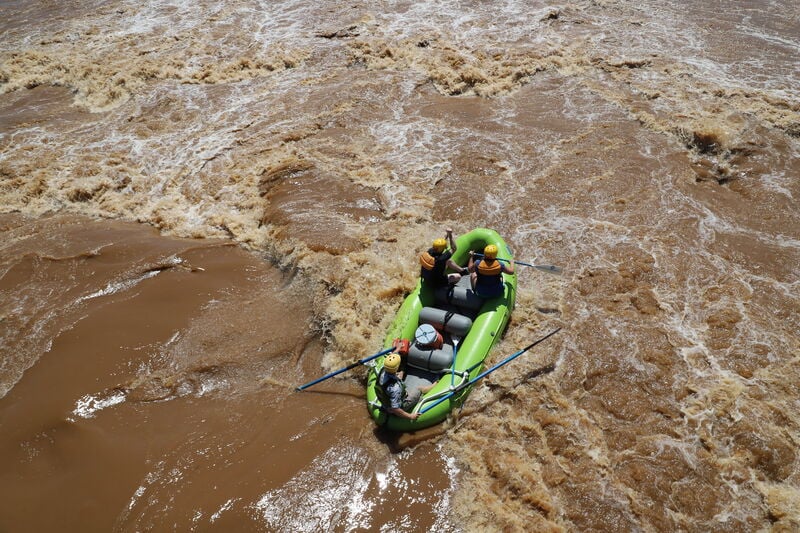
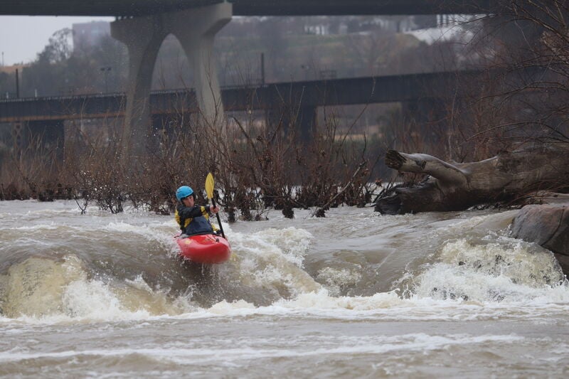
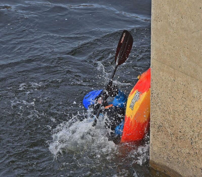
Being an urban run, many natural and manmade hazards exist such as low head dams, keeper holes, rebar, hidden debris, and strainers. At optimal levels, the run is not overly difficult, but the lines are not obvious and intermediate boaters should seek a friendly local guide for their first run. Due to the considerable width of the river and hazards present, boaters are cautioned when considering running this section at flows above 7ft.
For a 3-day river level forecast visit https://water.weather.gov/ahps2/hydrograph.php?wfo=akq&gage=rmdv2
Rapids in this Run (13)
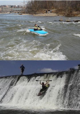
Waterfalls (5)
Difficulty
Class III-IV
Length
2.5 mi
Rapids
13
Access Points
Shuttle Info
**Directions:**
To the 14th Street Takeout:
From I-95 south bound, take exit 74B, turn right at stop light onto E. Franklin St., turn left at next stop light onto 14th St., stay on 14th St. As you pass the flood wall the access drive is immediately on the left. From I-95 north bound, take exit 73 Maury St, at stop light turn right onto Maury St., then turn left onto E 2nd St., at light turn right on Hull/14th St. cross bridge. Turning right on the access drive just on the river side of the north side flood wall. The parking lot is tucked in the back by a water treatment building.
This access point was built with the efforts from local boaters, the James River Outdoor Coalition and the James River Park System. There is a changing area and port-a-potty at the takeout.
To the Put-In at Reedy Creek:
Turn left out of takeout parking lot onto 14th/Hull St, turn right at third stop light onto Commerce Rd, Turn left onto any of the next 4 streets (example McDonough St), turn right onto Hwy 1/301 then turn left onto Semmes Ave (stop light). Turn right onto W 22nd St, turn left onto Riverside Dr, at Riverside Dr and Hillcrest Rd is the put-in area. There is a city parks area to unload boats. We normally park on Hillcrest Rd to better protect our vehicles. Please refrain from changing in public - there is a changing room in the park area near the boat drop off area as well as a port-a-potty.
Difficulty Classes
I Easy
II Novice
III Intermediate
IV Advanced
V Expert/Extreme
VI Unrunnable
Permit Required
When the river is above five feet at the Westham gauge, a PFD is required when on the river. At 9ft and above, each person on the river is required to have a permit, carry a first aid kit and rescue line, and paddle in a group of 3 or more. The permit system is a result of a compromise between the boating community and the city which wanted to ban boating during high levels. The permit cost is $10 for two years and can be obtained at the Richmond Fire department located at 24th & Broad St. on Church Hill. There is no exam nor test required to obtain a permit. Nov 2024 Edit: There is no longer a formal permitting system to regulate traffic on the James during high-water events; however, incidents (especially during high water) bring negative media attention and risk limiting access to this section. At high water, many features appear that can create significant hazards for unprepared paddlers. Please do not risk the return of the permitting system by attempting something outside your experience level!
Current Conditions
5-Day Forecast
Whitewater data from
American Whitewater
American Whitewater