5 Mile Square Rd to Clyde Road
Gauge Conditions
Runnable: 500.0 – 2,000.0 CFS
Min and max runnability levels are not known. All we know is that 650 cfs is runnable. If you know good levels, please help out by adding a comment.
Data from American Whitewater & USGS
Run Map
Run Time Estimate
Select put-in and take-out to estimate time.
Plan This Trip
See wind-adjusted speed maps, forecast planning, and detailed time estimates.
Sign in to generate an AI timing estimate for this run.
Whitewater timing varies with scouting, portages, and group pace. Use as a planning baseline.
Description
Put in and Take out show the furthest runnable extent of the river.
There are a few ponds with flatwater between so choose your section carefully. Mostly this run is a mellow winding river, but there are also some large dams and drops. These are completely avoidable by choosing an appopriate put in and takeout.
Class III-IV _1/3 miles_
There is a drop behind the West Charlston Post Office. This is the start of a short section with a few significant drops. (Durgin Rd to Fontaine Road.) There is also a gorge under Pensioner pond (Big Falls).
Class I-II section _3 miles_
Between Main street Derby Center and Crawford farm road there is a easy Class I-II section. You could also put in at hayward hollow road. it will add couple rapids to your trip, but also a long flat section on lake Salem. Watch for trees.
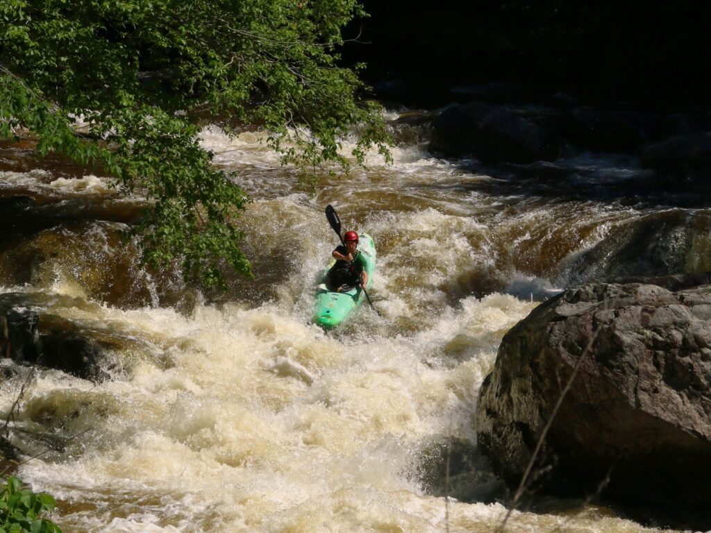
Class V-VI _1/3 miles_
There is what seems to be a significant, maybe unrunnable gorge below the Crawford Road bridge at the outflow of Clyde Pond.
Class II-III section _3/4miles_
Just below the gorge at the power plant there is a nice 3/4 mile class II-III section that keeps good flows for a while after a big rain. There is mutiple feature (a ledge, lots of eddy, holes and a surf wave between 500 cfs and 750 cfs). You can use an old power canal full of water to paddle back up the section.(Take out at the clyde street/Hill street junction).The river end in Newport a mile downstream
Rapids in this Run (4)

Waterfalls (1)
Difficulty
Class II-III(V)
Length
23.0 mi
Rapids
4
Access Points
Difficulty Classes
I Easy
II Novice
III Intermediate
IV Advanced
V Expert/Extreme
VI Unrunnable
Current Conditions
5-Day Forecast
Whitewater data from
American Whitewater
American Whitewater