5. West Glacier to Blankenship Bridge Wild
Gauge Conditions
Runnable: 1,000.0 – 8,000.0 CFS
Data from American Whitewater & USGS
Run Map
Put-in
Take-out
Rapids/Hazards
Wild
Recreational
Run Time Estimate
Select put-in and take-out to estimate time.
Plan This Trip
See wind-adjusted speed maps, forecast planning, and detailed time estimates.
Sign in to generate an AI timing estimate for this run.
Whitewater timing varies with scouting, portages, and group pace. Use as a planning baseline.
Description
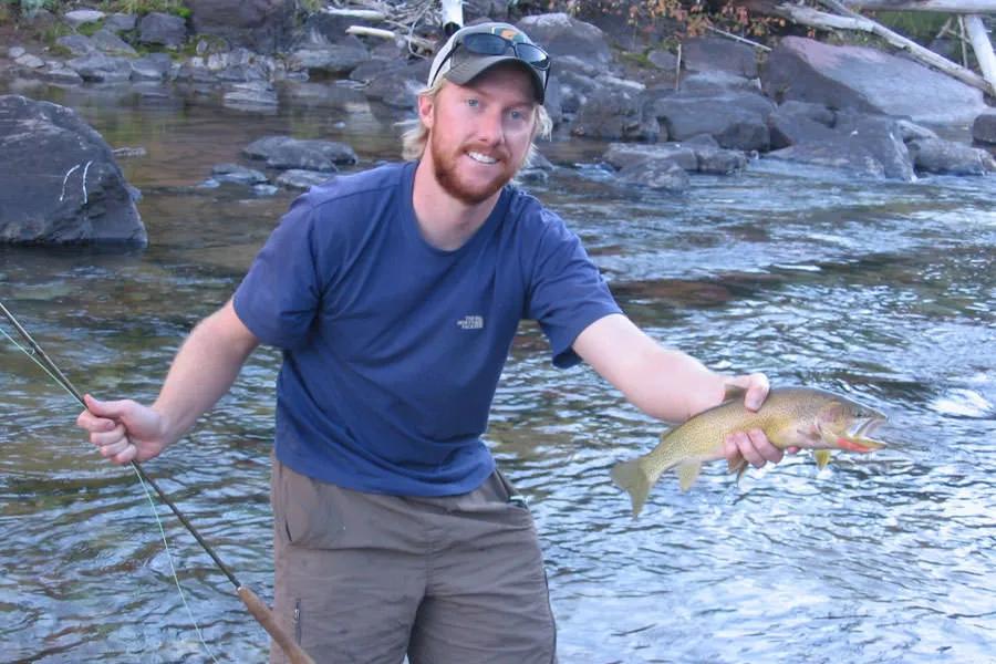
This popular run is a favorite for day trips, family floats, and first-time visitors seeking an accessible taste of the National Wild and Scenic Flathead River. Several outfitters offer trips on this segment of the river: list of rafting tour companies. The reach begins at West Glacier, just outside the entrance to Glacier National Park, and follows the river’s northern boundary downstream to its confluence with the North Fork at Blankenship Bridge.
The run is generally rated Class I–II, with swift currents, broad gravel bars, and occasional riffles. At typical summer flows it offers a mellow float suitable for rafts, canoes, and kayaks with basic moving-water skills. Early in the season, higher flows create stronger eddies and faster currents—particularly at Devil’s Elbow, where a bedrock outcrop forces a dramatic right-hand bend—but hazards remain limited compared to upstream canyon sections.
Scenery is the highlight: crystal-clear water, sweeping views into Glacier National Park, and the chance to spot eagles, osprey, or even the occasional black bear along the shoreline. Cobble bars and small beaches provide good options for rest stops and swimming on hot days.
Access is straightforward. Put in at West Glacier Bridge near the Park entrance. The take-out at Blankenship Bridge lies just upstream of the confluence with the North Fork; parking is limited and the area is often busy in summer. Day use is available on river left, while river right has long been a popular location for dispersed camping. Just upstream of Blankenship, the Middle and North Fork join to form the main Flathead.
Rapids in this Run (1)
Difficulty
Class I-II
Length
5.4 mi
Gradient
8 ft/mi
Rapids
1
Access Points
Difficulty Classes
I Easy
II Novice
III Intermediate
IV Advanced
V Expert/Extreme
VI Unrunnable
Current Conditions
5-Day Forecast
Whitewater data from
American Whitewater
American Whitewater