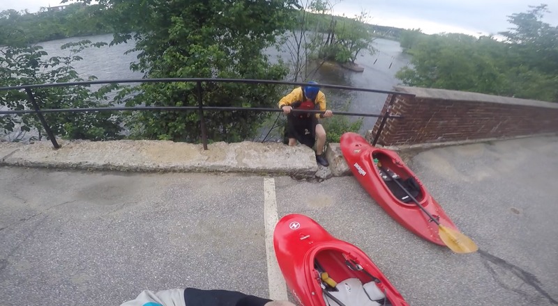
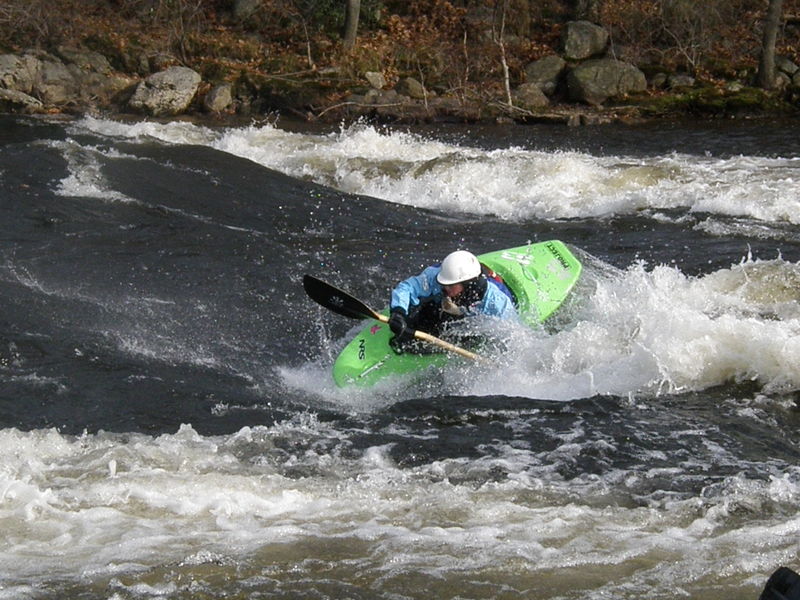
6) Amoskeag Falls to Goffs Falls (Crack Pipe, 293 Wave)
Gauge Conditions
Runnable: 900.0 – 11,000.0 CFS
Data from American Whitewater & USGS
Run Map
Description
The Merrimack River through Manchester is more popular for its three play spots (Arms Park aka Crack Pipe, 293, and Goffs Falls) rather than a river run. However, this section does provide water at a time of year when practically every other river within 100 miles is too low. The scenery is poor since it runs through the heart of Manchester's mill district.
The manmade canyon created by the buildings from the Amoskeag mills have a lot of history. In the early 20th century these mills produced more woolen products than anyplace else in the world. As a result the river has been diverted, altered, and built upon creating an unnatural river environment. The parking lot located at Arms Park was the site of the Arms Manufacturing Company. Up to the anthrax outbreak in the fall of 2001, Arms Manufacturing had the reputation of having the worse anthrax death toll in the United States. In 1957 four people died of inhalation anthrax on goat hides, as it was used in their manufacturing process. The building was so contaminated with anthrax it had to be torn down, burned, and buried.
During times of heavy rains such as just after a thunderstorm the Manchester storm sewage drains are overwhelmed and dump directly into the river. This is especially noticeable at and below 293 bridge rapid. Normally (outside of times of CSO -- Combined Sewer Overflow) the water quality is not bad and according to the EPA it is acceptable for swimming.
Check out the Amoskeag fish ladder at the put-in. There is an interpretative center there showing the migratory habits of andromonous fish such as salmon, eel, and shad. The fish ladder is usually active in late May and early June.
During high runoff periods when water tops over the dam, there are three 1/4 mile long Class V channels that flow out from below the dam. Access and scouting is best from the east side of the river behind some mill buildings. At the time of this write up access was difficult because of construction on that side of the river.
### Technical info
```
Put in elevation........126'Take out elevation......104'Total drop..............22'Average drop/mile.......4'Distance................5.3 milesRiver width average.....200'River geology...........schists, small boulders, some ledge especially at 293River water quality.....poor to neutral; clarity: neutral to dark. Sewage treatment plant at 293. Sewer overflows during heavy rains.Scenery.................Poor, urban historic (early industrial)Wildlife................Salmon, shad, eel, merganzers, Bald eagles near take out.
```
Directions
----------
### Put in
Interstate 93 to Interstate 293. Bear right after crossing the Merrimack in order to stay on 293.
approximately 4 miles to exit 6.
As soon as you come off the exit and merge onto a rotary take your immediate right into the Ramada Inn parking area.
Park close to the entrance to the parking area.
To put in carry along the fence line around the electrical substation parrallel to the exit you just drove on.
Eventually a trail will be obvious to take you to the put in below.
### Take out
Head back in the direction you came on Interstate 293 toward Nashua.
4 miles take the exit for state route 101.
As soon as you merge onto 101 take the next exit just pass the bridge onto state route 3.
Take a right at the bottom of the ramp.
Head south on route 3 for approximately 1.5 miles.
Take a left at Moores Crossing Road.
Park at the end of the road, the take out is just to the left after a short walk along the railroad tracks. (caution this is an active rail line)
Difficulty
Class I-II+(III)
Length
5.1 mi
Gradient
4 ft/mi
max 10
Rapids
0
Access Points
Difficulty Classes
I Easy
II Novice
III Intermediate
IV Advanced
V Expert/Extreme
VI Unrunnable
Current Conditions
5-Day Forecast
Whitewater data from
American Whitewater
American Whitewater