6. Black Oak (Gary Yoder River Access) Nr. Rawlings, MD to Upper Potomac Industrial Park (upstream of Cumberland, MD)
Gauge Conditions
Runnable: 330.0 – 3,300.0 CFS
Data from American Whitewater & USGS
Run Map
Run Time Estimate
Select put-in and take-out to estimate time.
Plan This Trip
See wind-adjusted speed maps, forecast planning, and detailed time estimates.
Sign in to generate an AI timing estimate for this run.
Whitewater timing varies with scouting, portages, and group pace. Use as a planning baseline.
Description
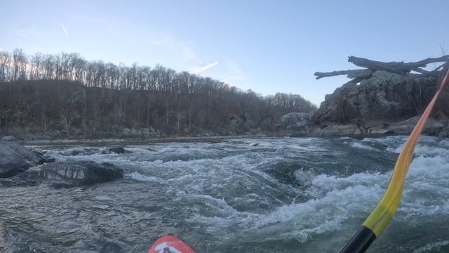
River Description: Easy paddle with mostly good current through wooded valley with views of high cliffs on WV side.
Rapid Description: None. Gravel bars in constricted areas could contain strainers.
Hazards & Portages (1)
Caution: The following locations may require scouting or portaging. Always check current conditions.
Difficulty
Class I
Length
19.0 mi
Rapids
0
1 Hazard
Access Points
Shuttle Info
Put-in: From the US 220 Bridge between Keyser, WV and McCoole, MD, take McMullen Hwy (US 220) north 3.25 miles and turn right at Black Oak Rd. Immediately after you cross the railroad tracks there is the Black Oak river access on your right.
Take-out: From Black Oak river access: Take McMullen Highway (US 220) north a little more than 8 miles (just past the Rt 956 bridge turnoff). There is a gravel road off to the right that crosses the railroad tracks in an odd humped crossing (check for trains). After the RR crossing turn right and follow the road towards the river until it comes to a parking area under the Rt 956 bridge.
Difficulty Classes
I Easy
II Novice
III Intermediate
IV Advanced
V Expert/Extreme
VI Unrunnable
Current Conditions
5-Day Forecast
Whitewater data from
American Whitewater
American Whitewater