A) County Line Road Picnic Area to Little Falls (5.7-5.88 miles)
Gauge Conditions
Runnable: 525.0 – 3,525.0 CFS
Likely low flows (perhaps 150-300 cfs). (Possibly E.L.F. level - Extreme Low Flow run.)
Data from American Whitewater & USGS
Run Map
Interactive run map
Loads as you approach this section.
Description
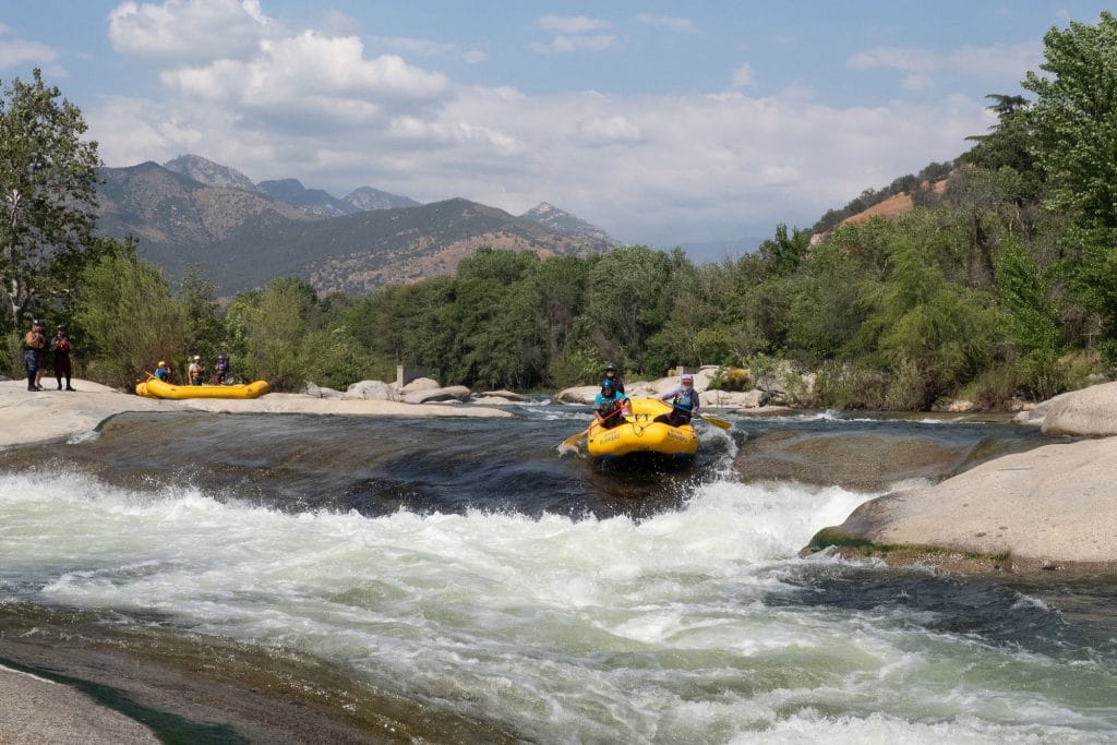
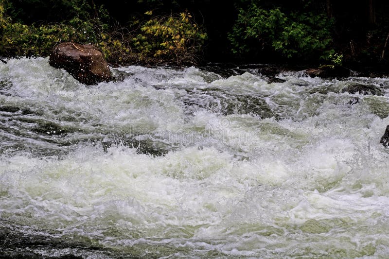
Upstream of the better-known Little Falls to Big Falls of the Jump, this section provides novice paddlers with flatwater and (generally) mild boulder-bed rapids.
Note: Technically, we are not including Little Falls as part of this run, but rather as part of the next section, Little Falls to Big Falls. See that section for more details.
At low flows (under 1000 cfs) Little Falls will be a bit bony and will require good river-reading skills and paddling skills to navigate. At flows above 1000 cfs, there will be some good-sized holes that most novice paddlers would be best advised to avoid!
Rapids in this Run (2)
Playspots (1)
Difficulty
Class I-II
Length
5.7 mi
Gradient
10 ft/mi
Rapids
2
Access Points
Difficulty Classes
I Easy
II Novice
III Intermediate
IV Advanced
V Expert/Extreme
VI Unrunnable
Current Conditions
5-Day Forecast
Whitewater data from
American Whitewater
American Whitewater