A) CTH.A (S.of Pearson) to Hwy.52 (Lily) (10.4 miles)
Gauge Conditions
Data from American Whitewater & USGS
Run Map
Run Time Estimate
Select put-in and take-out to estimate time.
Plan This Trip
See wind-adjusted speed maps, forecast planning, and detailed time estimates.
Sign in to generate an AI timing estimate for this run.
Whitewater timing varies with scouting, portages, and group pace. Use as a planning baseline.
Description
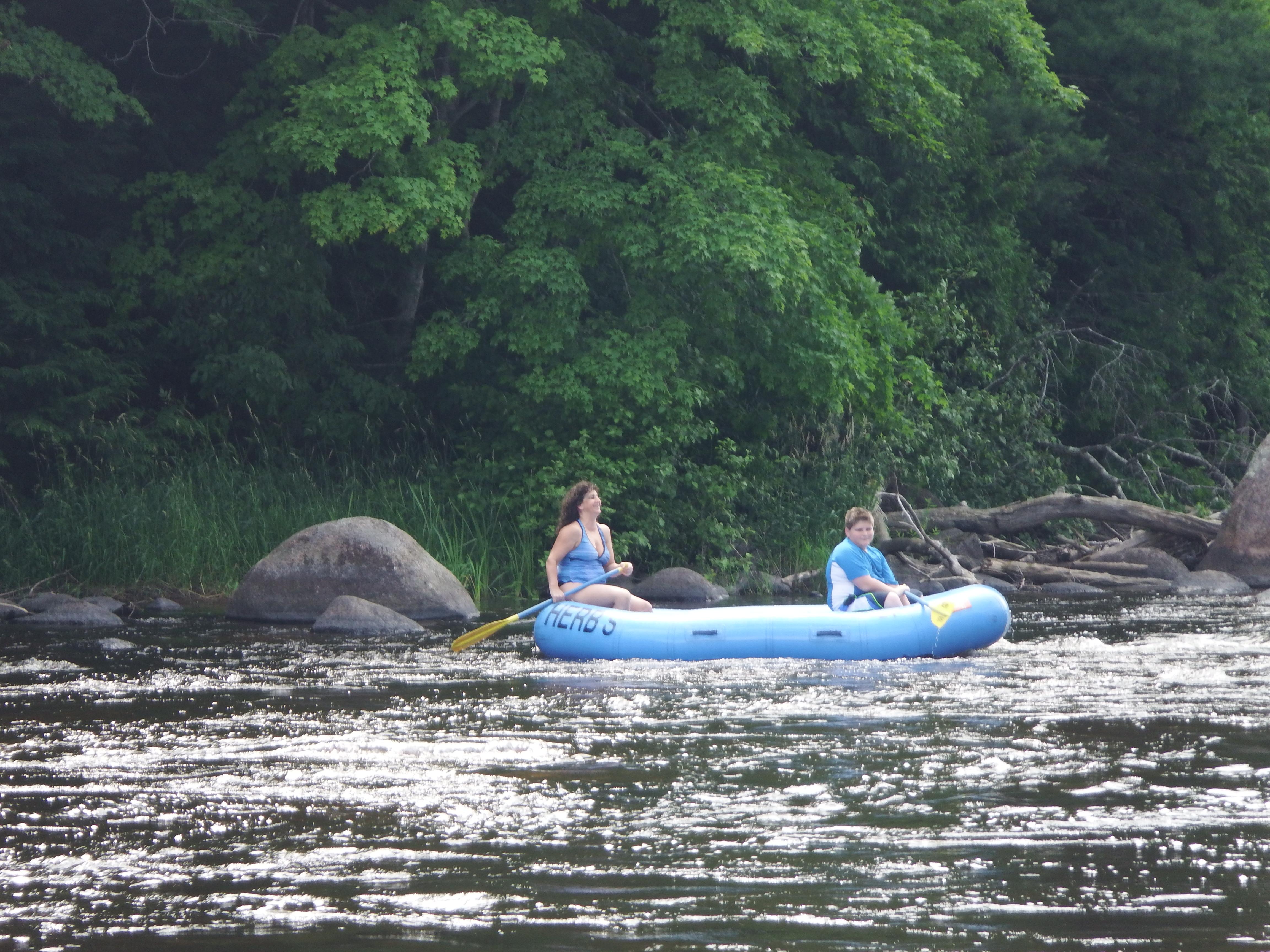
This is a beautiful stretch, starting with a low class II rapid, followed by flatwater and class I rapids. There are a few private cottages, but most of the adjacent property is owned by the state DNR. Roadside access is easy and convenient, with gravel parking areas at the County Highway A put-in and the Highway 52 take-out.
Wendigo Rapid is located at the put-in on County Highway A. About 1/4 mile long, this is a boulder garden rapid, and can be frustrating at lower water levels. Following Wendigo is a 6-mile quietwater stretch inhabited by eagles, heron, otter, deer, mink and beaver. Wildlife is abundant as the stretch is not heavily traveled.
Just before Military Park (an alternate take-out at the 7 mile mark), you'll find a series of Class I rapids and moving water. The river narrows and passes through a cedar grove.
Past Military Park are more Class I rapids (called Overton Rapids), continuing for about one mile.
The take-out is at Lily Bridge, on Hwy 52.
For more information: _Paddling Northern Wisconsin_, by Mike Svob, Wisconsin Trails Press, Madison, WI.
Difficulty
Class I-II
Length
10.6 mi
Gradient
8 ft/mi
max 27
Rapids
6
Access Points
Difficulty Classes
I Easy
II Novice
III Intermediate
IV Advanced
V Expert/Extreme
VI Unrunnable
Current Conditions
5-Day Forecast
Whitewater data from
American Whitewater
American Whitewater