A) Delavan to Hwy.140 (PnP or up to 19 miles)
Gauge Conditions
Runnable: 100.0 – 400.0 CFS
Likely too low for any whitewater play. River may be floated, but expect to scrape in numerous places.
Data from American Whitewater & USGS
Run Map
Run Time Estimate
Select put-in and take-out to estimate time.
Plan This Trip
See wind-adjusted speed maps, forecast planning, and detailed time estimates.
Sign in to generate an AI timing estimate for this run.
Whitewater timing varies with scouting, portages, and group pace. Use as a planning baseline.
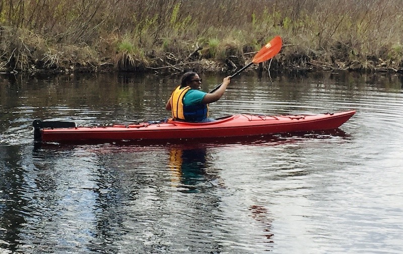
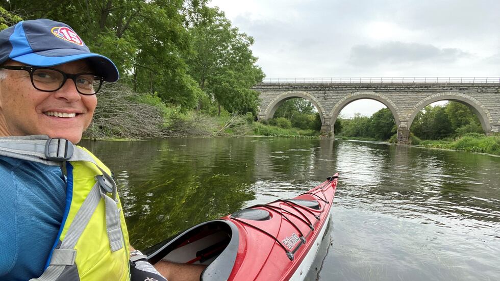
Description
This run will be interesting mostly as a scenic, rural float trip with a few shoals, riffles, and rips. Some locations may offer minor whitewater (possible 'park-and-play' opportunities -- scroll down for the 'Rapids' list below; also check the "Map" tab for locations), but serious whitewater boaters should probably look to other listed rivers.
Rapids in this Run (4)
Playspots (3)

Hazards & Portages (1)
Caution: The following locations may require scouting or portaging. Always check current conditions.
Difficulty
Class I(II)
Length
19.1 mi
Rapids
4
1 Hazard
Access Points
Shuttle Info
Very few whitewater boaters are likely to opt to run the entire length of river detailed here. Various access points are available to check out shorter runs and/or to access possible playspots.
Use the text entry box below to enter your home or other starting address to get drive time, distance and directions to the listed put-in for this reach.
Difficulty Classes
I Easy
II Novice
III Intermediate
IV Advanced
V Expert/Extreme
VI Unrunnable
Current Conditions
5-Day Forecast
Whitewater data from
American Whitewater
American Whitewater