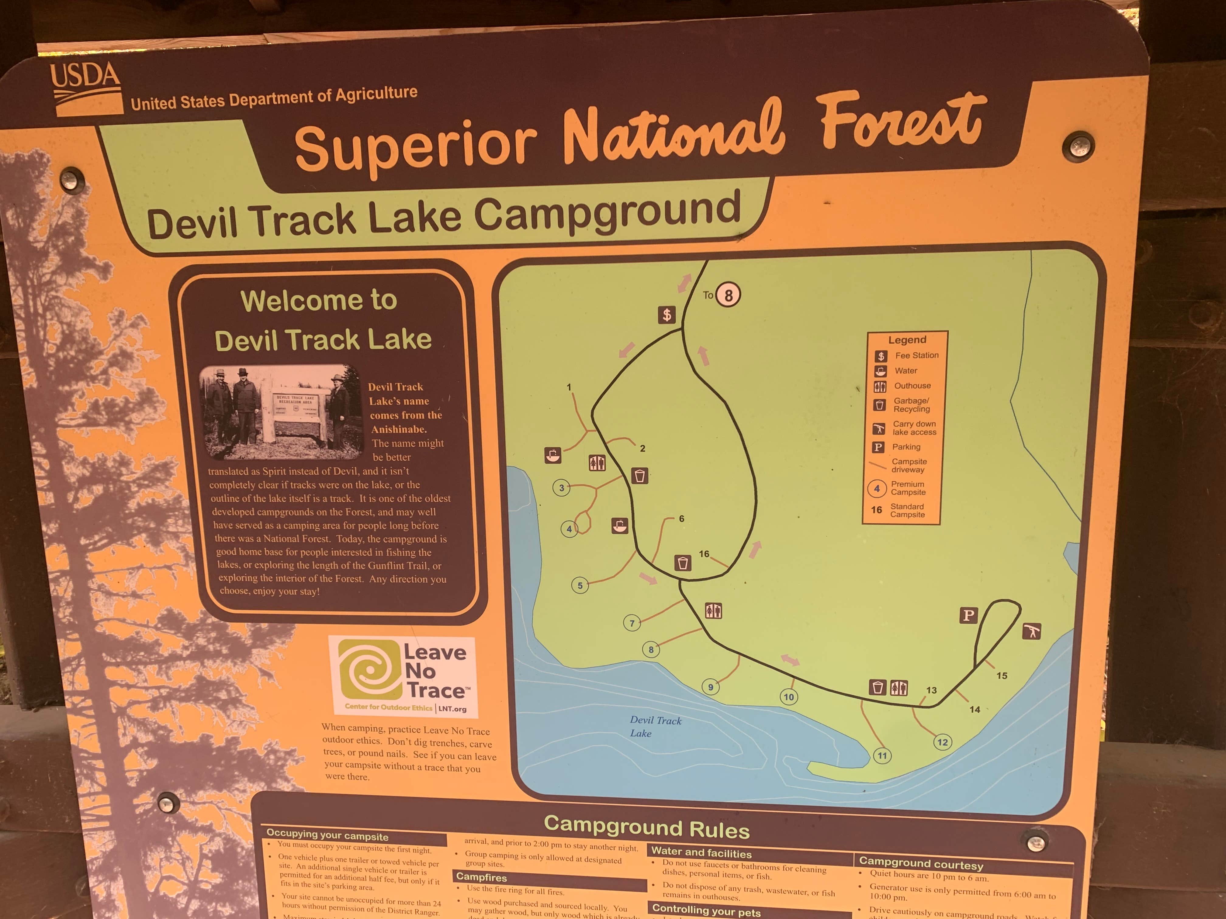
A) Devil Track Lake to Maple Hill (3.2 miles)
Gauge Conditions
Runnable: ? – ? CFS
Approximate reading: This gauge is 8.1 miles away on Devil Track. Use as a general reference only.
Data from American Whitewater & USGS
Run Map
Description
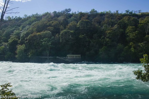
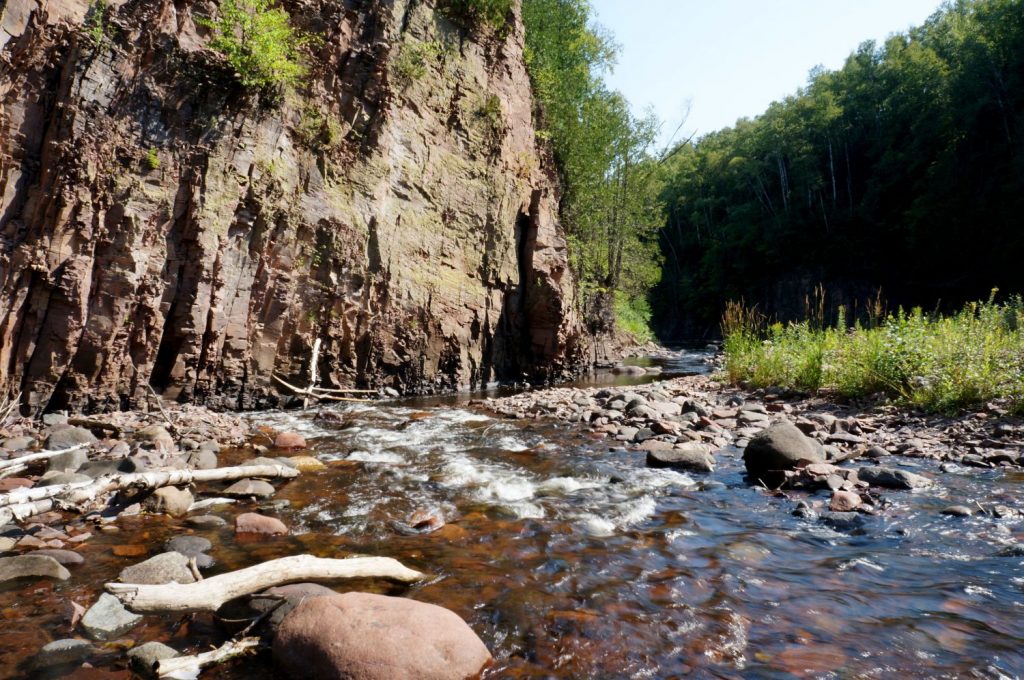
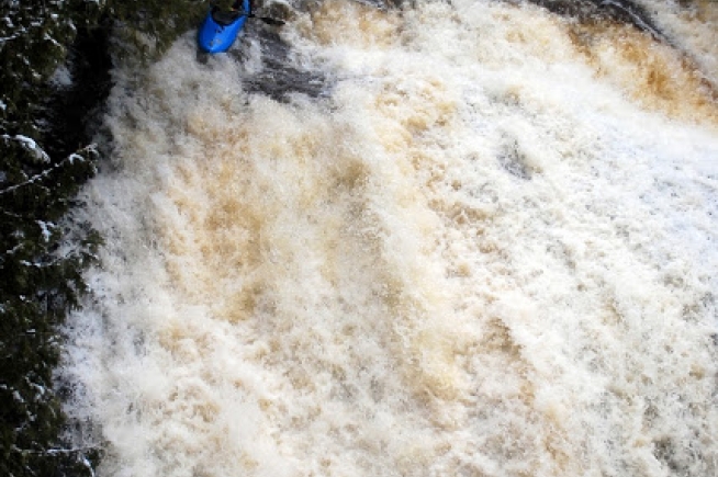
Putting in below Devil Track Lake (off Hwy.8), the first 0.75 mile is swift water and a couple areas of ponding, until the main gradient begins. Areas with snags are likely to be encountered (with a couple quick "scramble-for-an-eddy and portage" spots), but otherwise an absolutely gorgeous paddle, past red-rock walls, through almost continuous class II (+/-) all the way to the take-out at CR60. Gradient (after the first 0.75 mile) ranges from 50-70 FPM (full-mile values), and even the steepest quarter-mile does not exceed 90FPM equivalent. That said, make certain not to miss the take-out or you will be into the class IV-V section!


Difficulty
Class II-III
Length
3.1 mi
Gradient
53 ft/mi
max 72
Rapids
7
Access Points
Difficulty Classes
I Easy
II Novice
III Intermediate
IV Advanced
V Expert/Extreme
VI Unrunnable
Current Conditions
5-Day Forecast
Whitewater data from
American Whitewater
American Whitewater