A) E7178 (Elm Lane) to Ramsay (Mill St, Old US2) (6.0 miles) Scenic
Gauge Conditions
Runnable: 300.0 – 2,000.0 CFS
Uncertain. Help us out by posting a comment about boatable flows.
Data from American Whitewater & USGS
Run Map
Put-in
Take-out
Rapids/Hazards
Scenic
Run Time Estimate
Select put-in and take-out to estimate time.
Plan This Trip
See wind-adjusted speed maps, forecast planning, and detailed time estimates.
Sign in to generate an AI timing estimate for this run.
Whitewater timing varies with scouting, portages, and group pace. Use as a planning baseline.
Description
Quick Facts:
Location: 6.5 miles ESE of Ironwood/Hurley.
Shuttle Length: 7.8 miles. (See details in "Directions" Tab.)
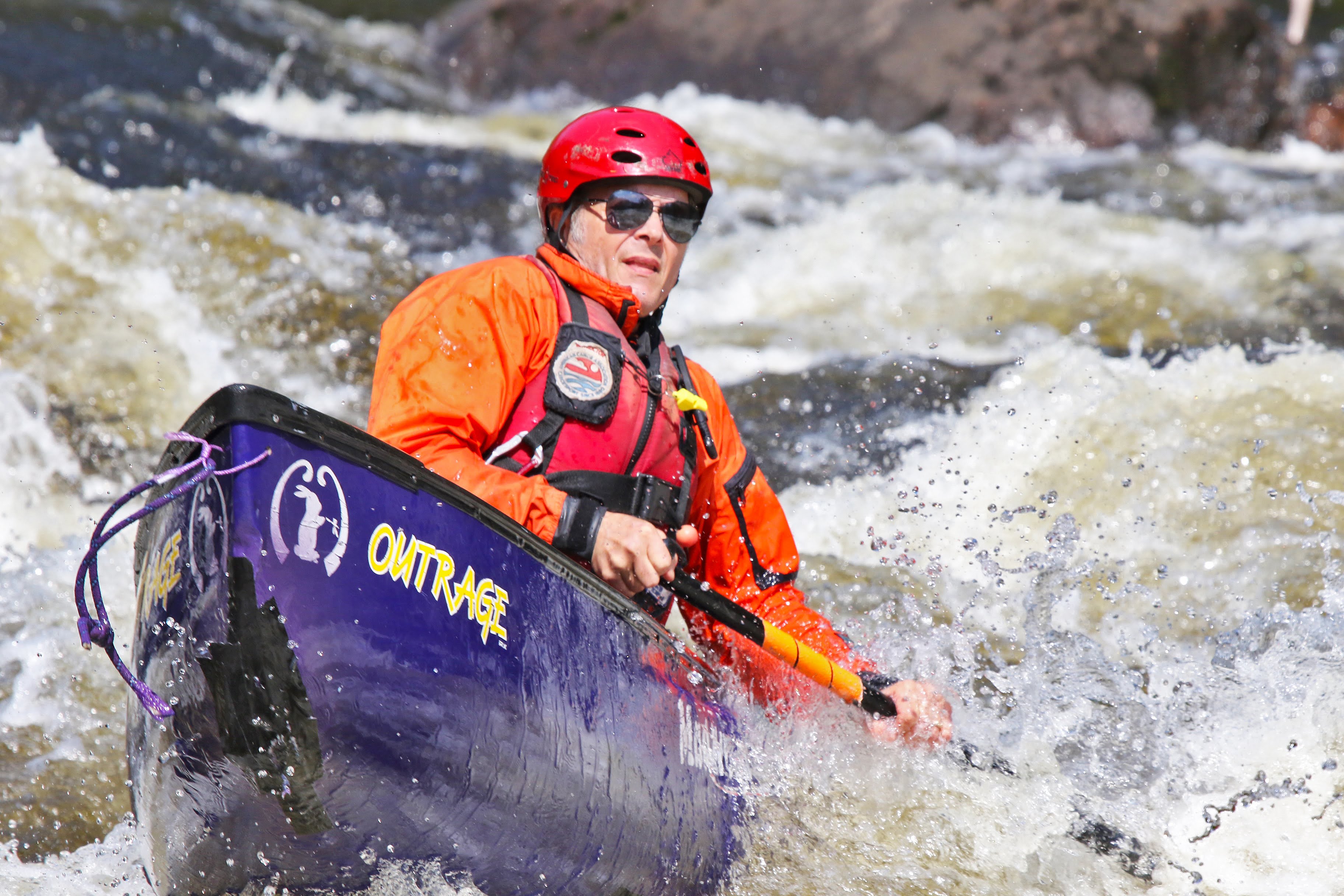
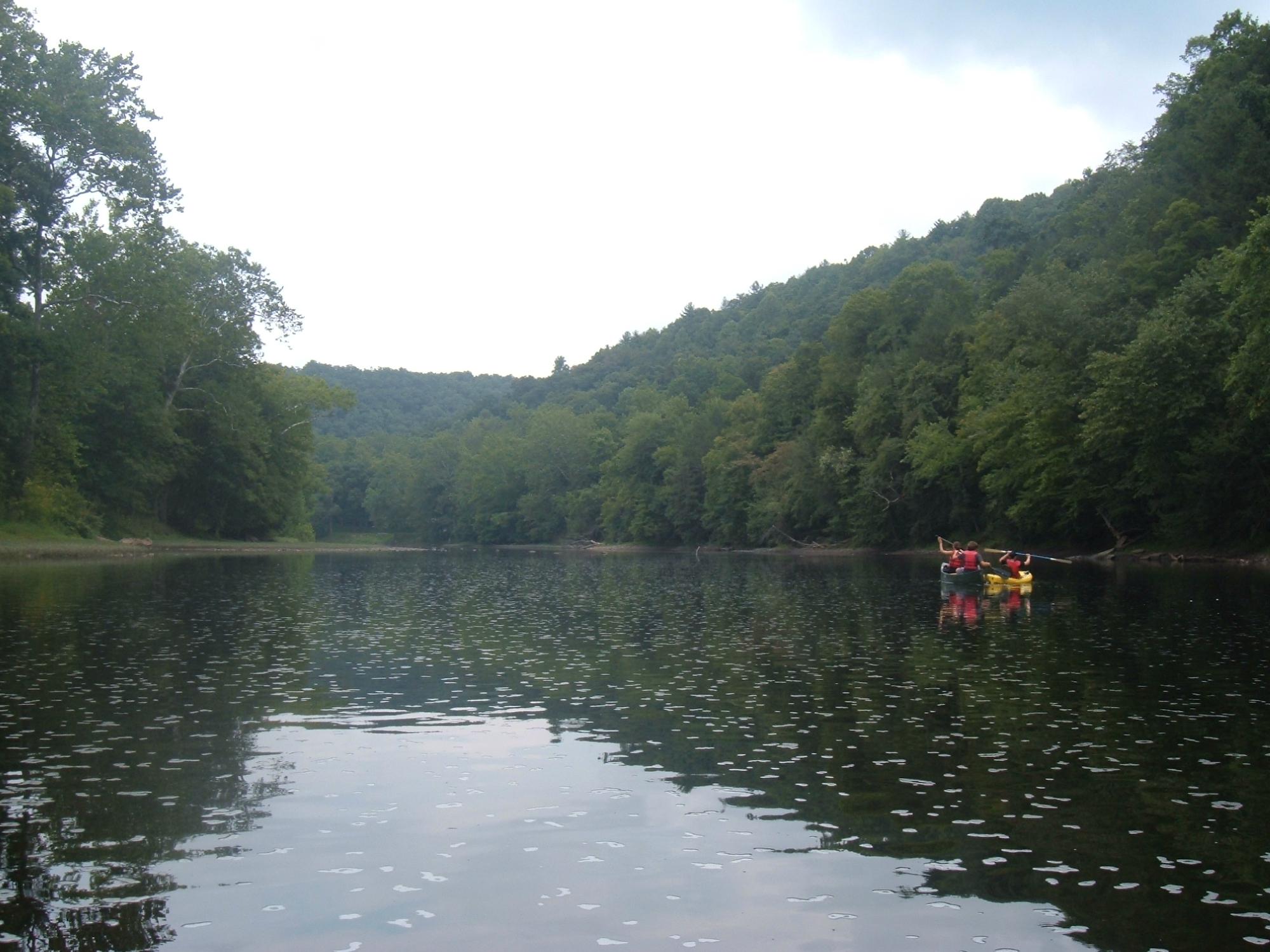
Character: Quiet northwoods float, punctuated by a class II drop and maybe a few light rapids.
Put-in is approximately 1475' elevation.
Take-out is approximately 1384' elevation.
Thus total elevation change is approximately 92'.
This reach is mostly a backcountry float, consisting of (very few) class I and II rockbed rapids interspersed with moving and quietwater. Granite Falls, a class II rapid, is the biggest drop. Access at this point is possible for a shorter trip if so desired. This knocks off 1.87 miles. (Coordinates: 46.4353N, 90.0321W)
Rapids in this Run (5)
Playspots (1)
Difficulty
Class I(II)
Length
5.7 mi
Gradient
15 ft/mi
max 26
Rapids
5
Access Points
Difficulty Classes
I Easy
II Novice
III Intermediate
IV Advanced
V Expert/Extreme
VI Unrunnable
Current Conditions
5-Day Forecast
Whitewater data from
American Whitewater
American Whitewater