A) Gordon Dam to Riverside Landing (23.3 miles)
Gauge Conditions
Runnable: 1,000.0 – 3,000.0 CFS
Estimated range. Provide a comment if you have additional information on preferred flows.
Data from American Whitewater & USGS
Run Map
Run Time Estimate
Select put-in and take-out to estimate time.
Plan This Trip
See wind-adjusted speed maps, forecast planning, and detailed time estimates.
Sign in to generate an AI timing estimate for this run.
Whitewater timing varies with scouting, portages, and group pace. Use as a planning baseline.
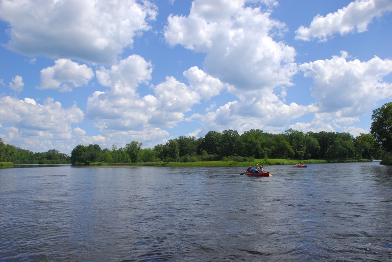
Description
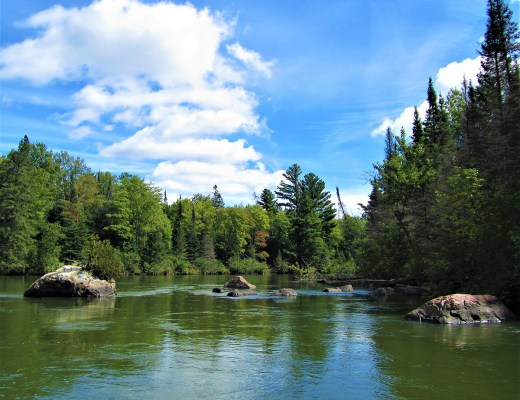
The St. Croix was designated as one of the eight original _Wild and Scenic Rivers_ in 1968.
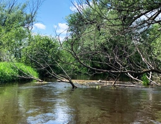
Formal access points are provided every few miles at bridge crossings and parks along the river, some of which provide overnight camping. Despite the number of access points that make it easy to customize a trip to fit your skills and time avaialable, the river still retains its wild character. Along the river designated camp sites (small 8 person sites and large 16 person sites) serve river runners with fire rings and pit toilets. The available campsites can get full on summer weekends.
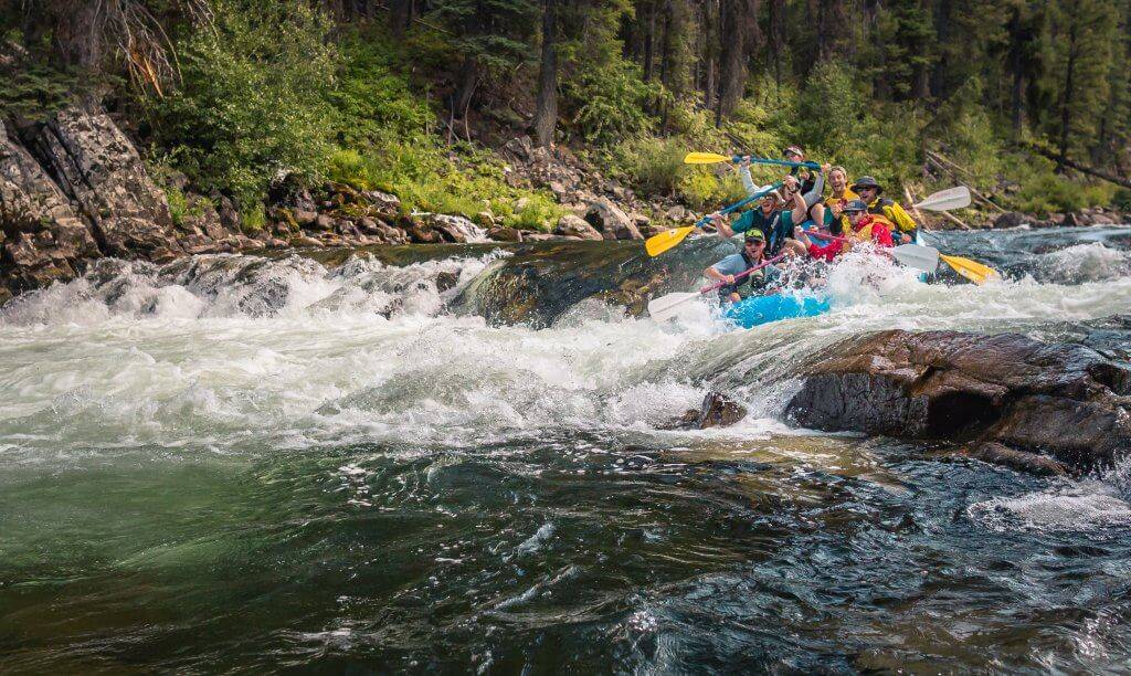
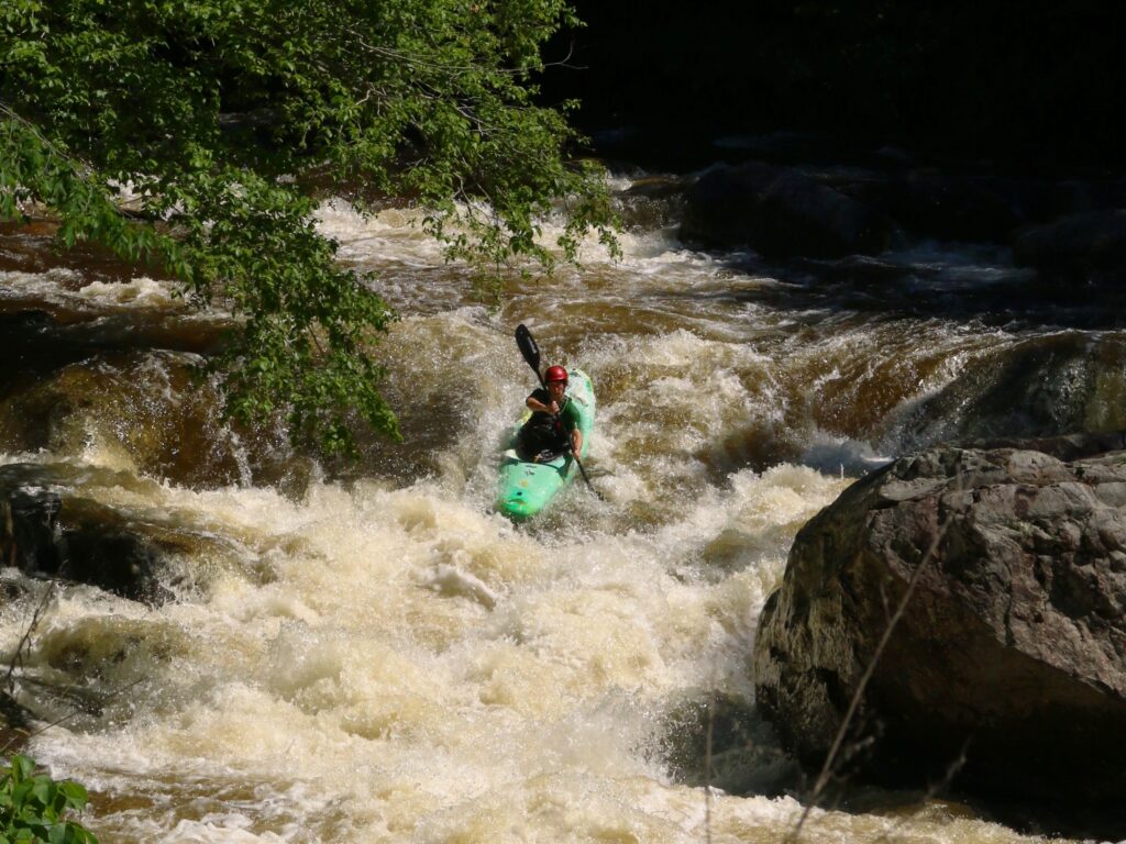
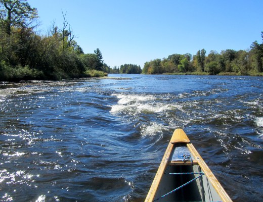
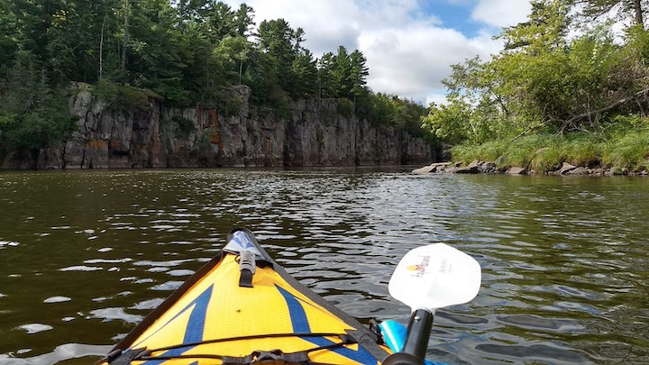
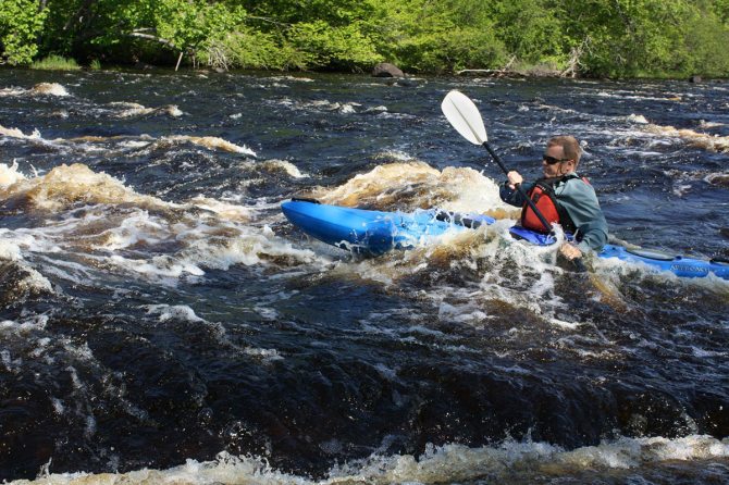
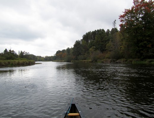
Most paddlers use open canoes for trips on the river and while much of the run is flatwater there are some easy class II rapids that require manuvering. The river is administered by the National Park Service which provides additional information on rules and regulations along with detailed maps and advice on how to enjoy your trip:
National Park Service: St. Croix National Scenic Riverway
Rapids include:
_Scout Chute_
_Scott Rapids_
_Copper Mine Sluice Dam_ (Caution, there may be spikes in the old timbers which form this sluice.)
_Bear Trap_
_Eagle Drop_
_Big Fish Trap_
_Little Fish Trap_
(as well as a host of unnamed riffles and rips).
Drainage area at Grodon Dam is approximately 253 sq.mi. (as calculated via USGS StreamStats Beta software). At CCC Bridge, drainage has increased to ~419 square miles.


Difficulty
Class I-II
Length
23.4 mi
Rapids
11
Access Points
Difficulty Classes
I Easy
II Novice
III Intermediate
IV Advanced
V Expert/Extreme
VI Unrunnable
Current Conditions
5-Day Forecast
Whitewater data from
American Whitewater
American Whitewater