A) Great Meadow to Wooden Bridge (7.4 miles)
Gauge Conditions
Runnable: ? – ? CFS
Approximate reading: This gauge is 10.7 miles away on Rock Creek (Cumberland trib). Use as a general reference only.
Data from American Whitewater & USGS
Run Map
Run Time Estimate
Select put-in and take-out to estimate time.
Plan This Trip
See wind-adjusted speed maps, forecast planning, and detailed time estimates.
Sign in to generate an AI timing estimate for this run.
Whitewater timing varies with scouting, portages, and group pace. Use as a planning baseline.
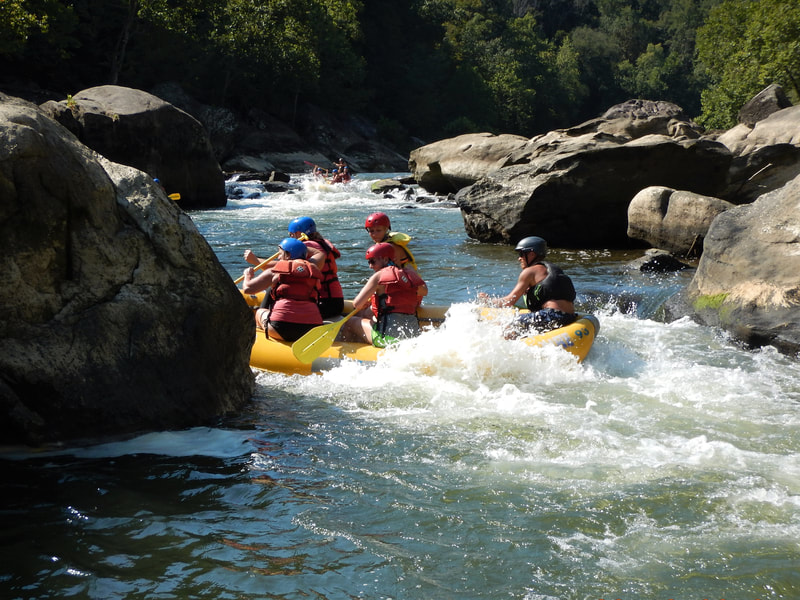
Description
Runnable with a lot of rain.
We really need more input on this one! If you can help out, either use the "Add a Comment" button below (which should appear for all registered, logged-in users), add a report (preferably with photo(s)/video(s) of features especially at runnable flows) or send an email to the address(es) listed on the "Credits & Network" tab.


Difficulty
Class II
Length
7.4 mi
Rapids
5
Access Points
Difficulty Classes
I Easy
II Novice
III Intermediate
IV Advanced
V Expert/Extreme
VI Unrunnable
Current Conditions
5-Day Forecast
Whitewater data from
American Whitewater
American Whitewater