a) Hayes Arboretum Road to Test Road (5.8 miles)
Gauge Conditions
Runnable: 400.0 – 3,200.0 CFS
Almost certainly too low for any whitewater. (Likely under 100 cfs on E.Fk. before Richmond.)
Data from American Whitewater & USGS
Run Map
Run Time Estimate
Select put-in and take-out to estimate time.
Plan This Trip
See wind-adjusted speed maps, forecast planning, and detailed time estimates.
Sign in to generate an AI timing estimate for this run.
Whitewater timing varies with scouting, portages, and group pace. Use as a planning baseline.
Description
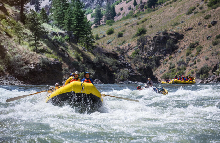
Fair gradient should make for a pleasant swiftwater float.
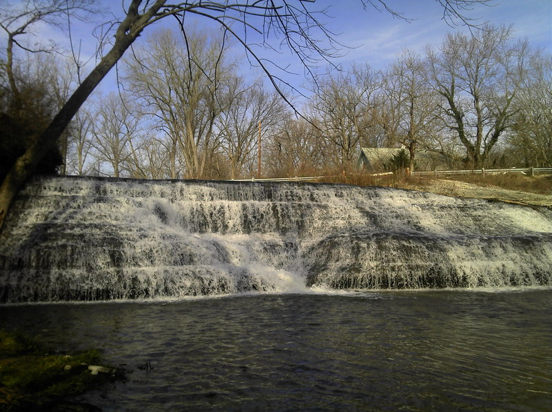
While in the area, check out nearby Thistlewaite Falls, which is not a natural falls, but was created by the damming of the river, causing it (at overflow) to pour across a picturesque scalloped-rock falls.
The various weirs and dams in this area should all be inspected (at each different water level) to carefully assess the character of the boil line. Some may create very interesting and fun play at the right levels (if there is not a river-wide rolling boil-line), or extreme danger (if there is a deep rolling boil). If you are not experienced enough to fully understand the difference, PORTAGE, taking out well upstream, and putting in well downstream from low-head dams to avoid their deadly undertow.
Some photos and description of sites in this area is available at: Gorge Trail.
Rapids in this Run (4)
Waterfalls (1)
Playspots (1)
Hazards & Portages (4)
Caution: The following locations may require scouting or portaging. Always check current conditions.
Difficulty
Class I(IV)
Length
6.0 mi
Gradient
17 ft/mi
max 20
Rapids
4
4 Hazards
Access Points
Difficulty Classes
I Easy
II Novice
III Intermediate
IV Advanced
V Expert/Extreme
VI Unrunnable
Current Conditions
5-Day Forecast
Whitewater data from
American Whitewater
American Whitewater