A) Hi-0 Silver: unnamed road to Silver Road (2.2 to 8 miles)
Gauge Conditions
Runnable: ? – ? CFS
Approximate reading: This gauge is 9.2 miles away on Silver. Use as a general reference only.
Data from American Whitewater & USGS
Run Map
Run Time Estimate
Select put-in and take-out to estimate time.
Plan This Trip
See wind-adjusted speed maps, forecast planning, and detailed time estimates.
Sign in to generate an AI timing estimate for this run.
Whitewater timing varies with scouting, portages, and group pace. Use as a planning baseline.
Description
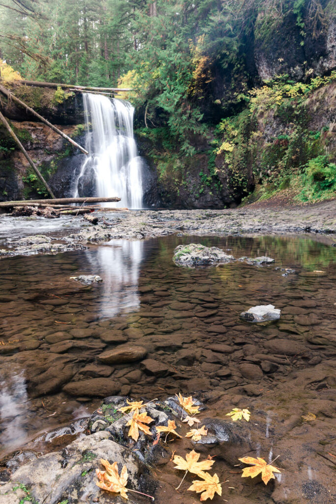
If the rivers in the L'Anse area are running a tad too high, you may be looking for something in the upper parts of drainage areas. This may fit the bill (if the access roads are passable). The main action (and the steepest mile) is just downstream of the listed put-in. Gradient peters out quickly after the first mile-and-a-half, so it is likely that boaters will opt for a take-out short of the full reach.
Specifically, the first full mile drops about 232 FPM. (The first half-mile drops the equivalent of 250FPM, the second half-mile about 215FPM equivalent.) The second full mile, gradient eases to about half of that (~115 FPM). Overall gradient from 1.5 miles to the end of the listed run is about 25-30 FPM. So, there will be lots of easy cruising (if it is not too snag filled), with a good assortment of random decent features, and ending with some great action just above the normal put-in for the "Upper Silver" run.
Rapids in this Run (3)
Difficulty
Class II-IV+
Length
6.3 mi
Gradient
60 ft/mi
max 230
Rapids
3
Access Points
Shuttle Info
As entioned in the description, it is likely boaters may opt to do a shorter section consisting of the steepest gradient, thus would not use these shuttle directions. However, if/when doing the full run (or continuing downriver from there!), the shuttle will be in excess of a half-hour (each way). We highly recommend meeting at your take-out, gearing up, swapping boats and boaters to as few vehicles as possible (to leave 'drop vehicles' there), then driving to put-in to run river. This gets you on water without the delay which would result from meeting at put-in, having to run shuttle down and back up (while some boaters wait a full hour or more) before putting on river!
Difficulty Classes
I Easy
II Novice
III Intermediate
IV Advanced
V Expert/Extreme
VI Unrunnable
Current Conditions
5-Day Forecast
Whitewater data from
American Whitewater
American Whitewater