A) Norwich Rd to Victoria Falls Dam (13.4 miles) Recreational
Gauge Conditions
Runnable: 200.0 – 1,500.0 CFS
Unlikely to be worthwhile whitewater. (Unconfirmed. We need your input. Add a comment or report regarding best flows.)
Data from American Whitewater & USGS
Run Map
Put-in
Take-out
Rapids/Hazards
Recreational
Run Time Estimate
Select put-in and take-out to estimate time.
Plan This Trip
See wind-adjusted speed maps, forecast planning, and detailed time estimates.
Sign in to generate an AI timing estimate for this run.
Whitewater timing varies with scouting, portages, and group pace. Use as a planning baseline.
Description
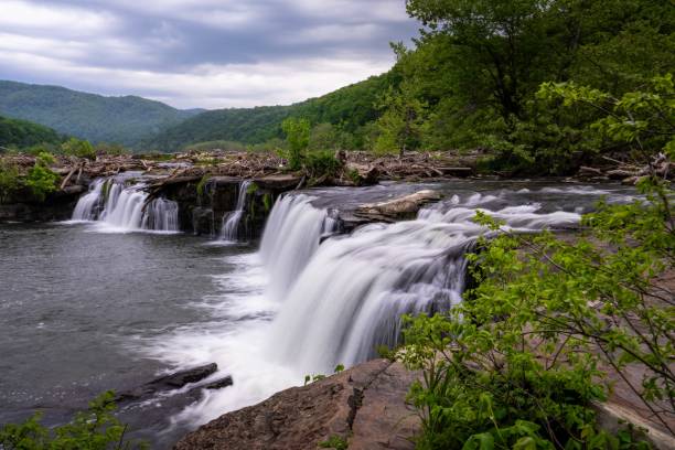
We have very little information on the whitewater available on this run. Satellite map views are quite good, so you may wish to go to the "Maps" tab, click for the satellite view, zoom in to nearly maximum resolution and do a 'digital walk' down the river.
The final two miles of the run will be a paddle out on Victoria Falls reservoir.
Rapids in this Run (2)
Waterfalls (1)
Difficulty
Class I-III
Length
13.6 mi
Gradient
10 ft/mi
max 32
Rapids
2
Access Points
Difficulty Classes
I Easy
II Novice
III Intermediate
IV Advanced
V Expert/Extreme
VI Unrunnable
Current Conditions
5-Day Forecast
Whitewater data from
American Whitewater
American Whitewater