A) Williamston, McCormick Park (0.1 miles)
Gauge Conditions
Runnable: 250.0 – 3,000.0 CFS
Probably too low to provide any reasonable whitewater experience. (We welcome your comments if you have experience at these flows.)
Data from American Whitewater & USGS
Run Map
Interactive run map
Loads as you approach this section.
Run Time Estimate
Select put-in and take-out to estimate time.
Plan This Trip
See wind-adjusted speed maps, forecast planning, and detailed time estimates.
Sign in to generate an AI timing estimate for this run.
Whitewater timing varies with scouting, portages, and group pace. Use as a planning baseline.
Description
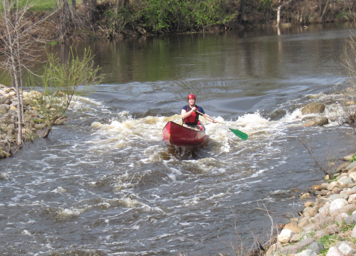
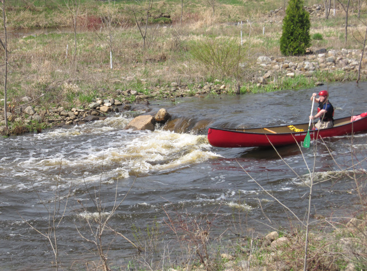
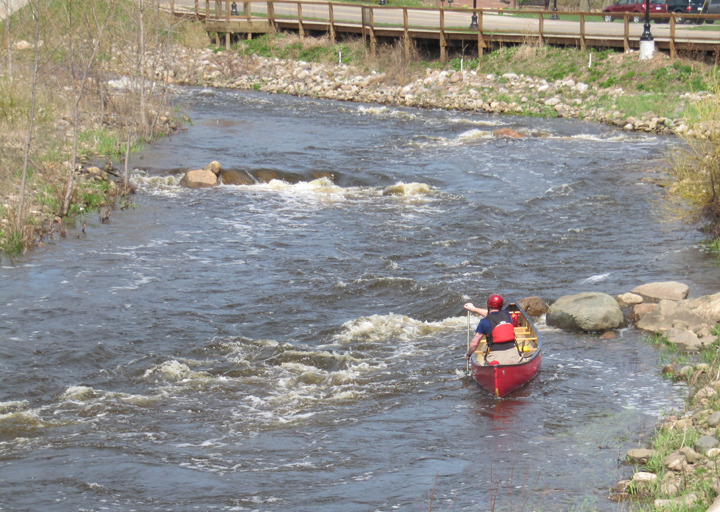
A project at the site of a former dam has created a short stretch of tame but playable whitewater for boaters in the immediate area. (Anyone who has to drive any distance to here is likely to be underwhelmed.) This is a good place for beginning boaters to practice in moving water.
Put-in from a park on the south shore (river-left) just east of the bridge. There is a public restroom for changing.
Take-out on the south shore (river-left) just west of the bridge. A boardwalk (connecting from the bridge to the end of the run) can be used to hike back up to the put-in.
Rapids in this Run (4)

Difficulty
Class II
Length
0.1 mi
Rapids
4
Access Points
Shuttle Info
Since this is a 'park-and-play', directions shown below have been set to show the drive from your default zip-code. You can use the text entry box to input your home or other starting location to get more specific drive time, distance, and directions to this location.
Difficulty Classes
I Easy
II Novice
III Intermediate
IV Advanced
V Expert/Extreme
VI Unrunnable
Current Conditions
5-Day Forecast
Whitewater data from
American Whitewater
American Whitewater