above Neopit millpond to Wolf River (16 miles) ** ACCESS ISSUES **
Gauge Conditions
Runnable: ? – ? CFS
Approximate reading: This gauge is 6.6 miles away on Wolf. Use as a general reference only.
Data from American Whitewater & USGS
Run Map
Interactive run map
Loads as you approach this section.
Run Time Estimate
Select put-in and take-out to estimate time.
Plan This Trip
See wind-adjusted speed maps, forecast planning, and detailed time estimates.
Sign in to generate an AI timing estimate for this run.
Whitewater timing varies with scouting, portages, and group pace. Use as a planning baseline.
Description
#### IMPORTANT!
This reach lies entirely within Menominee tribal lands. It is NOT LEGAL for all non-members of the Menominee Tribe to paddle or explore the drops described here. Driving any 'Indian Roads' may also not be permitted. If in doubt in Menominee County, stick to paved roads (state and county highways within the reservation). Arrest and conviction on trespassing charges in Menominee county _may_ result in fine, imprisonment, and confiscation of materials used in the act of trespass up to and including vehicles!
This reach is included on the AW inventory for the sake of completeness and (more so) as a warning regarding exploring these areas.
* * *
While paddlers know the popular Wolf River quite well, it's West Branch is almost an unknown due to the restrictions placed upon non-Menominee tribal members within tribal land. The information contained below has been obtained through interpretation of available data and conversation with Menominee tribal members.
Top West Branch - 0.4 mile
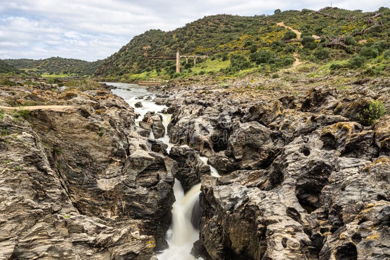
From spring fed headwaters near Elton, the West Branch meanders through forested (and at times marshy) lands before encountering gradient a short distance above Neopit Millpond. Through a series of small falls and cascades, the river drops 48' in 0.4 miles here for an equivalent gradient of 120'/mile. River size here should be roughly equivalent to that of the _Red River_ at River Road. _(Note: our listed hypothetical 'put-in' has no apparent road or path, and is merely a marker of the beginning of the significant gradient here.)_
Upper West Branch - 9.0 miles
Below the Neopit Dam, the West Branch becomes similiar to _Section 4 of the Wolf_ in that there are short, abrupt sections of gradient interspersed with longer quietwater sections. There is a rapid noted on the topos at 1.3 miles from Neopit, likely low grade boulderbed. At 2.3 miles is Rainbow Falls, where the river drops at least 20' abruptly. This has been described as 'bigger and scarier' than Big Smoky Falls on Section 4 of the Wolf. An older photograph indicated a dome-type drop. The next two miles drop at a rate of 20'/mile which should indicate some boulder bed rapids. Peavey Falls (4.1 miles), a ledge of perhaps 4', comes at the end of this section. There are three miles of relatively low gradient to the west bridge of Crow Settlement Road at 5.0 miles. Rapids are noted on the topo map at 7.3 miles, the river drops approximately 22' in the next mile. The east bridge of Crow Settlement Rd. is at 9.0 miles.
Lower West Branch - 5.5 miles
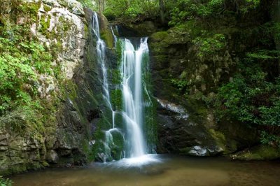
From the east bridge of Crow Settlement Rd., there is 0.9 miles of generally quietwater to the start of Crow Rapids. The river constricts here and drops 30' in 0.2 miles through a winding rapids. The following 1.5 miles are lower gradient with a rapid indicated on the topos at 2.6 miles (from east bridge). Gradient increases somewhat in the next mile to Bear Trap Falls (3.5 miles). Bear Trap is a broken ledge of 5' with a large boulder (the 'trapped bear') under the curtain at one point. The West Branch Rd. bridge crosses at 4.2 miles. There is one more drop noted, Wayka Falls (5.2 miles), before the confluence with the Wolf at 5.5 miles.
Some tribal history and photos (including a few good shots of Bear Trap falls) are available on their website: _Menominee Indian Tribe of Wisconsin_.
Again, it is important to understand that many sites (on river and off) have sacred significance to tribal members.
Your mere presence would be akin to defiling the altar of a church.
Please, respect the tribal history and sensitivities!
Rapids in this Run (11)
Rapid
USGS sampling site; DS Neopit Dam
Rapid
USGS sampling site; IR110/Big Jim Zoar Rd
Rapid
BIA Rte.26 / Camp 24 Road
Rapid
(apparent ledge)
Rapid
(apparent rapids)
Rapid
BIA Rte.124
 Rapid
Rapid
Crow Rapids
Rapid
Confluence: Little West Branch Creek
Rapid
(apparent rapids)
Rapid
USGS Sampling site; West Branch Road / BIA Rte.39
Rapid
Wayka Falls
Difficulty
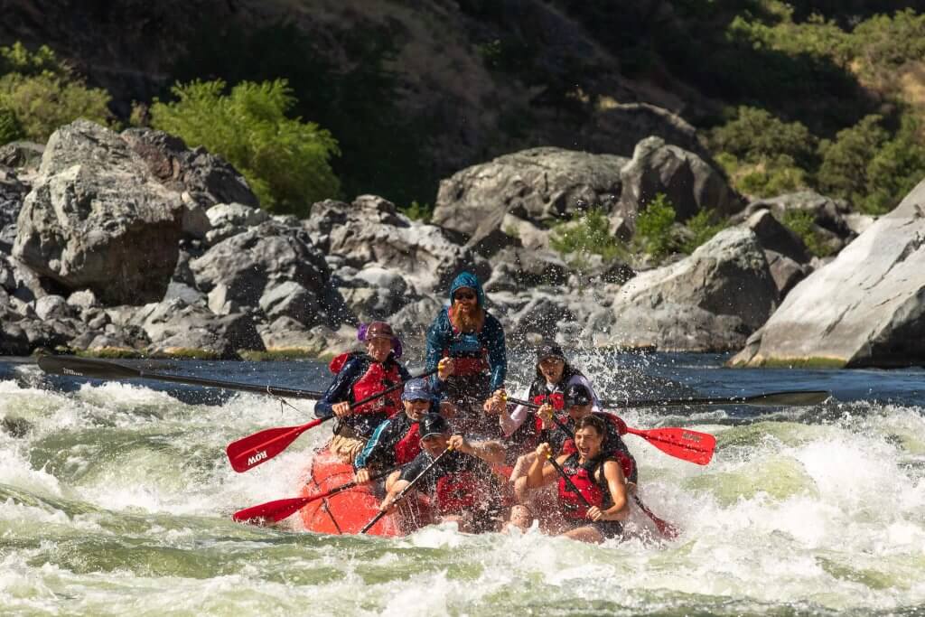
Class II-IV
Length
15.6 mi
Gradient
15 ft/mi
max 48
Rapids
11
Access Points
Shuttle Info
Reach lies wholly within Menomonee Tribal lands. Trespass is punishable by fines, jail time, and (up to) confiscation of all gear and tangible goods (your shuttle vehicle(s)) used in commission of the trespass.
Even driving tribal roads or getting out of your car and 'exploring' beyond the _immediate_ road shoulders could be found to be in violation of trespass laws.
It is therefore recommended that boaters ignore this shuttle information until or unless arrangements with the tribe can be made for access to this area. They have not been in any way interested in opening discussions about doing so, as they consider many of these areas _sacred_.
Difficulty Classes
I Easy
II Novice
III Intermediate
IV Advanced
V Expert/Extreme
VI Unrunnable
Current Conditions
5-Day Forecast
Whitewater data from
American Whitewater
American Whitewater