above Shining Cloud Falls to Lake Superior (1.7 miles)
Gauge Conditions
Runnable: ? – ? CFS
Approximate reading: This gauge is 7.0 miles away on Carp (Porkies). Use as a general reference only.
Data from American Whitewater & USGS
Run Map
Description
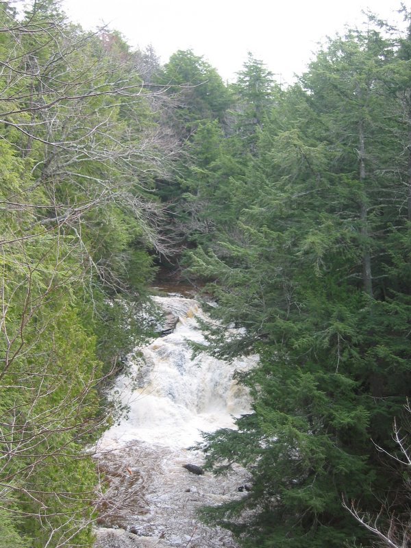
For the 'hard core' explorers only. There is no road access from either end. For this reason, this river is seldom run.
You have a number of choices to access this run, none of them very enticing:
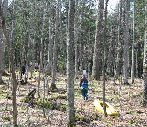
1) Park at Presque Isle Harbor, 6 mile paddle on Lake Superior (NE along shore) to the mouth of the river (GPS recommended to be sure you have the correct river mouth), hike 1.7 miles upriver to about 0.5 mile above Shining Cloud Falls, boat (and portage) the river, then 6 mile paddle on Lake Superior (SW along shore) back to Presque Isle Harbor.
2) Park at Lake of the Clouds (in Porcupine Mtn. State Park), 6? mile carry in (on park trails) to where the river is big enough to paddle, paddle and portage the river, paddle on Lake Superior (5 miles?) NE along shoreline (GPS recommended to be sure you have the right spot), hit the beach and hike 2.6 miles on a park trail back to Lake of the Clouds.
3) Shuttle/combo option. Carry in 6? miles as from option 2, and paddle out 6 miles as from option 1. This will necessitate a long shuttle (31.5 mile each way) from Lake of the Clouds to Presque Isle Harbor.
4) If one of the kayakers has a motorboat, (or a friend with one, who can be bribed and be very patient to wait): Park at Black River Harbor, load into the boat (likely need to have cockpit covers on the kayaks, and use rope(s) to tie them all behind the motorboat), motor about 10.5 miles (likely somewhat slowly with the kayaks in tow) to the mouth of the Carp, unload and hike up ('til wood gets too continuous), boat down, load up (and tie boat on) to motor back to Black River Harbor.
Rapids in this Run (8)
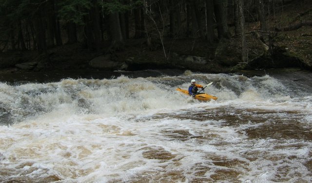
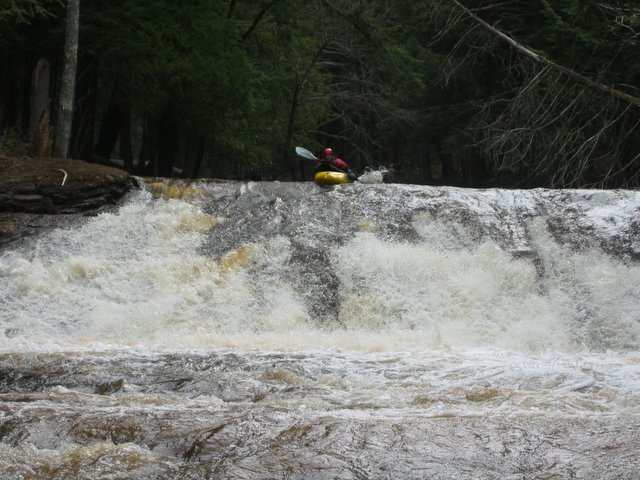
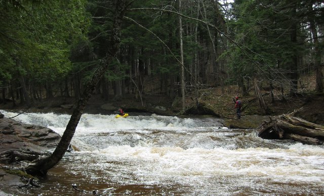
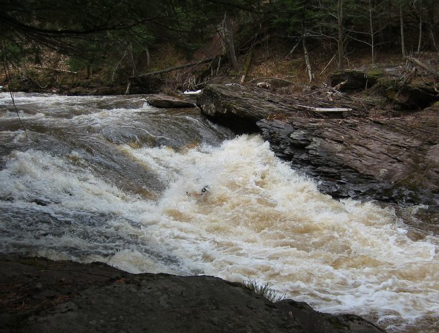
Waterfalls (1)
Difficulty
Class IV(V)
Length
1.7 mi
Gradient
149 ft/mi
max 194
Rapids
8
Access Points
Shuttle Info
Please ignore the map below. To the best of our knowledge, there is NO WAY to reach (by car) anywhere close to the put-in or the take-out of this reach. See the information in the River Info tab.
You can, however, use this page to enter your home address (or other starting location) to get directions from there to the vicinity of the river. Consult the 'Maps' tab for better actual details about the location of the run.
Difficulty Classes
I Easy
II Novice
III Intermediate
IV Advanced
V Expert/Extreme
VI Unrunnable
Current Conditions
5-Day Forecast
Whitewater data from
American Whitewater
American Whitewater