B) Boat Landing off Co.Hwy.110 to Forest Road 780 (6.75 or up to 18.7 miles)
Gauge Conditions
Runnable: ? – ? CFS
Approximate reading: This gauge is 1.2 miles away on St. Louis. Use as a general reference only.
Data from American Whitewater & USGS
Run Map
Run Time Estimate
Select put-in and take-out to estimate time.
Plan This Trip
See wind-adjusted speed maps, forecast planning, and detailed time estimates.
Sign in to generate an AI timing estimate for this run.
Whitewater timing varies with scouting, portages, and group pace. Use as a planning baseline.
Description
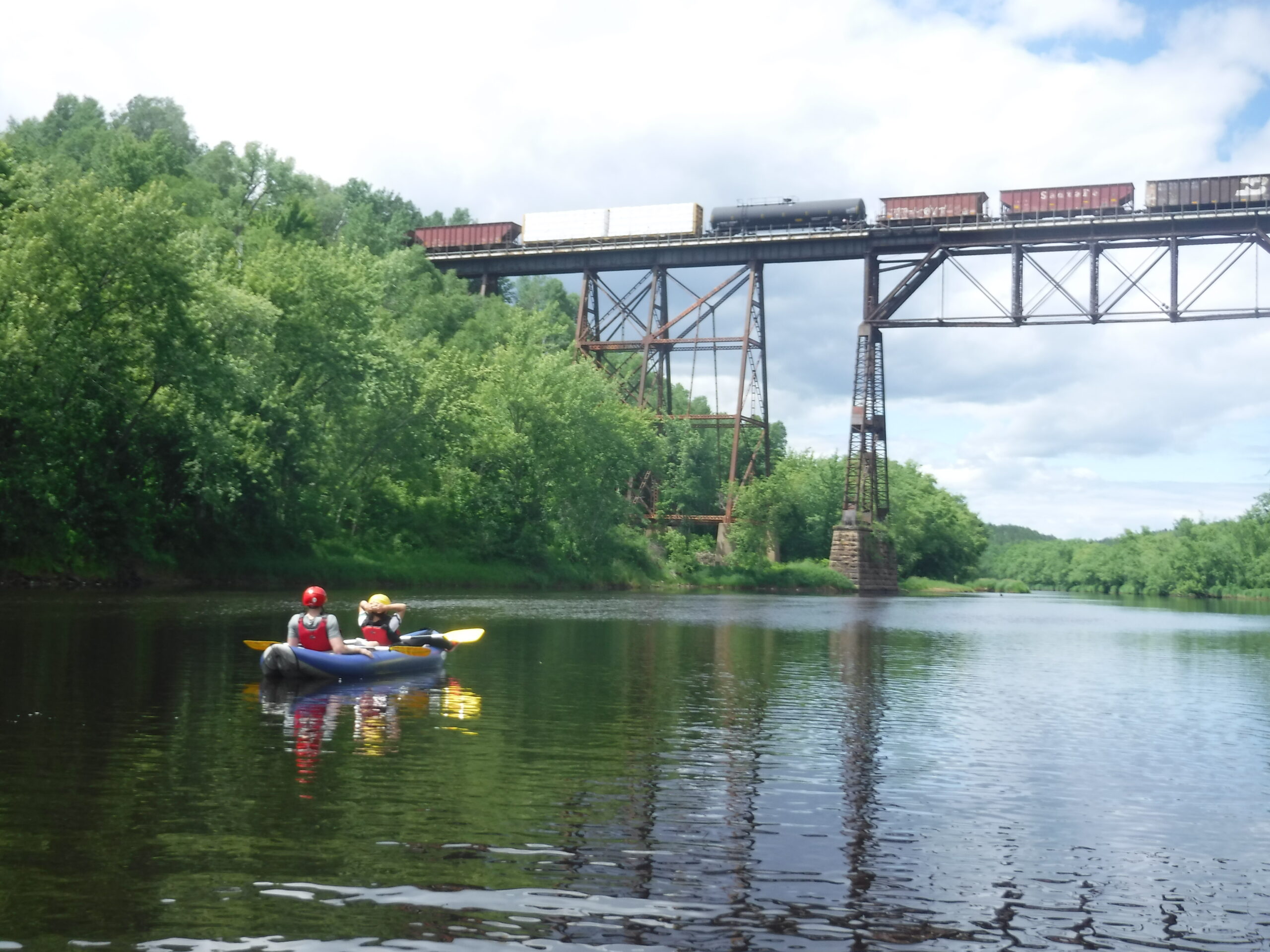
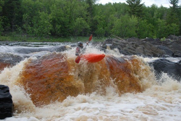
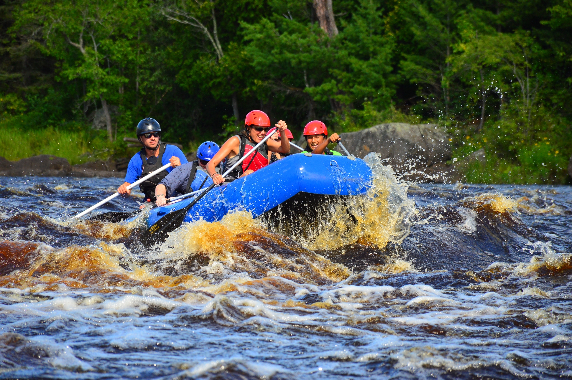
Another 'unknown' reach . . . marked rapids on the topo maps, on a stretch of river we have no other info regarding. Drainage area is sufficient for a fair number of days per year of runnable flows. Rapids appear to be generally low-grade (probably class II at good flows).
Note: The listed put-in and take-out appear to give the best 'bang for the buck' (most apparent rapids with least flatwater). Additional rapids may exist beyond those marked on topos. A longer trip may be chosen to continue to additional rapids, which have been marked on the map and listed in the 'Rapids' tab.
Have you seen this stretch or boated it? Please help out your fellow boaters with a comment or report with more details!
Rapids in this Run (11)
Rapid
Boat Landing
 Rapid
Rapid
Possible rockdam?
 Rapid
Rapid
marked rapids #1
 Rapid
Rapid
marked rapids #2
 Rapid
Rapid
marked rapids #3 (at 1490' contour)
Rapid
marked rapids #4
Rapid
Boat Ramp / Picnic Area
Rapid
marked rapids #5
 Rapid
Rapid
marked rapids #6 (at 1420' countour)
 Rapid
Rapid
marked rapids #7 (at 1410' contour)
 Rapid
Rapid
marked rapids #8
Difficulty
Class I-II
Length
6.6 mi
Rapids
11
Access Points
Difficulty Classes
I Easy
II Novice
III Intermediate
IV Advanced
V Expert/Extreme
VI Unrunnable
Current Conditions
5-Day Forecast
Whitewater data from
American Whitewater
American Whitewater