B) Foote Avenue to 770th Avenue (4.3 - 19.3 miles)
Gauge Conditions
Runnable: 100.0 – 750.0 CFS
Likely too low for actual whitewater experience.
Data from American Whitewater & USGS
Run Map
Run Time Estimate
Select put-in and take-out to estimate time.
Plan This Trip
See wind-adjusted speed maps, forecast planning, and detailed time estimates.
Sign in to generate an AI timing estimate for this run.
Whitewater timing varies with scouting, portages, and group pace. Use as a planning baseline.
Description
Quick Facts:
Location: West-Central Wisconsin, between Menomonie and River Falls.
Character: Tiny watershed with shoals and minor rapids.
Shuttle Length/DriveTIme: 4.4 miles/12 minutes. (See details in "Directions" Tab.)
Put-in elevation is approximately 920'.
Take-out elevation is approximately 878'.
Thus total elevation change is approximately 42'.
Drainage area at put-in : 64 square miles
Information (latitude, longitude, elevations, total drop, run length, shuttle length) all obtained from best extrapolation of data via the distance measuring tool from google.com/maps, USGS StreamStats, and other online resources.
IMPORTANT NOTE: Other sources may show differing values. All values should be merely for _general comparative purposes_. Relatively minor differences (even discrepancies up to 10-20% and more!) generally mean very little in the grand scheme of all things whitewater! Far more important than gradient and class/rating should be other less-quantifiable _'character factors'_ such as continuous versus pool/drop, wide-open routes versus constricted technical rapids, wide-channel with multiple routes versus narrow channel with essentially one route, gradual river banks versus rocky shores or steep-walled gorges, et cetera.
Never rely solely on class/rating to decide if you should run a river/rapids!
General Overview
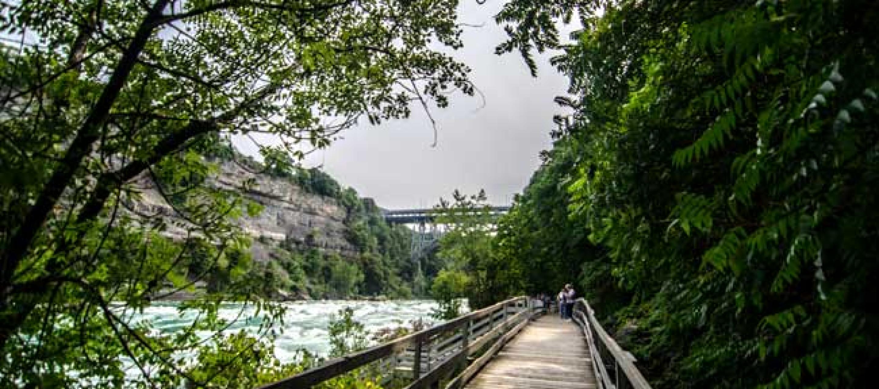
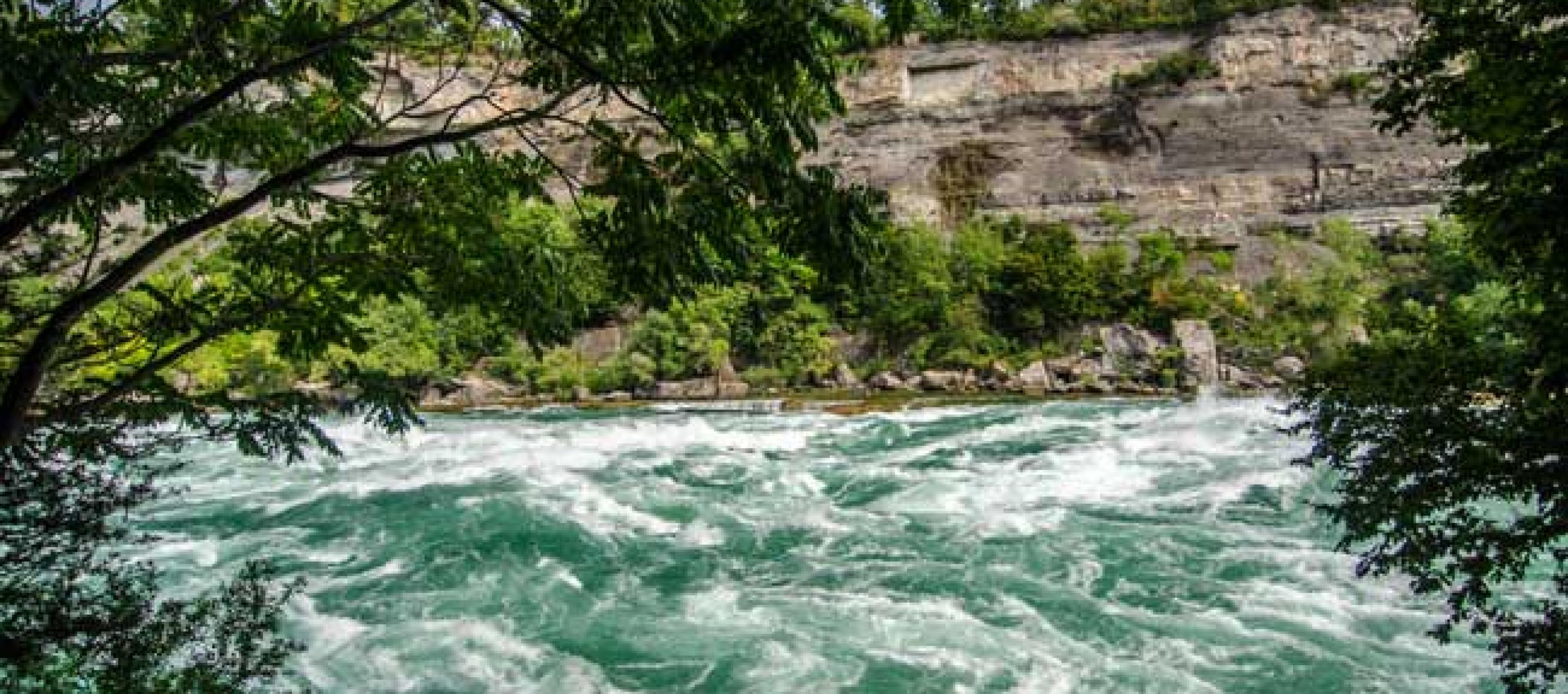
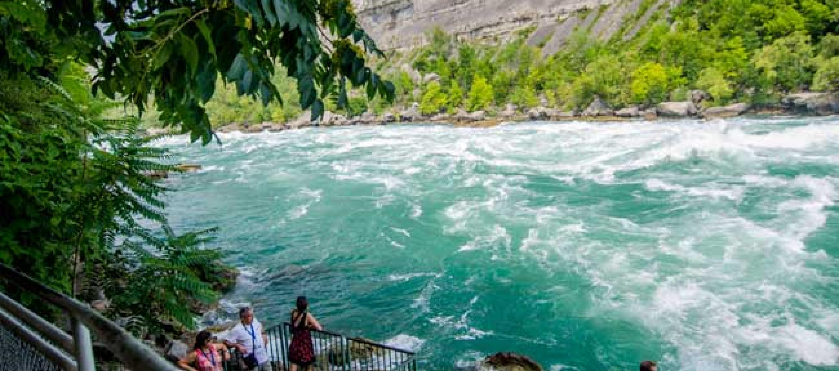
This river was named by the French explorers _"la Rivière au Galet"_, in English, _"river of the gravely/pebbly banks"_. Wikipedia has a wonderful photo showing how scenic some of this river will be: Click Here.
Numerous random areas of shoals should create swiftwater and minor rapids at good flows. The problem is, good flows are likely to be very rare, in large part due to the flood-control dam just above the listed put-in.
Our 'recommended run' is 4.3 miles in length, including the best gradient (such as it is). Those interested in a longer trip may continue downstream to other access points. Gradient for the next nearly 15 miles of river (down to 220th Avenue) varies between 6-10 feet per mile, containing many more areas of shoals and minor rapids, but also containing significant flat/flowing water.
Have you run this section? Help out your fellow boaters with a comment or report below! (Add photos or video if you have them!) Is there legitimate whitewater? Any playable features? Or, does it fail to create anything more than swiftwater and splishy-splash?
Rapids in this Run (6)

Hazards & Portages (1)
Caution: The following locations may require scouting or portaging. Always check current conditions.
Difficulty
Class I-II
Length
4.3 mi
Gradient
10 ft/mi
max 18
Rapids
6
1 Hazard
Access Points
Difficulty Classes
I Easy
II Novice
III Intermediate
IV Advanced
V Expert/Extreme
VI Unrunnable
Current Conditions
5-Day Forecast
Whitewater data from
American Whitewater
American Whitewater