B) Little Falls to Big Falls (PnP or 2.7 miles)
Gauge Conditions
Runnable: 600.0 – 2,500.0 CFS
Almost certainly too low for reasonable whitewater. (Likely less than 240 cfs at Big Falls.)
Data from American Whitewater & USGS
Run Map
Interactive run map
Loads as you approach this section.
Run Time Estimate
Select put-in and take-out to estimate time.
Plan This Trip
See wind-adjusted speed maps, forecast planning, and detailed time estimates.
Sign in to generate an AI timing estimate for this run.
Whitewater timing varies with scouting, portages, and group pace. Use as a planning baseline.
Description
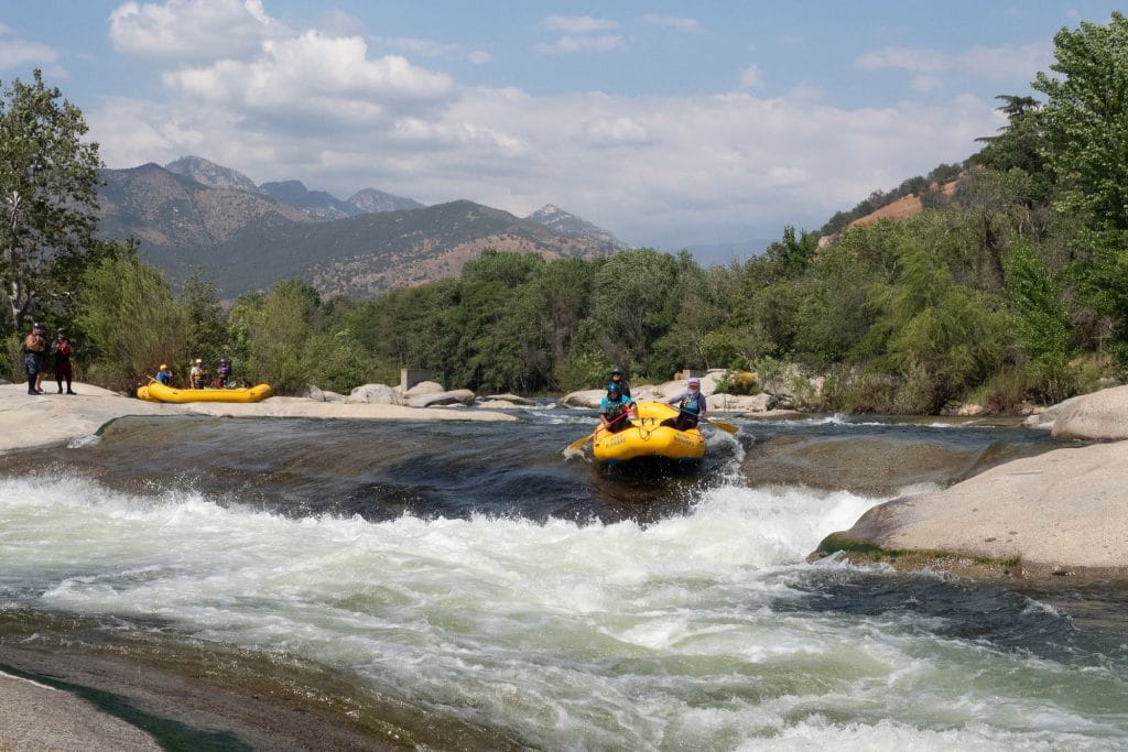
Where CTH.N crosses the South Fork of the Jump River, you would have no idea what lies just upstream and downstream. At N, the river is flat and flowing, recovering from Little Falls, and readying for Big Falls.
Little Falls is roadside off Big Falls Rd less than a mile east of Cty N, and Big Falls is about 1.3 miles to the west.
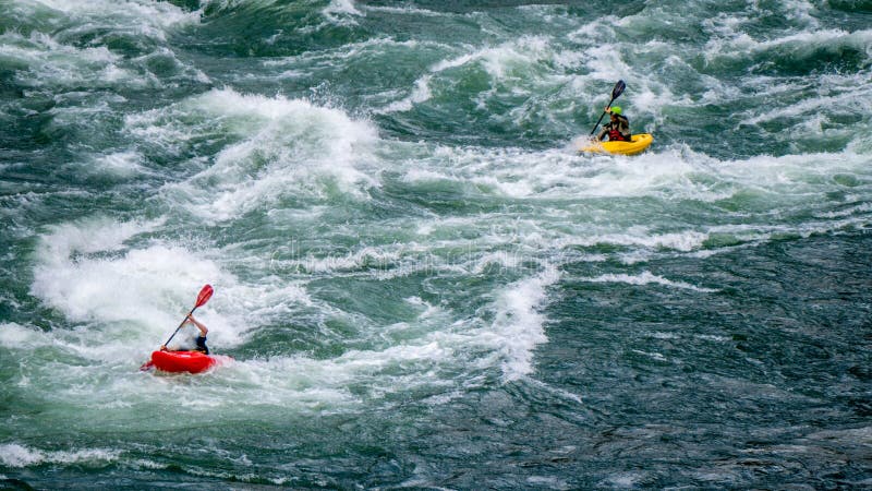
Each 'falls' can easily be done as a PnP (carry-up, carry-out), as there is a lot of action in a brief area at each.
In fact, when many experienced boaters talk
about paddling "the Jump", they are referring to just a PnP on Big Falls (as though
there were no other parts of the Jump to consider paddling) ... and for them, that might indeed be the case, but those looking for somewhat less challenging rapids or a longer trip will find some of our other listed sections quite worthwhile!
By the way . . . any time you are on shore (at either Little Falls or Big Falls), be aware there is plenty of poison ivy around. (KNOW WHAT IT LOOKS LIKE!!!)
Rapids in this Run (2)
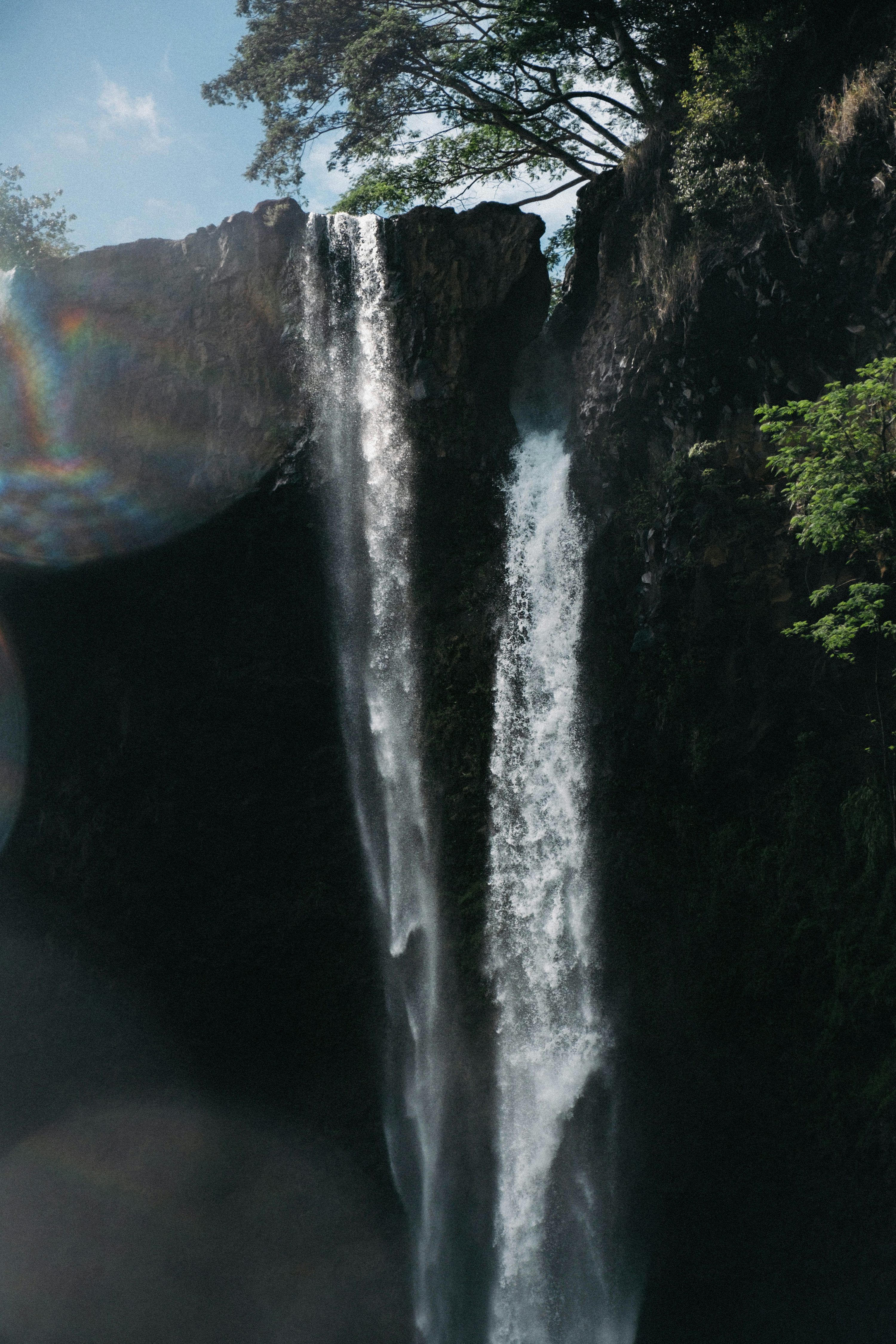
Waterfalls (1)
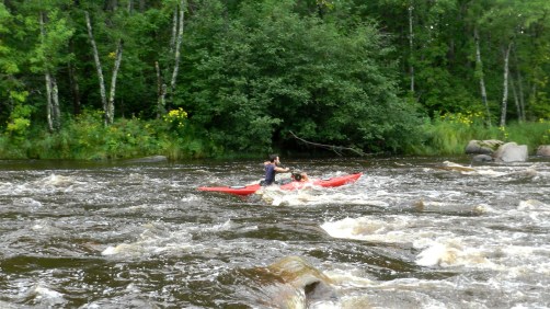
Playspots (3)
Difficulty
Class II-III(IV)
Length
2.7 mi
Gradient
26 ft/mi
max 48
Rapids
2
Access Points
Shuttle Info
Often shortened to just Big Falls (carry-up, carry-out short run).
Little Falls is roadside off Big Falls Rd less than a mile east of Cty N.
Difficulty Classes
I Easy
II Novice
III Intermediate
IV Advanced
V Expert/Extreme
VI Unrunnable
Current Conditions
5-Day Forecast
Whitewater data from
American Whitewater
American Whitewater