B) MSU Wave (0.1 miles)
Gauge Conditions
Data from American Whitewater & USGS
Run Map
Interactive run map
Loads as you approach this section.
Description
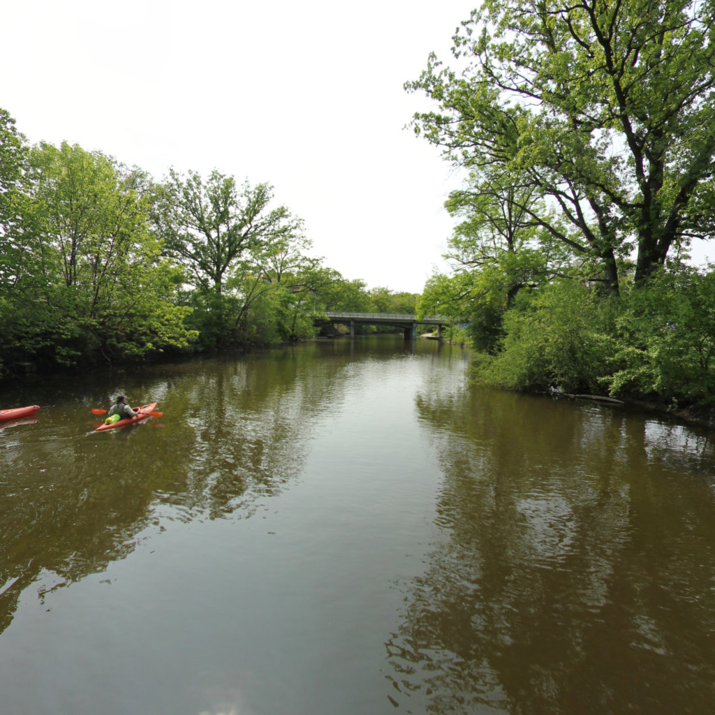
The best play wave in southern Michigan when the level is right. There is an old cement, river wide low water dam that is broken up. Most of the year the water is only a few inches deep, but at higher levels a decent play wave is created.
The following clip shows side surfing at about 800 cfs: _MSU Wave_
Rapids in this Run (1)
Difficulty
Class I(II)
Length
0.0 mi
Rapids
1
Access Points
Shuttle Info
Since this is a 'park-and-play', the directions shown below have been defaulted to show routing from your zip-code to this feature. You can use the text entry box to input your home or other more starting location to get more specific drive time, distance, and directions to this location.
Parking and river access are available on either the north or south shore of the river at the wave.
From the south, there is a small, 15 car parking lot in a pull out loop by the bus stop. This is about 100' from the wave. Parking is by permit only until 6:00pm on weekdays. After 6:00pm and on weekends, anybody can park. There is a cement 'viewing' platform just upstream of the wave. This is underwater at high flows, but at lower flows is a good place to get into your boat and seal launch into the river.
From the north, the wave is behind (south) of the Administration building where there is metered parking. (I believe the meters are free after 6:00pm and on the weekends.) The parking area is about 50 to 70 yards from the wave. A cement wall goes upstream from the wave. Just past the cement wall there is a grassy hillside where you can slide you boat into the river.
Difficulty Classes
I Easy
II Novice
III Intermediate
IV Advanced
V Expert/Extreme
VI Unrunnable
Current Conditions
5-Day Forecast
Whitewater data from
American Whitewater
American Whitewater