B) Two miles above the Horse Park to Leatherwood Falls
Gauge Conditions
Runnable: 400.0 – 5,000.0 CFS
Upper limit for best boatability uncertain. Please help your fellow boaters with a comment or report.
Data from American Whitewater & USGS
Run Map
Interactive run map
Loads as you approach this section.
Run Time Estimate
Select put-in and take-out to estimate time.
Plan This Trip
See wind-adjusted speed maps, forecast planning, and detailed time estimates.
Sign in to generate an AI timing estimate for this run.
Whitewater timing varies with scouting, portages, and group pace. Use as a planning baseline.
Description
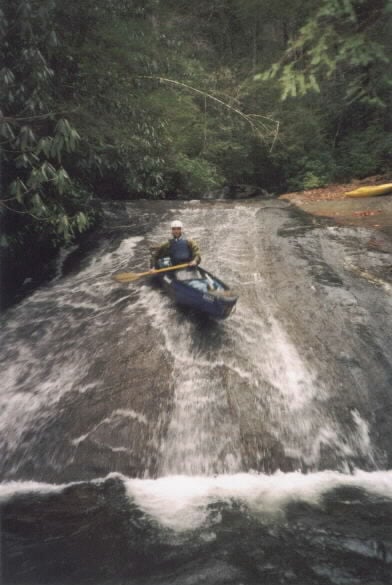
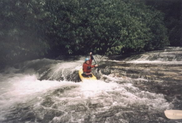
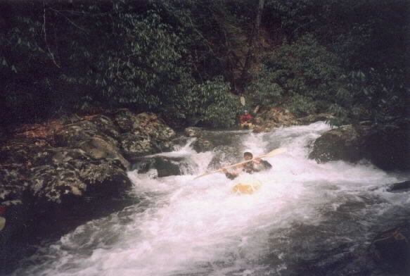
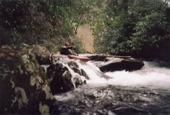
Fires Creek is a narrow steep roadside whitewater run. Even though it has a large watershed, good access, and is near several whitewater outdoor centers, Fires Creek has attracted little local attention. Unlike other similar creeks Fires has no single spectacular large rapid. However when the gauge reads 400 cfs or more the creek is literally a 6-mile rapid with a western feel. The run is genuinely fun and very constant in character. Fires Creek is narrow and thus there is always a strainer hazard. There is a bridge about halfway down the run but boaters can access the stream to put in almost anywhere. Taking out is slightly more difficult but not a real problem, because of the nearby road. _'The two miles above the horse camp from the concrete arch bridge down drop at an average of 200 fpm. Sure didn't feel that steep. Very continuous gradient, no big drops.'_ Brad Roberts, 2003 Clay County AFWS Rain Gauges
Try this Google Map s linke to locate or get directions to the take-out.
Rapids in this Run (1)
Waterfalls (1)
Hazards & Portages (3)
Caution: The following locations may require scouting or portaging. Always check current conditions.
Difficulty
Class II-III+
Length
2.2 mi
Gradient
113 ft/mi
max 200
Rapids
1
3 Hazards
Access Points
Difficulty Classes
I Easy
II Novice
III Intermediate
IV Advanced
V Expert/Extreme
VI Unrunnable
Current Conditions
5-Day Forecast
Whitewater data from
American Whitewater
American Whitewater