B) Underwood Tower Rd to Steigers Bridge (7.5 miles) Scenic
Gauge Conditions
Runnable: 2.8 – 5.0 FT
Almost certainly too low. Help your fellow boaters! We need input to fine-tune boatable levels. Add a comment or report!
Data from American Whitewater & USGS
Run Map
Put-in
Take-out
Rapids/Hazards
Scenic
Recreational
Description
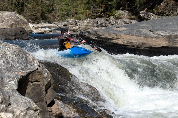
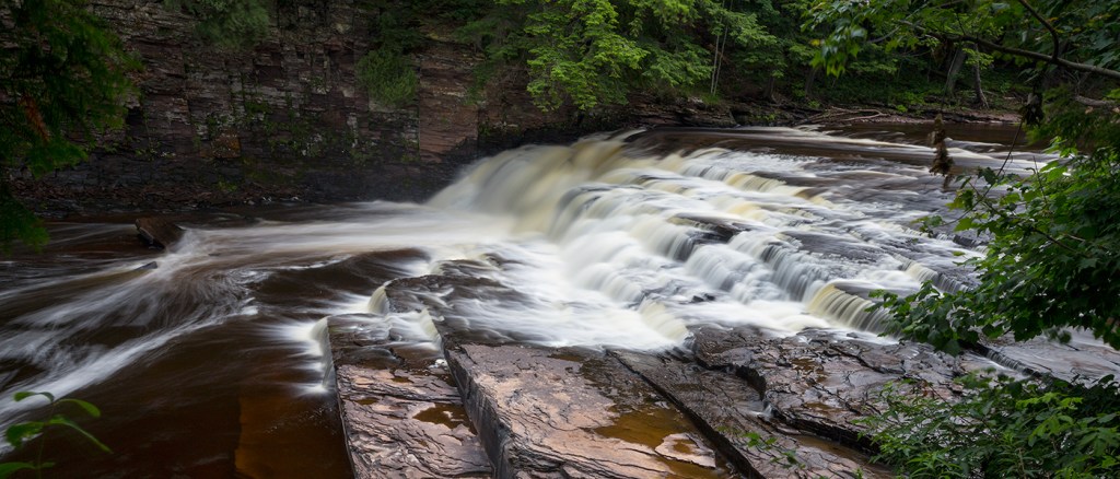
Reach includes Minnewawa Falls and Nimikon Falls.
Some fine video of this run is available at: https://youtu.be/nk85E9flJEM
Put-in: broken bridge on Underwood Tower Road
Take-out: Steigers Bridge on logging road
Note: Getting shuttle vehicles down to the listed take-out at Steigers Bridge may not be available due to the logging road being closed (gated). This may necessitate continuing downstream to run the Lower Presque. This makes a long day, paddling a total of 15.7 miles (or 16.8 to the mouth, including the 'final mile' or Bottom Presque run).
Note: There is about 16 miles of low gradient river from the listed take-out of the prior (upper section) to the put-in for this section.
Click here for Part 1 of an article from the AW Journal, way back in 1981!
Click here for Part 2 of the article.
The article describes the following: Michigan's, Upper Presque Isle, Lower Presque Isle, Middle Black, Lower Black, Upper Silver, Lower Silver, Falls, and Rock; and Wisconsin's Lower Brunsweiler, Montreal Canyon, and West Branch Montreal.
* * *
Rapids in this Run (2)
Waterfalls (2)

Difficulty
Class II-IV
Length
7.5 mi
Gradient
20 ft/mi
max 58
Rapids
2
Access Points
Difficulty Classes
I Easy
II Novice
III Intermediate
IV Advanced
V Expert/Extreme
VI Unrunnable
Current Conditions
5-Day Forecast
Whitewater data from
American Whitewater
American Whitewater