B) Wooden Bridge to White Oak Junction (7.4 miles)
Gauge Conditions
Runnable: 11.5 – 14.5 FT
Low, but *maybe* runnable.
Data from American Whitewater & USGS
Run Map
Description
Rock Creek lies entirely within the Daniel Boone National Forest and Big South Fork NRRA, and is one of Kentucky’s most precious natural resources. The 18 miles upstream of White Oak Junction have been protected as a Wild River since 1972, and are thus spared from the logging and coal mining that have devastated so many of Kentucky’s waterways. Even the lower portion of Rock Creek, which has for decades been tainted with acidic mine runoff, is slowly regaining its health thanks to the combined efforts of the US Fish and Wildlife Service, Forest Service, KDFWR, and the coal industry.
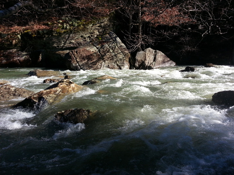
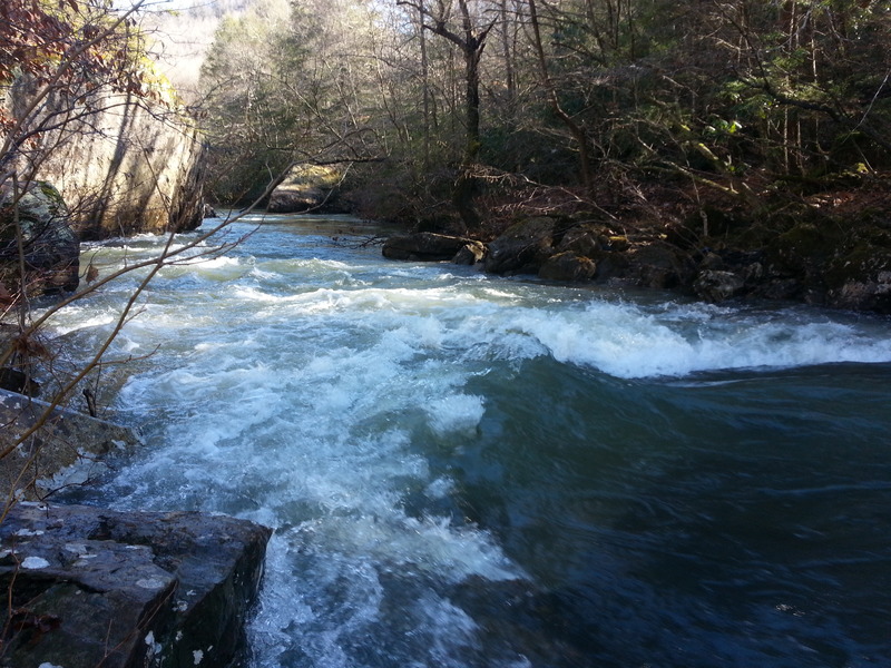
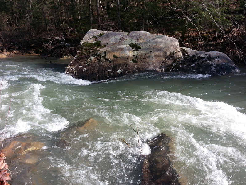
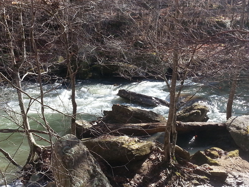
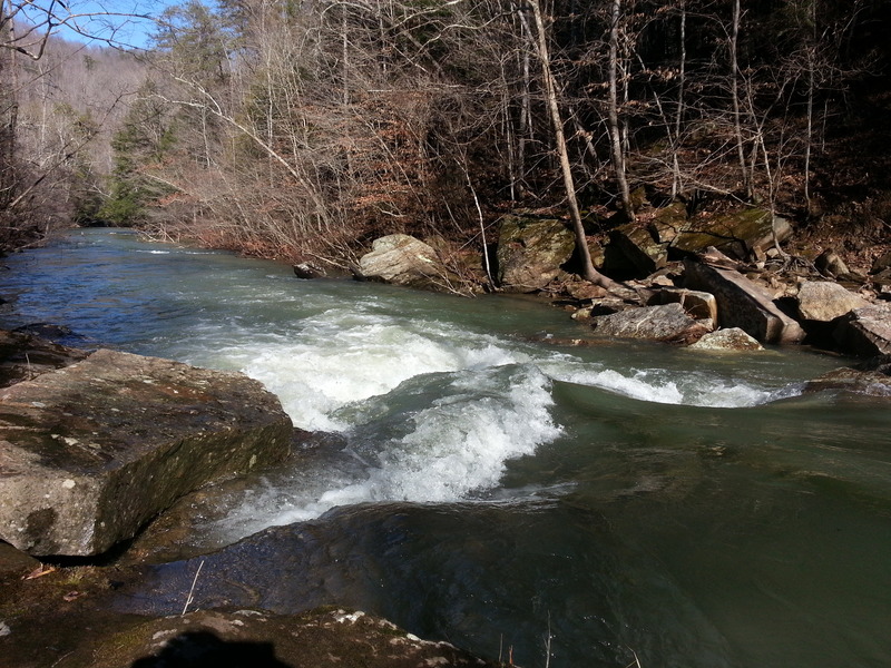
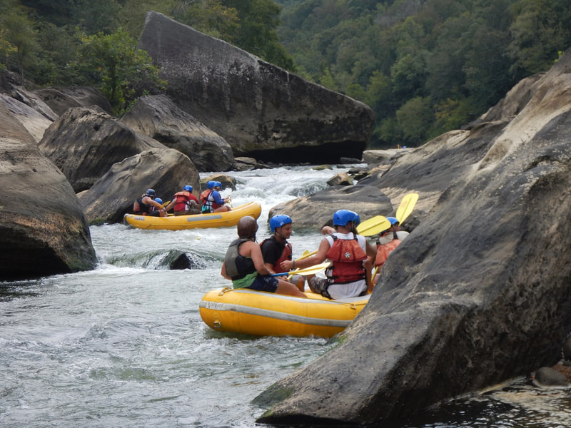
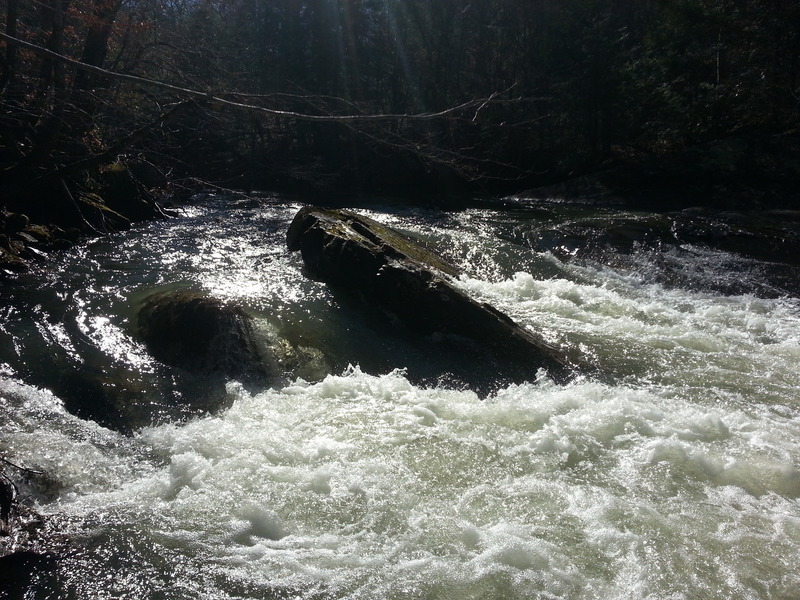
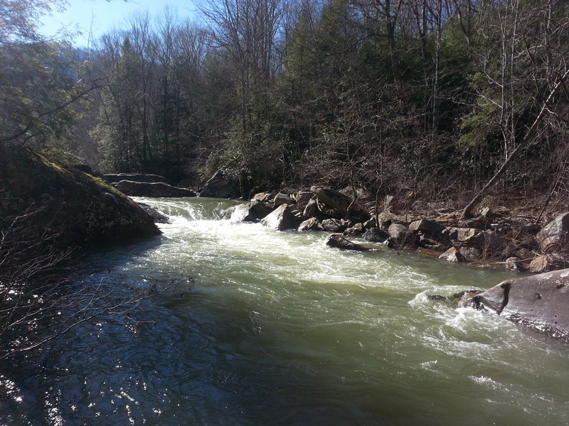
The middle section is arguably the most scenic, and features seven rapids in the class II to III spectrum, interspersed with lots of boogie water. Even the flatwater is interesting as you wind beneath towering cliffs and amid giant boulders, some of which have 30-foot hemlocks growing out of them. While this section begins at the wooden bridge (third river crossing), there is a long stretch of somewhat denuded floodplain before the forest closes back around you and the first rapid appears. For this reason, the recommended putin is actually a little way downstream of the bridge. You will drive past a small inholding with a couple cabins and a rickety footbridge stretching across the creek. Put in just below, wherever it is convenient to park. Rock Creek/Bell Farm road parallels the creek for its entire length, so you can scope for deadfalls on the drive up.
Our thanks to Daniel Wheeler for this fine write-up!
Difficulty
Class II-III
Length
7.2 mi
Gradient
15 ft/mi
Rapids
9
Access Points
Difficulty Classes
I Easy
II Novice
III Intermediate
IV Advanced
V Expert/Extreme
VI Unrunnable
Current Conditions
5-Day Forecast
Whitewater data from
American Whitewater
American Whitewater