Bailey Road to Wabash River (3.6 miles)
Gauge Conditions
Runnable: ? – ? CFS
Approximate reading: This gauge is 2.5 miles away on Treaty Creek. Use as a general reference only.
Data from American Whitewater & USGS
Run Map
Run Time Estimate
Select put-in and take-out to estimate time.
Plan This Trip
See wind-adjusted speed maps, forecast planning, and detailed time estimates.
Sign in to generate an AI timing estimate for this run.
Whitewater timing varies with scouting, portages, and group pace. Use as a planning baseline.
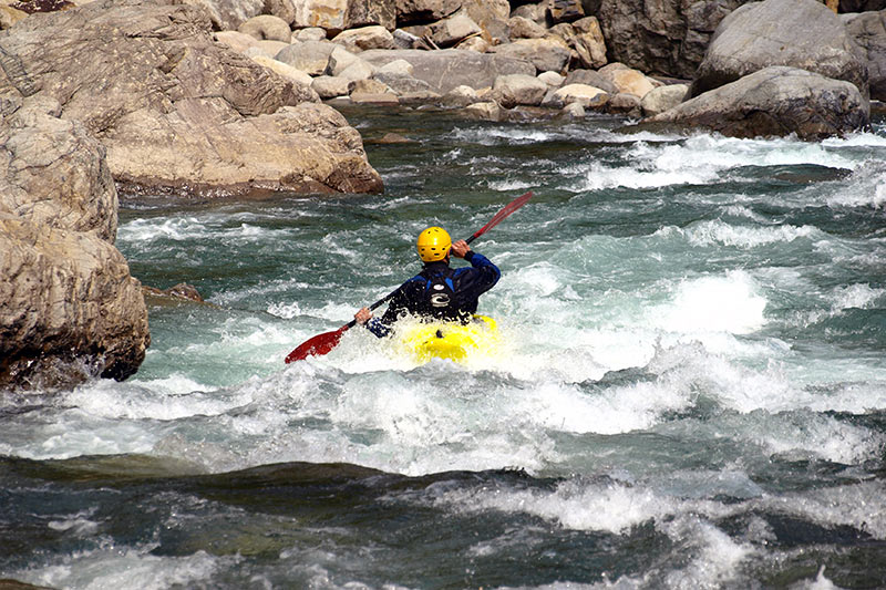
Description
Put-in: probably about 745'
Take-out: something just under 650'
Total drop: ~95'
A local paddler (Jason Tharp) volunteers:
Treaty Creek is mostly class 2 with a spot that could reach class 3 at normal levels. The put in is roadside near the airport. (Address would be 4059 S Bailey Rd, Wabash, IN.) The take out is across the Wabash at the first bridge (Huntington St bridge). There is a park there (Paradise Spring Park) with parking. The main drop can be scouted just upstream of the Bailey Rd bridge.
This run should be runnable about the same times as Pipe Creek (to the west) is. It had about the same depth and width as Pipe.
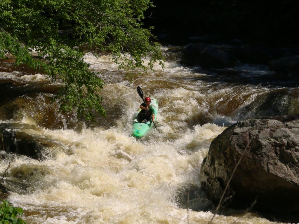
He provides a video of his run on YouTube (best action starts about 2:10, if you want to skip forward):
Thanks, Jason!
Rapids in this Run (7)
Playspots (1)
Difficulty
Class I-II(III)
Length
3.6 mi
Gradient
26 ft/mi
Rapids
7
Access Points
Difficulty Classes
I Easy
II Novice
III Intermediate
IV Advanced
V Expert/Extreme
VI Unrunnable
Current Conditions
5-Day Forecast
Whitewater data from
American Whitewater
American Whitewater