Beaver Brk Rd to Powell River Rd
Gauge Conditions
Runnable: ? – ? CFS
Approximate reading: This gauge is 7.3 miles away on Indian Creek. Use as a general reference only.
Data from American Whitewater & USGS
Run Map
Description
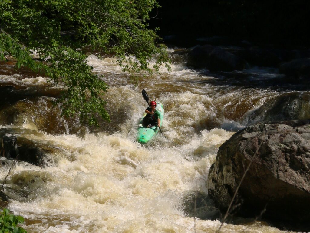
This is a semi-secluded, mostly flatwater paddle. Interesting scenery and two retired mill dams with excellent boof/landings which can be scouted from roadside. Numerous small ledges and shoals.
Rapids in this Run (2)

Difficulty
Class I-II(III)
Length
14.0 mi
Rapids
2
Access Points
Difficulty Classes
I Easy
II Novice
III Intermediate
IV Advanced
V Expert/Extreme
VI Unrunnable
Current Conditions
5-Day Forecast
Whitewater data from
American Whitewater
American Whitewater