Bell Smith Springs (1.4 miles)
Gauge Conditions
Runnable: ? – ? CFS
Approximate reading: This gauge is 4.8 miles away on Bay Creek. Use as a general reference only.
Data from American Whitewater & USGS
Run Map
Description
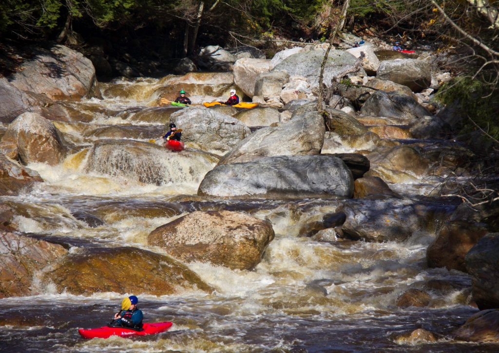
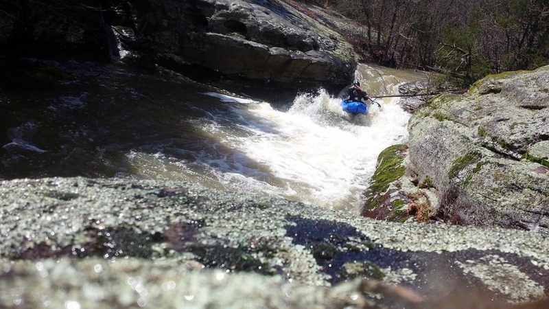
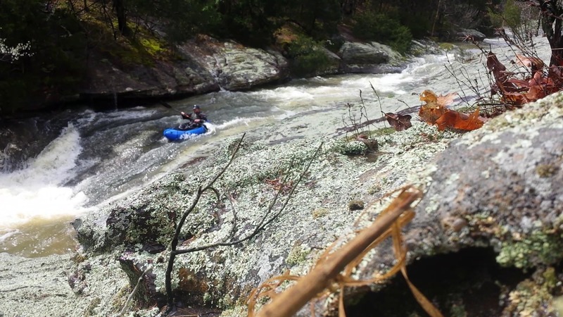
There are about 6 rapids in this short stretch that you will have opportunity to scout on your hike up the creek. When run, you will have about 20 feet to bail before the final sluice/rapid (#6).
With just over a half-square-mile of drainage (at put-in), it will take major snowmelt or significant rain to make this a 'go', and the window of opportunity is likely to be extremely limited (during, or within an hour, after a good rain). USGS StreamStats Beta software lists other interesting and potentially relevant info:
Average Soil Permeability is 1.001 inches per hour, which suggests that when soil is dry/unfrozen, an inch of rain per hour will NOT run off but will soak in.
Thus, in general, it will take rainfall of over an inch an hour before anything hits the creek!
That said, if you try for this and find it too low, you can look at the immediately adjacent run on Bay Creek. With 10 square miles drainage at its put-in, you'll have far more likelihood of catching it runnable. (Though that's still pretty small.)
Rapids in this Run (3)
Difficulty
Class II-III
Length
1.4 mi
Gradient
110 ft/mi
Rapids
3
Access Points
Difficulty Classes
I Easy
II Novice
III Intermediate
IV Advanced
V Expert/Extreme
VI Unrunnable
Current Conditions
5-Day Forecast
Whitewater data from
American Whitewater
American Whitewater