Below Link Dam to Veterans Park
Gauge Conditions
Runnable: 800.0 – 4,000.0 CFS
Data from American Whitewater & USGS
Run Map
Run Time Estimate
Select put-in and take-out to estimate time.
Plan This Trip
See wind-adjusted speed maps, forecast planning, and detailed time estimates.
Sign in to generate an AI timing estimate for this run.
Whitewater timing varies with scouting, portages, and group pace. Use as a planning baseline.
Description
The 1.5-mile-long Link River connects Upper Klamath Lake with Lake Ewauna, after which the river takes the name of _Klamath River_.
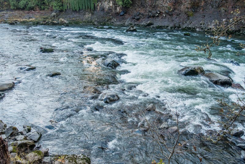
There are several rapids on the river, but the main attraction for local boaters is the Link River Wave which is in only during rare high flows. Upper Klamath Lake must be full and additional heavy precipitation or runoff is needed for the Link River to flow high enough to create the wave. This is most likely to occur between February and April in wet years only. The diversion of water to the Upper Klamath Project's A-Canal and to the Keno Canal may also affect flow.
The rapids just below the dam on the Link River are the namesake falls in _Klamath Falls_. The channel splits around a few islands, offering different routes and options.
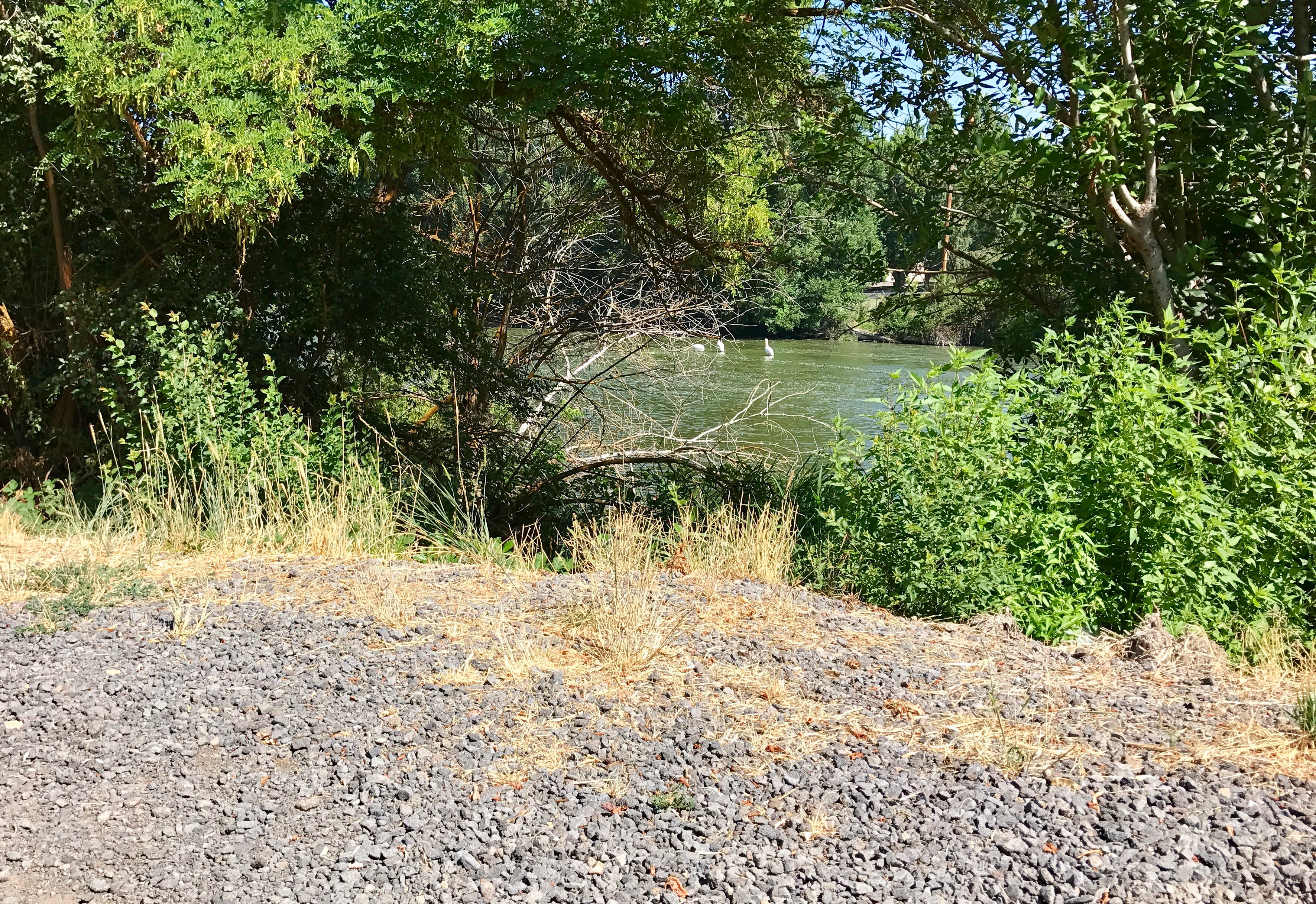
The Link River Trail is on river right for the full length of the river and provides walk-in access. The trail is actually a gravel road that is closed to vehicles. The northern trailhead, which is the one convenient for boaters, is off Lakeshore Drive. The southern trailhead is behind the Favell Museum on West Main in Klamath Falls.
Flows out of Upper Klamath Lake are controlled by the Bureau of Reclamation's Link River Dam, which fully spans the river and also diverts water into canals on both banks. The dam has no means of passage for boats and is not runnable, so it poses a barrier to navigation and boaters should enter the river below the dam. The area around the dam is fenced off.
If the Link River is in, the Klamath River's Keno Run is almost certainly in as well, providing another run nearby.
_Put-in_
Although it is possible to enter Upper Klamath Lake just upstream of the dam, paddle a short distance downstream (and over a log boom), and portage the dam on river right, this is much more complicated than simply walking on the Link River Trail to an access point downstream of the dam where a bridge over the Keno Canal provides access to the river.
_Take-out_
The easiest place to take out is on river left at Veterans Park, just downstream of the Main Street bridge. It's also not too hard to take out on river right, get back on the Link River Trail, and walk back upstream.
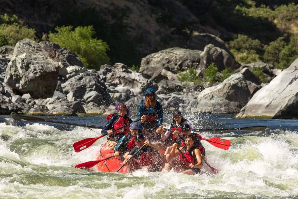

Difficulty
Class III
Length
1.2 mi
Gradient
28 ft/mi
Rapids
5
Access Points
Difficulty Classes
I Easy
II Novice
III Intermediate
IV Advanced
V Expert/Extreme
VI Unrunnable
Current Conditions
5-Day Forecast
Whitewater data from
American Whitewater
American Whitewater