Below Whiskey Creek to Applegate Reservoir
Gauge Conditions
Runnable: ? – ? CFS
Approximate reading: This gauge is 2.7 miles away on Applegate River. Use as a general reference only.
Data from American Whitewater & USGS
Run Map
Run Time Estimate
Select put-in and take-out to estimate time.
Plan This Trip
See wind-adjusted speed maps, forecast planning, and detailed time estimates.
Sign in to generate an AI timing estimate for this run.
Whitewater timing varies with scouting, portages, and group pace. Use as a planning baseline.
Description
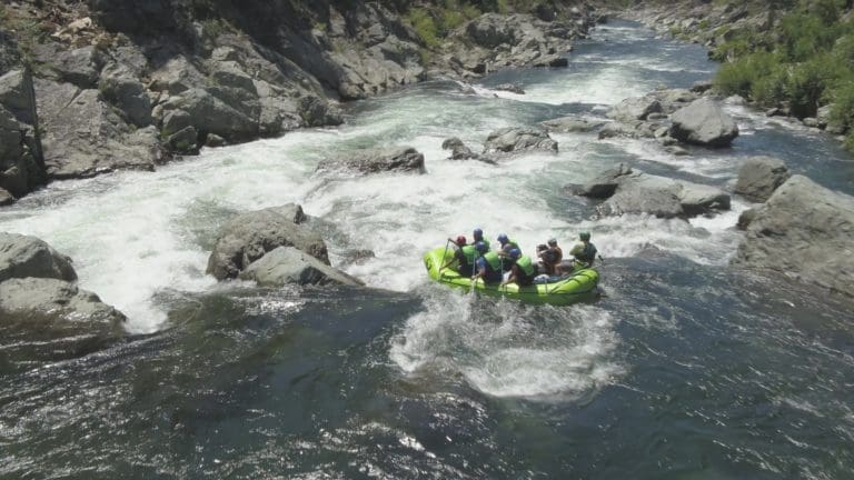
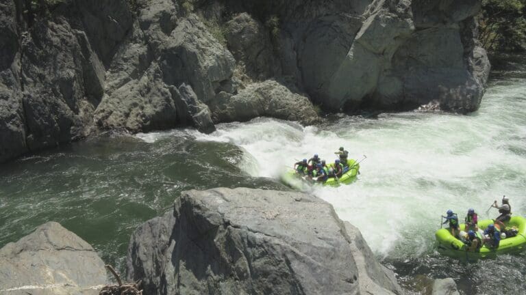
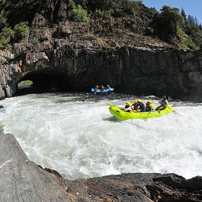
The Middle Fork Applegate River is a fairly continuous class III creek run just south of the Oregon/California state line within the Rogue River-Siskiyou National Forest. The river is beautiful, and it is very popular with boaters from the Rogue Valley. It is considered a good introduction to creek boating. The run is busy, but there are many eddies. Mostly the domain of kayaks, IKs, and packrafts, the MF Applegate can be run by small rafts (10-12') when flows at the gage exceed 1000 cfs.
The Applegate River flows north from the Siskiyou Mountains to its confluence with the Rogue River west of Grants Pass. It is the second largest tributary to the Rogue River after the Illinois River. The Middle Fork Applegate is 98% in California but enters Oregon just before it reaches the Applegate reservoir. The easiest access is from Oregon through the Applegate Valley. A gravel road runs alongside but it is often above or back away from the river.
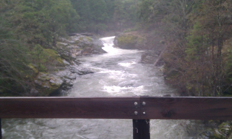
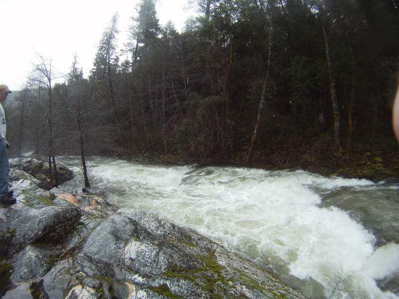
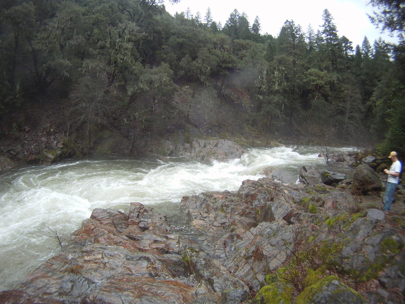
There is one ugly, undercut rapid in the middle of the run that is almost always portaged. It is immediately upstream of the second bridge. Scout the take-out for this portage carefully, as it would be easy to blunder into this rapid. The portage on river right is actually quite easy and you'll walk on some beautiful banded amphibolite, the same rock formation that forms the undercut shelf. That said, because of the portage and increase in quality of the river below the undercut, many people just put in at the bridge just downstream to make for a portage free lap.
Season: The Applegate has a spring snowmelt season but not every winter delivers enough snow for a long season. It can also flow during warmer winter rainstorms and this is when it is most often boated.
Flows: There is no direct gauge on the Middle Fork Applegate so flows are necessarily an estimate. NOAA maintains an inflow gauge to Applegate Reservoir (APLO3). The Middle Fork Applegate accounts for approximately 60-70% of this flow. When APLO3 reads above about 800cfs the Middle Fork Applegate might be in!
Getting There: From Medford, Oregon, take Highway 238 west to Ruch (25 minutes). Turn south onto Upper Applegate Road and go all the way around Applegate Reservoir (35 minutes). From Grants Pass, take Highway 238 east to Ruch (35 minutes). The roads are paved to the take-out but gravel from there to the put-in.
Take-out: There is a large developed access area on the reservoir next to a bridge over the reservoir. The river is only 2/10 of a mile upstream. Driving on to the put-in, the pavement ends in 1/10 of a mile. In 0.34 miles make a sharp turn back to the right onto Road 1040. The first bridge is in 2/10 of a mile. There is an alternate take-out on river left at this bridge.
Put-in: From the first bridge on the river, drive upstream 2.5 miles to the second bridge. This is a common put-in for the lower section. For the upper section, continue one mile to the Cook and Green Campground entrance, then go 1/10 of a mile beyond. If you reach the Butte Fork Bridge you have gone a bit too far. Hike a short ways out to the river. There is a nice pool immediately downstream of Whiskey Creek confluence and a 10-foot waterfall. Scout the creek carefully, as the 10' waterfall is not recommended to be run.
Other Information Sources:
Dreamflows.com - Upper Applegate
Oregon Rafting - description
Upper Applegate: Helmetcam video by Marcelo Leyva
Upper Applegate 2: Helmetcam video by Marcelo Leyva
Kayakers 4 Life: Helmetcam video by Marcelo Leyva
Applegate Partnership and Watershead Council
Rogue River - Siskiyou NF
Wikipedia Applegate
Applegate Headwaters Wild and Scenic River video
Rapids in this Run (5)
Waterfalls (1)
Hazards & Portages (2)
Caution: The following locations may require scouting or portaging. Always check current conditions.
Difficulty
Class II-III(V)
Length
4.0 mi
Gradient
54 ft/mi
Rapids
5
1 Hazard
1 Portage
Access Points
Shuttle Info
From Medford Oregon, take Highway 238 west to Ruch (25 minutes). Turn south onto Upper Applegate Road and go all the way around Applegate Reservoir (35 minutes). From Grants Pass, take Highway 238 east to Ruch (35 minutes). The roads are excellent to the take out, but gravel to the put in.
Difficulty Classes
I Easy
II Novice
III Intermediate
IV Advanced
V Expert/Extreme
VI Unrunnable
Current Conditions
5-Day Forecast
Whitewater data from
American Whitewater
American Whitewater