Black Rock Mill to Riley's Lock Boat Ramp
Gauge Conditions
Runnable: 90.0 – 550.0 CFS
Data from American Whitewater & USGS
Run Map
Run Time Estimate
Select put-in and take-out to estimate time.
Plan This Trip
See wind-adjusted speed maps, forecast planning, and detailed time estimates.
Sign in to generate an AI timing estimate for this run.
Whitewater timing varies with scouting, portages, and group pace. Use as a planning baseline.
Description
The entire course of Seneca Creek stretches many, many miles from the headwaters of Great Seneca Creek in Damascus Maryland through the cities of Gaithersburg, and Germantown and on down through Darnestown and Seneca, Maryland to the Potomac River. While not the action-packed whitewater trip that most users of this site are used to, it does offer a nice float trip for beginners with a few navigation and stability challenges thrown in for fun. The creek itself is maintained by a very few volunteers who work in conjunction with the MD park service to remove strainers, but often has large amounts of wood in certain less-maintained stretches which can present a complete set of challenges all their own. The park office can be reached at (301) 924-2127 if you want to report a strainer.
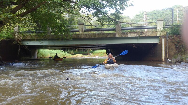
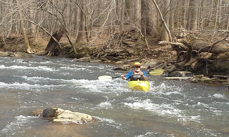
Seneca creek can be run in many different sections thanks to the many access points throughout the course of the creek. Above 120 CFS, Riffle Ford Road to Black Rock Mill Road will have the most class I-II action per mile, and Rte. 28 to Riley's Lock Road will hold its water a little longer than the rest of the creek remaining scrapy but runnable down to 70 CFS or so. Upstream of Riffle Ford road, a better minimum CFS might be 280. Upper levels are uncertain, but above 450 CFS the creek will get pushy and most of the fun will start to wash out.
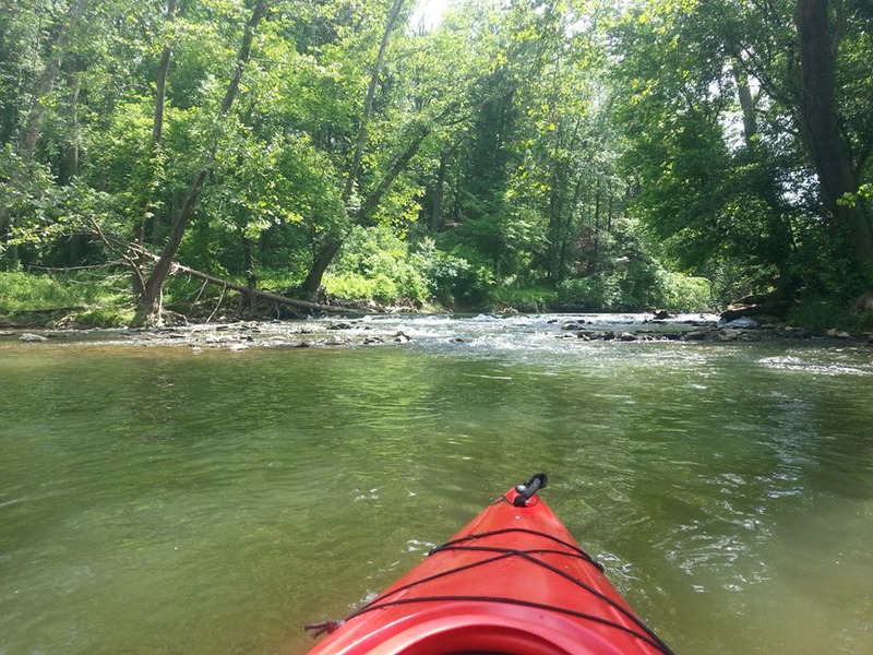
The water quality of this section is generally good. Sediments and pollutants picked up in the more populated areas have, for the most part, dropped out of the water by the time they reach the old Black Rock Mill and the bottom of the creek is clearly visible through most of the trip with the exception of some deep and long pools behind two low dams on the trip.
Access is reasonably good as is the ability for rescuers to reach those in trouble thanks to the Seneca Greenway Trail running parallel to the creek for most of its length as well as several access points from local roads which can bring vehicles close to the creek for either rescue or simply cutting the trip into more manageable chunks.
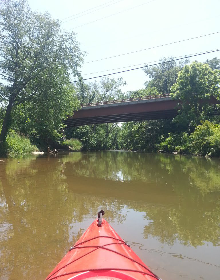
The section below River road is mostly slackwater which flows very slowly to the Potomac past Riley's Lock and the Seneca Creek Aqueduct. You have the option to take out at Berryville Road, but parking is limited and tight. You also miss the chance to see the beautiful Aqueduct at the take-out if you choose to end the trip at Berryville Road.
Difficulty
Class I-II
Length
15.2 mi
Gradient
10 ft/mi
max 15
Rapids
8
Access Points
Shuttle Info
There is only limited parking at the put-in but ample parking at the take-out. If parking at the mill is taken, you can park along Black Rock Road on the north side of the creek.
Directions:
13015 Rileys Lock Rd
Poolesville, MD 20837

Head north on Rileys Lock Rd toward River Rd
0.6 mi

Take the 1st right onto River Rd
0.7 mi

Continue onto Seneca Rd
2.8 mi

Turn left onto Darnestown Rd
1.7 mi

Turn right onto Black Rock Rd
###### Destination will be on the left
0.6 mi

16510 Black Rock Rd
Germantown, MD 20874
Alternatively, you can take Berryville Road which gives you an opportunity to see the bend in the creek below the Tschiffley Mill Dam ruins from the road.
Difficulty Classes
I Easy
II Novice
III Intermediate
IV Advanced
V Expert/Extreme
VI Unrunnable
Current Conditions
5-Day Forecast
Whitewater data from
American Whitewater
American Whitewater