Bridge-to-Bridge Run
Gauge Conditions
Runnable: ? – ? CFS
Approximate reading: This gauge is 8.8 miles away on Canyon Creek. Use as a general reference only.
Data from American Whitewater & USGS
Run Map
Description
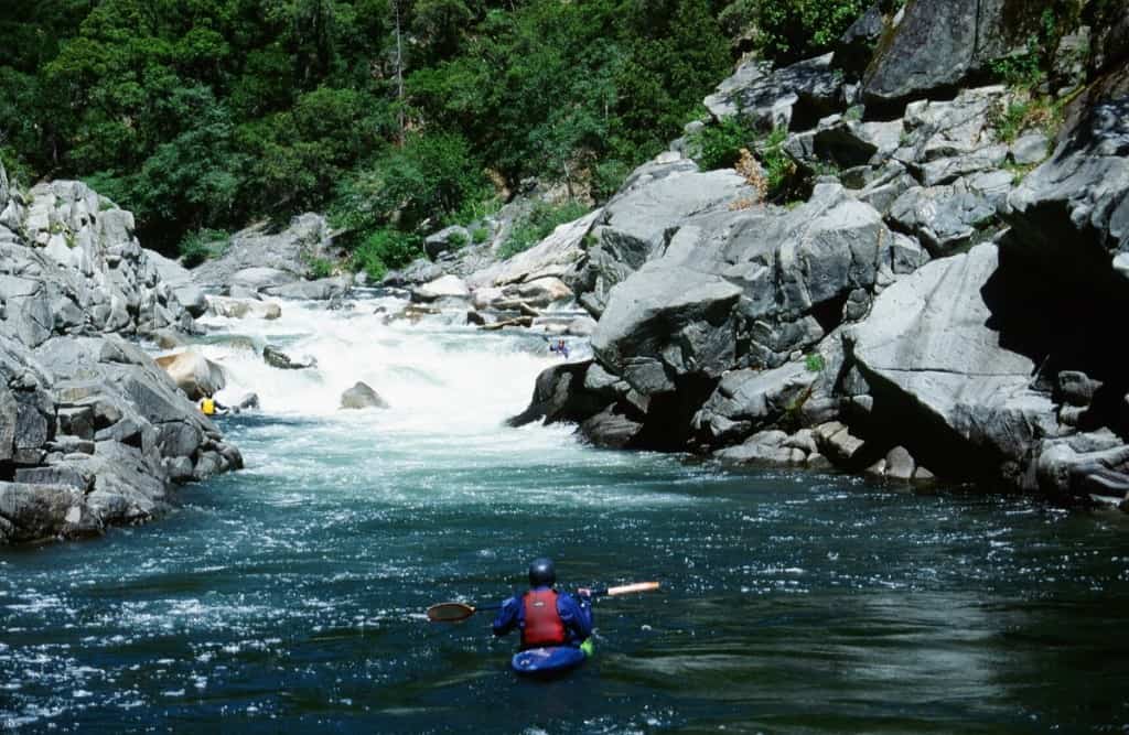
Canyon Creek flows out of the granitic heart of the High Trinities and this upper run is the best road-accessible section for paddlers seeking difficult whitewater on this classic creek.
While some paddlers put in at the Ripstein Campground, others choose to put in 1.5 miles downstream at the bridge to avoid Gorge Rapid (V-).
Above Gorge Rapid, the river is dominated by granite boulder gardens with constant action. Below the rapid, the river flows into a mix of geology: granite boulders and then metasedimentary rock with slides and plenty of boofs.
Flow estimates can be made using the main Trinity (Junction City) or NF Trinity (Helena) gages as a proxy – you'll be looking for above 200cfs, probably more for a packraft and a good deal more for a kayak. Menten's book says 150-500 for a Class IV run, but it's scrapey with lots of portages at 188cfs.
Additional Information:
Menten (page 132)
Sections of Canyon Creek are eligible for Wild and Scenic protections, and would be designated as such with the passage of Rep. Huffman's _Northwest California Wilderness, Recreation, and Working Forests Act_(NCWRWFA). AW is a proud supporter of this bill. Learn more at www.calwild.org.
Rapids in this Run (2)
Hazards & Portages (1)
Caution: The following locations may require scouting or portaging. Always check current conditions.
Difficulty
Class IV(V)
Length
3.7 mi
Gradient
108 ft/mi
max 178
Rapids
2
1 Hazard
Access Points
Difficulty Classes
I Easy
II Novice
III Intermediate
IV Advanced
V Expert/Extreme
VI Unrunnable
Current Conditions
5-Day Forecast
Whitewater data from
American Whitewater
American Whitewater