Buck Creek to Stevens Bridge Wild
Gauge Conditions
Runnable: 1,000.0 – 3,000.0 CFS
Data from American Whitewater & USGS
Run Map
Interactive run map
Loads as you approach this section.
Put-in
Take-out
Rapids/Hazards
Wild
Recreational
Run Time Estimate
Select put-in and take-out to estimate time.
Plan This Trip
See wind-adjusted speed maps, forecast planning, and detailed time estimates.
Sign in to generate an AI timing estimate for this run.
Whitewater timing varies with scouting, portages, and group pace. Use as a planning baseline.
Description
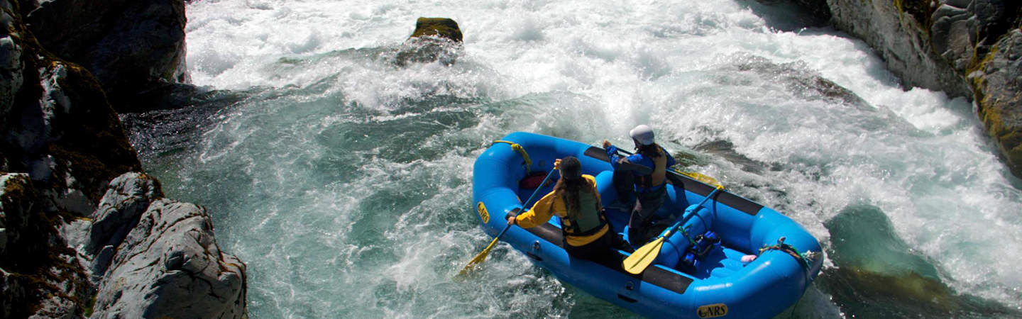
This is a quality Class IV-V hike-in run on a remote and lush upper section of the South Fork Smith River in the Siskiyou Mountains. The major rapids are above Black Hawk, including a Class V that most boaters fully or partially portage.
To reach the trailhead for this run, continue upriver from Stevens Bridge to the turn for FR 15N01 (13.5 miles from Highway 199). Follow road 15N01 for 3.5 miles and then turn left on FR 15N39 which winds its way two miles down towards the river and the South-Kelsey Trailhead (picnic tables, vault toilet, and parking for 10 cars). It's about two mile hike down the trail to the river. The Kelsey Trail was almost certainly an native trail to begin with and became a key Gold Rush commerce route linking the port of Crescent City to the mining town of Yreka. It passes through the Scott River as well.
Additional Info
The best guidebook for this run is _The New School Guide to Northern California Whitewater_ by Dan Menten, p. 26.
Rapids in this Run (6)
Waterfalls (1)
Difficulty
Class IV(V)
Length
7.8 mi
Gradient
63 ft/mi
Rapids
6
Access Points
Difficulty Classes
I Easy
II Novice
III Intermediate
IV Advanced
V Expert/Extreme
VI Unrunnable
Current Conditions
5-Day Forecast
Whitewater data from
American Whitewater
American Whitewater