C) Boney Falls Dam to CR420 (2 to 17.5 miles)
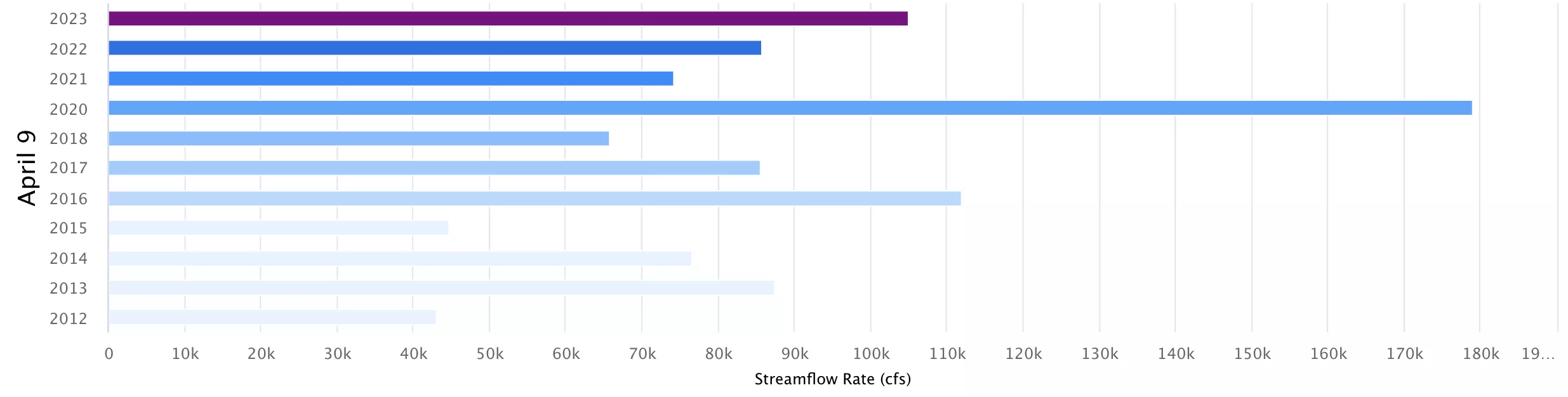
Gauge Conditions
Runnable: 1,500.0 – 6,000.0 CFS
Generally tame but runnable low flows.
Data from American Whitewater & USGS
Run Map
Run Time Estimate
Select put-in and take-out to estimate time.
Plan This Trip
See wind-adjusted speed maps, forecast planning, and detailed time estimates.
Sign in to generate an AI timing estimate for this run.
Whitewater timing varies with scouting, portages, and group pace. Use as a planning baseline.
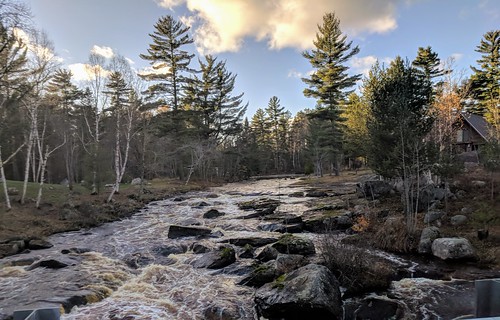
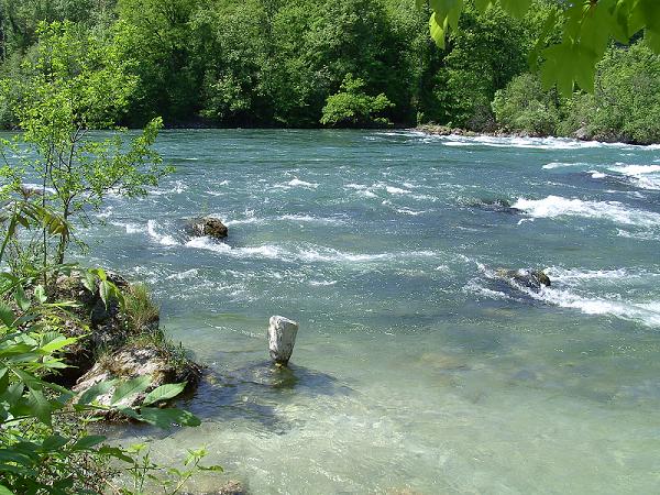
Description
The run is mostly flat and swift-water. The riverbed is generally open (unobstructed channel), though waves may build at higher levels.
It appears (from Satellite photos on Google) the run may start with about 1.5 miles of good gradient (though little apparent features) before things peter out for a while.
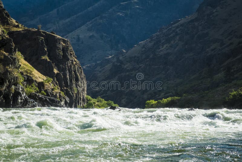
Approximately four miles into the run, a set of irregular sloping ledges is encountered. These ledges are stretched over about a mile or two of river, which may be accessible by nearby road.
(We do not have specific information regarding viability of access at top and bottom of this stretch.) Some boaters may wish to check this out for possible 'park-and-play', or for a short trip from the listed put-in.
Additional features appear downstream, though far more spread out. The final stretch (may 2 miles or so) is on backwaters from the dam at Chandler Falls, just downstream of our listed take-out.
The resolution on Google Maps for this area is excellent. Go to the 'Map' tab, click top right to switch from 'Topo' to 'Satellite' view, then zoom in to do a 'virtual flyover' of this reach!
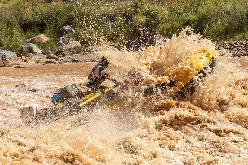
The following video (via YouTube, from a TV show) features a commercial rafting outfitter running this section of river. We have set start-time to skip intro/set-up footage. You can view the full show by dragging the YouTube 'slider' to the beginning (or any point) of the show.) *906 Outdoors Video*
Rapids in this Run (14)
 Rapid
II
Rapid
II
Possible playable wave/hole
 Rapid
Rapid
Robin G Road
 Rapid
Rapid
Confluence, South Mino-kwe Creek
Rapid
Rocky shoals
 Rapid
Rapid
*Possible* access point
 Rapid
Rapid
Second+Third Ledge
 Rapid
Rapid
Back-to-back-to-back very minor ledges
Rapid
*Possible* access point
 Rapid
Rapid
Minor ledges
 Rapid
Rapid
USGS active gauge
 Rapid
Rapid
Possible diagonal bedrock ledge/waves
 Rapid
Rapid
Bedrock slabs
 Rapid
Rapid
Powerlines
 Rapid
Rapid
possible minor wave/hole
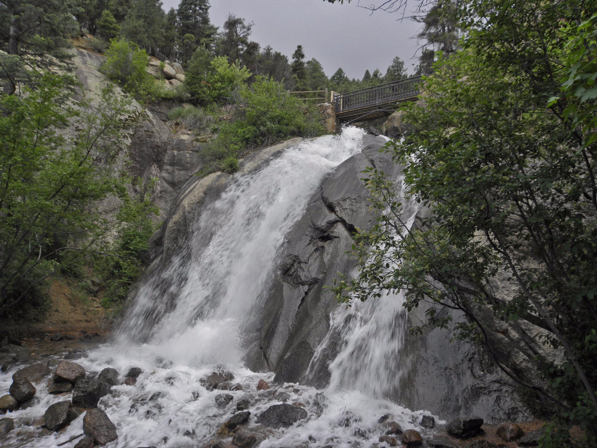
Waterfalls (1)

Difficulty
Class II(III)
Length
17.6 mi
Gradient
10 ft/mi
max 20
Rapids
14
Access Points
Shuttle Info
For driving directions to the ledge sequence, enter **45.9521828 -87.2186356** in the text box below.
Difficulty Classes
I Easy
II Novice
III Intermediate
IV Advanced
V Expert/Extreme
VI Unrunnable
Current Conditions
5-Day Forecast
Whitewater data from
American Whitewater
American Whitewater